
Browse Archives
Las Vegas Broadcast 12_2 (Autodesk University, UAV economic impact, Great Barrier Reef map, ancient maps and more)
0 Views0 Comments0 Likes
This Daily Digest from 12/2 covers topics such as Autodesk University in Las Vegas, the economic impact of UAVs, ancient maps, imagery partnerships, climate change and more.
What Does a Warming Arctic Mean for the Future?
0 Views0 Comments0 Likes
The Arctic is experiencing disproportionately higher temperature increases compared to the rest of the planet, triggering a series of cascading effects. This rapid warming has profound implications for global climate ...
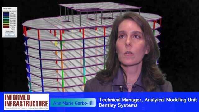
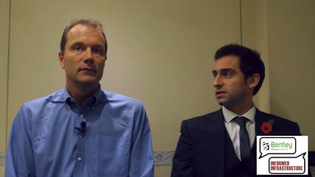
Software Interoperability Leads to Engineering Productivity
0 Views0 Comments0 Likes
The V1 Video team interviewed Anne Marie Garko-Hill, Technical Manger, Analytical Modeling Unit, Bentley Systems, at the 2016 NASCC: The Steel Conference, held April 13-15 in Orlando, Fla. She discusses engineers' desire for maximum productivity, Bentley Systems' affinity for developers with design experience, the benefits of Bentley software for its users, and how interoperability leads to greater productivity.
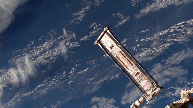
ROSA Deploys on International Space Station
0 Views0 Comments0 Likes
The Roll-Out Solar Array (ROSA) was deployed from the end of the Canadarm2 robotic arm Sunday, June 18 outside the International Space Station.
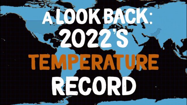
A Look Back: 2022’s Temperature Record
0 Views0 Comments0 Likes
2022 effectively tied for Earth’s 5th warmest year since 1880, and the last nine consecutive years have been the warmest nine on record. NASA looks back at how heat was expressed in different ways around the world in ...
Tracking California Rains During El Niño
0 Views0 Comments0 Likes
This winter, areas across the globe experienced a shift in rain patterns due to the natural weather phenomenon known as El Niño. New NASA visualizations of rainfall data show the various changes to California. According to the National Oceanic and Atmospheric Administration, El Niño was expected to produce wetter-than-average conditions from December 2015 to February 2016. Scientists refer to historical weather patterns and to look at trends of where precipitation normally occurs during El Niño events. Also, several factors—not just El Niño—can contribute to unusual weather pattern.
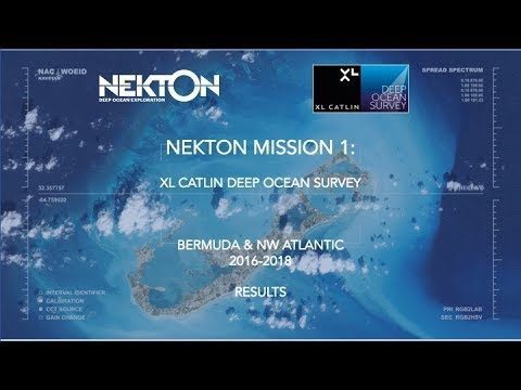
Nekton Mission I – Discovering the Rariphotic Zone
0 Views0 Comments0 Likes
Results from Nekton Mission I – the XL Catlin Deep Ocean Survey confirms the discovery of a new zone in the ocean, the Rariphotic Zone (Rare Light Zone) from 130 meters to 300 meters. The Rariphotic Zone is the fourth zone confirmed in the top 3,000 meters of the ocean, each defined by distinct biological communities living at different depths.
3D City Modeling Coming of Age through Innovation
0 Views0 Comments0 Likes
The V1 Video team interviewed Bob Mankowski and Aidan Mercer at the 2015 Bentley Year in Infrastructure Conference in London in early November. Mankowski is vice president of Bentley Software, and Mercer is senior marketing manager for Bentley Systems, and they discussed 3D city modeling, reality meshes, ContextCapture and their thoughts on the Year In Infrastructure 2015 event.

7_23 Esri UC Broadcast (Video Recap, Exhibitor News and More)
0 Views0 Comments0 Likes
This GeoSpatial Stream broadcast covers news and events from the recent Esri User Conference in San Diego, including a video recap of speakers and topics; news from Esri on the Special Achievement in GIS Awards, its Tapestry Segmentation system and a partnership with European Schoolnet; exhibitor news from Topcon Positioning Group, Airbus Defense and Space, LizardTech and Scene Sharp; a clip from an interview with Jack Dangermond, Esri's president and founder; and more.
Tracking Carbon from Wildfires to Ocean Blooms
0 Views0 Comments0 Likes
Between September 2019 and March 2020, wildfires killed billions of animals and decimated more than 200 thousand square kilometers of Australian forest, an area larger than Nebraska. Later, thousands of kilometers awa...


