
Browse Archives
Safe Software Bringing Data Translation to Geodesign
0 Views0 Comments0 Likes
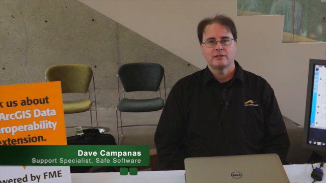
Safe Software is the maker of FME and a global leader in spatial data transformation technology. On behalf of V1 Media, Informed Infrastructure and GeoSpatial Stream, Todd Danielson interviewed Dave Campanas, software support specialist at Safe Software, at the Geodesign Summit 2015 in Redlands, Calif.
PrecisionHawk Making a Marketplace for UAS Data Management and Analysis
0 Views0 Comments0 Likes
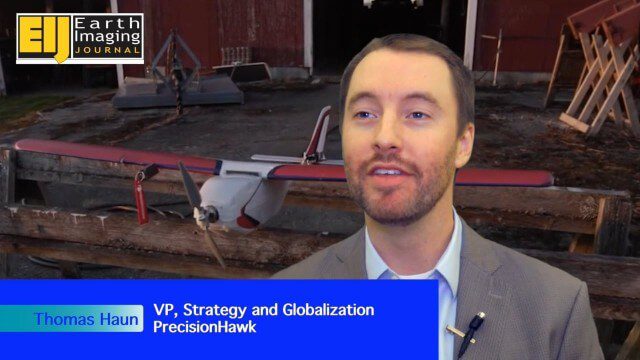
The V1 Video team spoke with Thomas Haun, vice president of strategy and globalization at PrecisionHawk, at the recent Commercial UAV Expo. PrecisionHawk has developed a fixed-wing UAS as well as an online data management and analysis platform to help data collectors provide insight. We talked about the agriculture market, the flexibility of using different sensor payloads and acting on information.

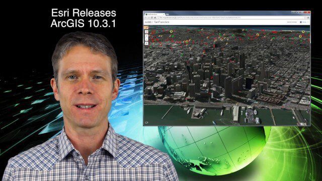
LizardTech’s Express Server 9
0 Views0 Comments0 Likes
Jon Skiffington, director of Product Management for LizardTech, describes and demonstrates the latest features and additions to the company's Express Server 9 product, "the fastest, most stable, and easiest way to distribute compressed, high-resolution raster imagery via standard protocols."
Tracing Demonstration for the Humanitarian OpenStreetMap Team (HOT)
0 Views0 Comments0 Likes
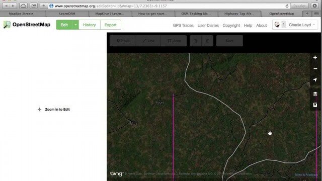
This is a simple demonstration of what it looks like to trace for the Humanitarian OpenStreetMap Team (HOT). It’s not meant as a full guide, just an example. If I’m too mumbly, please turn on the captions – the CC button below the video.

10_9 Earth Imaging Broadcast (Land-Cover Change, Seafloor Maps and More)
0 Views0 Comments0 Likes
This GeoSpatial Stream broadcast discusses Earth Imaging news, including new USGS land-cover change models; new maps of the world's seafloor; NASA's Global Precipitation Measurement satellite; industry news from Rapidlasso, Sewall and Optech; an imaging drone from Intel's wearable technology contest; and more.
Satellite-Based Wildlife-Monitoring Tool for Airports
0 Views0 Comments0 Likes
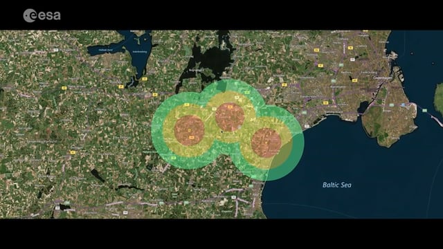
Wildlife habitats close to airports pose a serious risk to safety at takeoff and landing. A new service lets airports use Earth-observation satellites to identify and manage these areas.

Fly Your Satellite!
0 Views0 Comments0 Likes
Fly Your Satellite! is an educational program for university students, created by ESA after the launch of seven university CubeSats on the 2012 Vega maiden flight.
Tracking Three Decades of Dramatic Glacial Lake Growth
0 Views0 Comments0 Likes
In the largest-ever study of glacial lakes, researchers using a 30-year satellite data record have found that the volume of these lakes worldwide has increased by about 50% since 1990 as glaciers melt and retreat due to climate change.
5_21 Climate Broadcast (Antarctic Ice Shelf, ArcGIS Release and More)
0 Views0 Comments0 Likes
This GeoSpatial Stream broadcast discusses a NASA study on the shrinking Antarctica Larsen B Ice Shelf; Esri's new release of ArcGIS and its improvements and updates; industry news from Blue Marble Geographics, Boundless and BlackBridge; Nepal relief work geared toward rebuilding the area; Nepal earthquake data from RADARSAT-2; and more.

SpaceCurve Introduces Spatial at the Speed of Reality
0 Views0 Comments0 Likes
GeoSpatial Stream's Todd Danielson conducted an Internet Interview with SpaceCurve's CEO Dane Coyer and Founder Andrew Rogers. They spoke about the company's inception, Big Data, spatial indexing and business applications as well as how SpaceCurve created new technologies to integrate these varied components.


