


Category: Asia-Pacific

5_26 Asia Pacific Broadcast (DIWATA-1, Apple Maps and More)
2.97K Views0 Comments0 Likes
This Asia Pacific-themed GeoSpatial Stream broadcast covers the recent launch of DIWATA-1, The Philippines' first microsatellite; Australia's move toward more-accurate GNSS navigation at its airports; Apple opening a technical and support center in Hyderabad, India, for its Maps and navigation services; industry news from NTT Data, LizardTech, BJ Open Tide BoGan, Ozius Spatial and U-blox; a video clip from JAXA (in Japanese) about weather monitoring; and more.

3_10 Asia Pacific Broadcast (Solar Eclipse, Groundwater Monitoring and More)
2.36K Views0 Comments0 Likes
This Asia-Pacific-themed GeoSpatial Stream broadcast discusses the recent solar eclipse across Indonesia and Micronesia; Japanese Universities collaborating to help build The Philippines' first microsatellite; satellite data monitoring groundwater in Pakistan; Tropical Cyclone Winston observed over Fiji; industry news from Baidu, IndoorAtlas, Yahoo! Japan, Supergeo, and German and Japanese space agencies; a video showing the excitement of a full solar eclipse; and more.
1_21 Asia Pacific Broadcast (GPS Alternatives, Nepal Landslides and More)
3.46K Views0 Comments0 Likes
This Asia-Pacific-themed GeoSpatial Stream broadcast discusses new alternatives to GPS, including the latest satellite launch for India's budding navigation system; an Australian tool for modeling wind dispersal; Indonesia mapping damaged peatlands; industry news from geoshepherds, Ordnance Survey and Esri Indonesia; a study indicating that landslides were less prevalent than expected after the 2015 Nepal earthquake; and more.
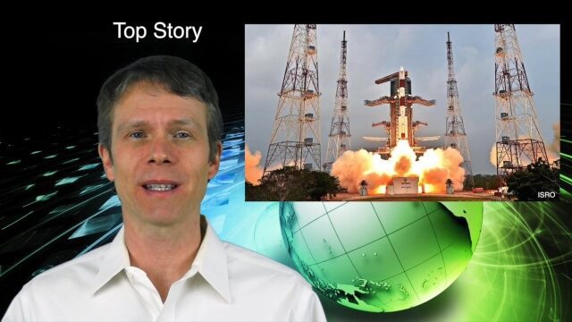
10_8 Asia Pacific Broadcast (New Satellites and Rockets, Mumbai Mapping and More)
3.16K Views0 Comments0 Likes
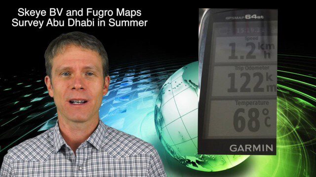
This Asia Pacific-themed GeoSpatial Stream broadcast covers several new satellites and rockets launched from Asia, including China's Pujian-1 and 20th Beidou satellites, a new Chinese Long March-6 rocket, imagery from China's TripleSat Constellation, and the Indian Space Research Organization launching another PSLV rocket carrying ASTRONAUT and six foreign satellites; Mumbai students mapping the Mithi River; Japanese scientists using laser scanning to study ancient tombs; industry news from Esri, Miyamoto International, Intergraph, Skeye BV and Fugro Maps; clips from a video about Ushahidi mapping in Semarang, Indonesia; and more.

8_27 Asia-Pacific Broadcast (Rising Seas, Pollution, Drones and More)
3.49K Views0 Comments0 Likes
This Asia-Pacific-themed GeoSpatial Stream broadcast discusses rising sea levels in coastal cities; decreased air pollution in the Middle East; Australian researchers using drones to track wildlife; images of Typhoon Goni over Japan; industry news from Esri, Abu Dhabi, Korea Aerospace Research and Maptek; thoughts on urban population explosions in China and personal travel experiences; and more.

7_16 Asia Pacific Broadcast (New Satellites, Drones Catching Tax Cheats and More)
3.20K Views0 Comments0 Likes
This Asia Pacific-themed GeoSpatial Stream broadcast discusses new Asian geospatial satellites from India, China and Japan; V1 Media's upcoming Webcast on Earthquake safety; laser scanning to map and preserve Japanese castles and Malaysian caves; drones used in Indonesia to catch tax cheats; industry news from MDA and Google; thoughts on digital preservation; and more.
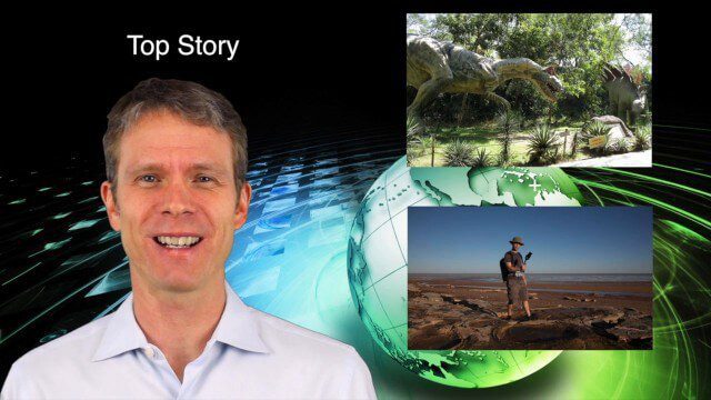
5_28 Asia-Pacific Broadcast (Dinosaurs, Chinese LiDAR and More)
3.33K Views0 Comments0 Likes
This Asia-Pacific GeoSpatial Stream broadcast discusses project in Australia to digitally document dinosaur tracks via imaging technology; the Indian Seismic and GNSS Network, which passed the "test" of the Nepal earthquake; industry news from AAM Sky Geospatial Solutions and Takor Group; an interview clip from the Riegl LiDAR 2015 User Conference in China; a preview of the HxGN Live conference in Las Vegas; and more.

4_30 Earthquake Broadcast (Nepal Mapping, Drone Video and More)
9.52K Views0 Comments0 Likes
This GeoSpatial Stream broadcast focuses entirely on the Nepal earthquake of April 25, 2015, that killed more than 5,000 people. News and video cover the scope of the destruction; how governments and relief organizations are helping through mapping; industry aid from Esri, DigitalGlobe and Airbus Defence & Space; an article on how Nepal was mapped in 48 hours; a video of the Mt. Everest avalanche; and more.
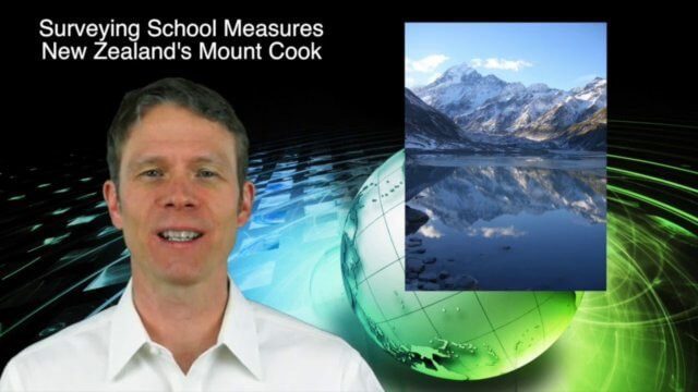
3_19 Asia Pacific Broadcast (Malaysia Airlines Search, India Water Tool and More)
3.86K Views0 Comments0 Likes
This Asia-Pacific-themed GeoSpatial Stream broadcast discusses Geoscience Australia's seafloor mapping efforts in the continued search for Malaysia Airlines Flight 370; India mapping schools and water; surveyors measuring the height of New Zealand's tallest peak, Mount Cook; industry news from Esri India, Locate15, ISRO and Google; powerful maps created by children in India of the slums they live in and how they'd like to see them rebuilt; and more.
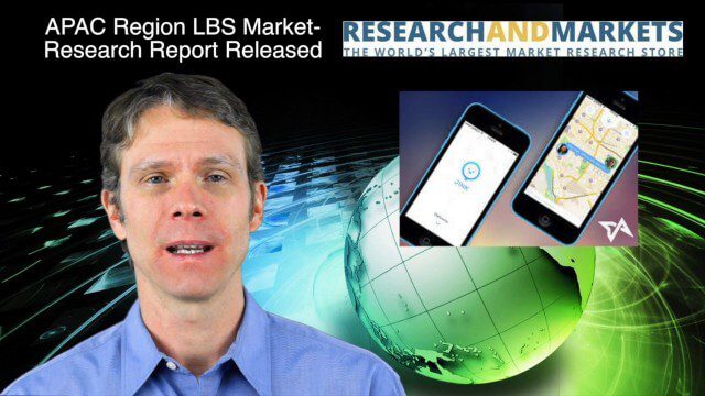
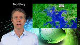
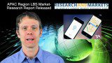
12_18 Asia-Pacific Broadcast (Cultural Heritage, APAC LBS Market and More)
3.98K Views0 Comments0 Likes
This Asia-Pacific-focused GeoSpatial Stream broadcast discusses a Cultural Preservation survey project in LaoSiCheng, China; a market-research report on the APAC region's LBS market; a V1 Media interview with a Bentley Systems Year in Infrastructure award winner from China; industry headlines from Paragon Software Systems, SkyTraq Technology Inc., Supergeo Technologies and Hamon Thermal Co.; and more.


