
Monthly Archives: January 2016
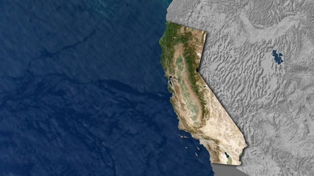
Open California: Our Data, Your Creativity
0 Views0 Comments0 Likes
We're releasing our growing California archive under an a CC BY-SA license. Join our community of image analysts, scientists, developers, and researchers: https://www.planet.com/open-california/
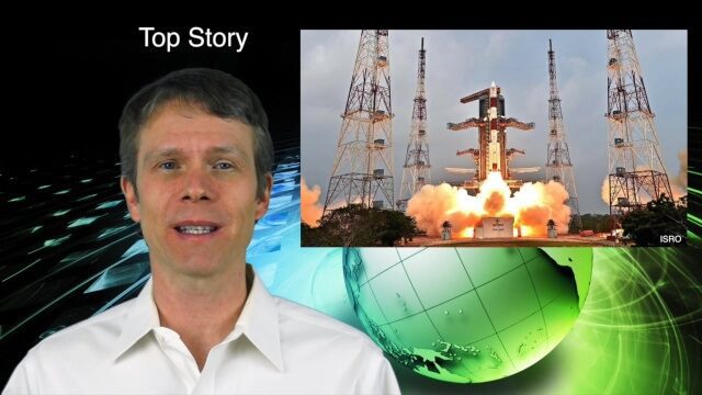
1_21 Asia Pacific Broadcast (GPS Alternatives, Nepal Landslides and More)
0 Views0 Comments0 Likes
This Asia-Pacific-themed GeoSpatial Stream broadcast discusses new alternatives to GPS, including the latest satellite launch for India's budding navigation system; an Australian tool for modeling wind dispersal; Indonesia mapping damaged peatlands; industry news from geoshepherds, Ordnance Survey and Esri Indonesia; a study indicating that landslides were less prevalent than expected after the 2015 Nepal earthquake; and more.

Arcadis Engineers Tackle Rising Seas and Drainage Systems
0 Views0 Comments0 Likes
The V1 Video team spoke with John Atkinson, Director, Hydrodynamic Modeling, Arcadis, at the company's office near Denver. The conversation covered Arcadis' Dutch heritage, engineering for rising sea levels, stormwater drainage, new models and data, and the company's commitment to open-source technology.

Arcadis CEO Discusses Company Growth and Client Diversity
0 Views0 Comments0 Likes
The V1 Video team spoke with John Jastrem, CEO, Arcadis, at the company's office near Denver. The conversation covered Arcadis' growth strategy, how it invests in people, client diversity and what it takes to be a "thought leader."
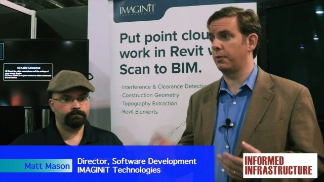
IMAGINiT Talks BIM and Lifecycle Management
0 Views0 Comments0 Likes
The V1 Video team was at Autodesk University 2015 in Las Vegas and interviewed Carl Storms, Senior Application Expert, and Matt Mason, Director of Software Development, both with IMAGINiT Technologies. They discussed BIM use throughout a project's lifecycle, the company's Clarity owner data portal and its benefits to users, and the latest updates for its Scan to BIM product for use with Revit.
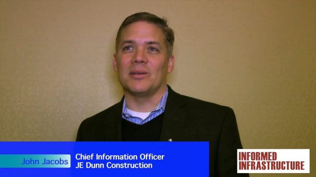
JE Dunn Construction Puts a Lens on Estimating
0 Views0 Comments0 Likes
The V1 Video team was at Autodesk University 2015 in Las Vegas and interviewed John Jacobs, Chief Information Officer, JE Dunn Construction. He discussed the company's "ground breaking" Lens software for project cost estimating, the company's partnership with Autodesk and its Large-Model Viewing, and the benefits of model-based estimating.
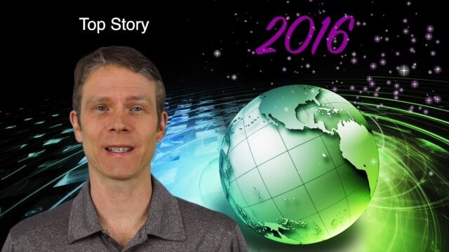
1_7 New Year Broadcast (Predictions for 2016, Weather Monitoring and More)
0 Views0 Comments0 Likes
This GeoSpatial Stream broadcast discusses the New Year and an article from Sensors & Systems making 10 predictions for 2016; NASA satellites tracking deadly weather in December 2015; ESA ice-sheet monitoring; industry news from Esri, USGS, VisionMap and Earth-i; thoughts on iconic images captured from space and their perspectives; and more.
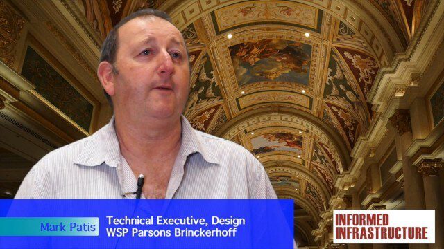
Australian Engineers Using BIM on Major Projects
0 Views0 Comments0 Likes
The V1 Video team was at Autodesk University 2015 in Las Vegas and interviewed Mark Patis, Technical Executive, Design, WSP Parsons Brinckerhoff. He discussed model-based design and how to gain project efficiencies, some major engineering projects in Australia, 3D modeling, and the power of visualization.
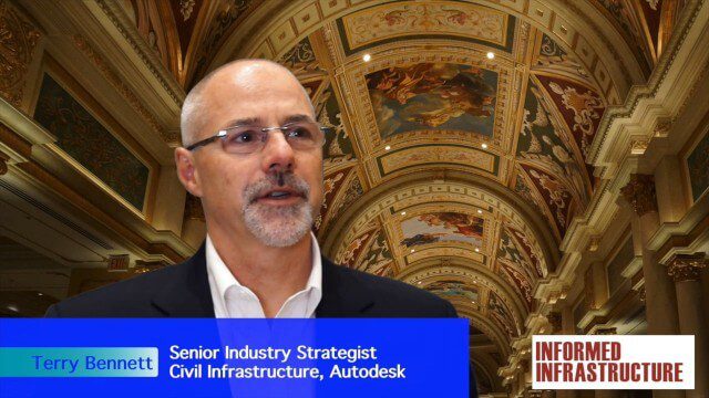
Autodesk Investing in the Future of Civil Infrastructure
0 Views0 Comments0 Likes
The V1 Video team was at Autodesk University 2015 in Las Vegas and interviewed Terry Bennett, Senior Industry Strategist, Civil Infrastructure, Autodesk. He discussed his role in analyzing future trends, what cities need to become truly "Smart Cities," the benefits of accurate 3D modeling, and getting specific about how projects "will impact me."


