
Monthly Archives: May 2020
40 Years of Watching Mount St. Helens
668 Views0 Comments0 Likes
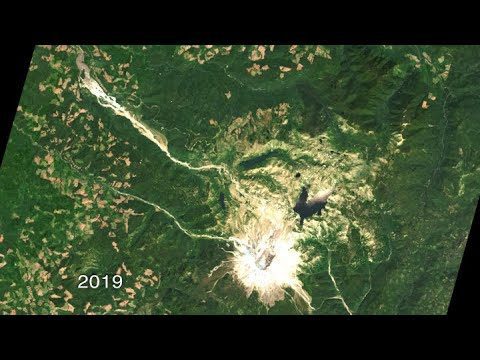
Both before and after the eruption, Landsat satellites were taking regular observations of the area, and their data is being used to study how forests recover from a very large disturbance.

Interview with Esri President Jack Dangermond
1.36K Views0 Comments0 Likes
In November 2019, Informed Infrastructure Editorial Director Todd Danielson interviewed Esri President Jack Dangermond at the Autodesk University (AU) Conference in Las Vegas.


