
Browse Archives
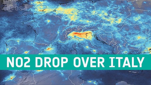
Coronavirus: Nitrogen Dioxide Emissions Drop over Italy
0 Views0 Comments0 Likes
New data from the Copernicus Sentinel-5P satellite reveal the decline of air pollution, specifically nitrogen dioxide emissions, over Italy. This reduction is particularly visible in northern Italy which coincides with its nationwide lockdown to prevent the spread of the coronavirus.
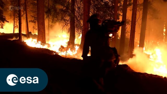
FIRE: An ESA documentary
0 Views0 Comments0 Likes
The summer fire season is well under way in Europe – countries all around the Mediterranean are experiencing record temperatures coupled with huge wildfires that have led to mass evacuations. In this enthralling new E...

5_12 Infrastructure Broadcast (Earthquakes, Streetcars and More)
0 Views0 Comments0 Likes
This Infrastructure-themed GeoSpatial Stream broadcast covers the devastating earthquake in Ecuador on April 16, 2016, and relief efforts from Miyamoto International to help rebuild the city's hard-hit infrastructure; a recently opened $100-million-dollar streetcar project in Kansas City; industry news from Trimble, Bentley Systems, Transoft Solutions and Autodesk; a video interview clip about Chicago's famed 150 N. Riverside Building; and more.
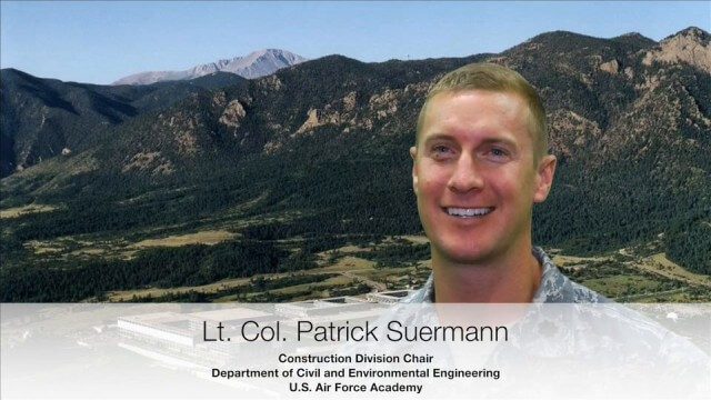
USAFA Reality Capture Showcase: Lt. Col. Patrick Suermann
0 Views0 Comments0 Likes
V1 Media was at the U.S. Air Force Academy (USAFA) Reality Capture Showcase at the Department of Civil and Environmental Engineering, interviewing Lt. Col. Patrick Suermann, Construction Division Chair.
White House Climate Data Initiative
0 Views0 Comments0 Likes

Launch of Trimble Ag Software
0 Views0 Comments0 Likes
Ben Allen, enterprise solutions lead for Trimble Agriculture, explains how Trimble’s new farm data management platform—Trimble Ag Software—simplifies management of data and helps farmers make informed, timely decisions.
Greg Bentley: Extending the Intelligent Model
0 Views0 Comments0 Likes
Informed Infrastructure spoke to Greg Bentley, CEO of Bentley Systems, at the company’s CONNECTION roadshow kickoff in Philadelphia. We spoke about the company’s announcements at the event as well as their continued extension of intelligent modeling to better-performing assets and projects.
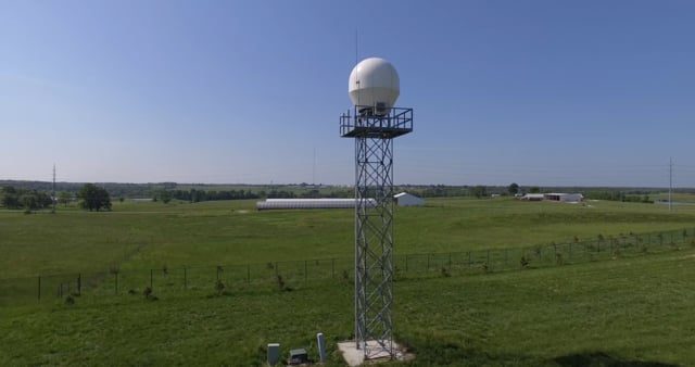
Radar Making Rainfall Forecasts More Accurate
0 Views0 Comments0 Likes
Researchers from the University of Missouri have developed a system that improves the precision of forecasts by accounting for evaporation in rainfall estimates, particularly for locations 30 miles or more from the nearest National Weather Service radar.

Conservation Planning in the Face of Climate Change
0 Views0 Comments0 Likes
The V1 Video team interviewed Sam Veloz, Climate Adaptation Group Director for Point Blue Conservation Science. He discussed several items related to monitoring the environment, including finding the proper scale, how the world and its sensing is changing, scenario planning, and his progress report for environmental monitoring and its successes and failures.
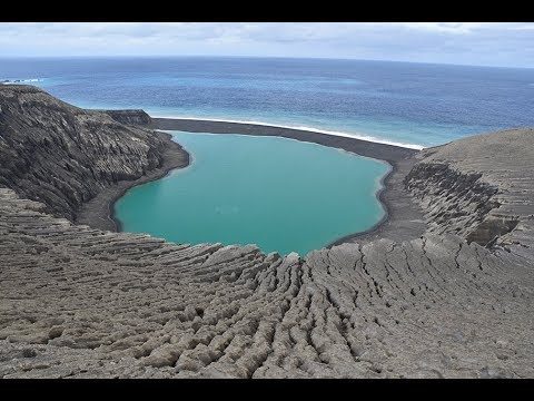
The Birth of a New Island
0 Views0 Comments0 Likes
The newly formed Tongan island, unofficially known as Hunga Tonga-Hunga Ha'apai after its neighbors, was initially projected to last a few months. Now it has a 6- to 30-year lease on life, according to a new NASA study.


