
Browse Archives

Kleinfelder Interview – Dick Wells, Transportation Market Manager
0 Views0 Comments0 Likes
Informed Infrastructure spoke with Dick Wells, transportation market manager and chair of the American Council of Engineering Companies at the opening of Kleinfelder’s new office in downtown Denver. The conversation touched on some of the major projects the company has underway, the rise of public-private partnerships, mission of the American Council of Engineering Companies with a view on the health of the infrastructure business, and working on leadership development.
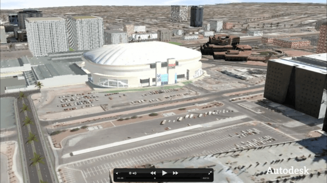
Autodesk VTN Consulting
0 Views0 Comments0 Likes
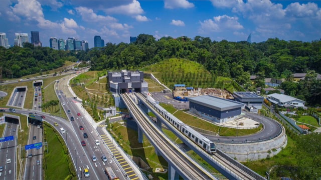
Is Asia Now the Center of Gravity for Infrastructure?
0 Views0 Comments0 Likes
Several members of the Bentley Systems team at the 2017 Year In Infrastructure event held Oct. 10-12, 2017, in Singapore, discuss whether Asia now is the center of gravity for infrastructure.
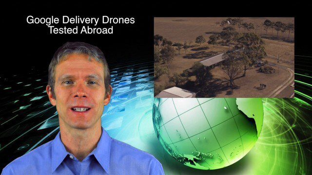
9_4 Earth Imaging Broadcast (Galileo Malfunction, Drones and More)
0 Views0 Comments0 Likes
This Earth imaging GeoSpatial Stream broadcast discusses the ESA's potentially lost Galileo navigation satellites; several instances of drones (or UAVs) making news worldwide, including from Google and Amazon; industry news from DigitalGlobe, BlackBridge and MDA, SimActive, and KEYW Corp.; URISA's GIS-Pro conference in New Orleans; subscription information; and more.
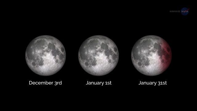
ScienceCasts: A Supermoon Trilogy
0 Views0 Comments0 Likes
A series of three supermoons will appear on the celestial stage on Dec. 3, 2017, Jan. 1, 2018, and Jan. 31, 2018.
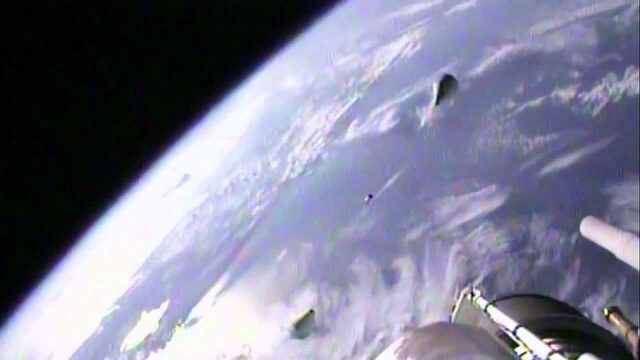
Atlas V SBIRS GEO-2 Launch Highlights
0 Views0 Comments0 Likes

6_12 HxGN LIVE Broadcast (Conference Recap, NASA News and More)
0 Views0 Comments0 Likes
This GeoSpatial Stream broadcast includes a recap of the recent HxGN LIVE conference in Las Vegas, and discusses NASA's upcoming carbon dioxide satellite; a deadly and massive Colorado mudslide; industry news from Skybox Imaging and Google, Sokkia, and Esri; Google's Tango Project; and more.
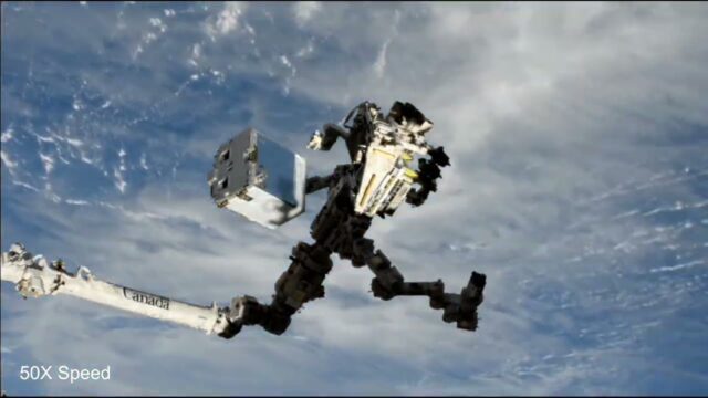
EMIT (Earth Surface Mineral Dust Source Investigation) Gets Installed on International Space Station
0 Views0 Comments0 Likes
This time-lapse video shows the Candarm2 robotic arm of the International Space Station maneuvering NASA’s EMIT mission onto the exterior of the station. Extraction from the SpaceX Dragon spacecraft began around 5:15 ...
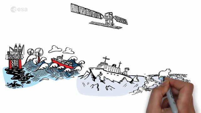
Satellite Radar Vision Whiteboard
0 Views0 Comments0 Likes
Discover how the European Space Agency Sentinel-1 mission uses its radar to provide an all-weather, day-and-night supply of imagery of Earth’s surface to make our lives safer.

NASA Langley Celebrates 100 Years
0 Views0 Comments0 Likes
Something happened 100 years ago that changed forever the way we fly, the way we explore space and how we study our home planet. That something was the establishment of what is now NASA’s Langley Research Center in Hampton, Virginia, which commemorated its 100th anniversary on July 17, 2017.


