


Category: Commercial UAV Expo

Harnessing Machine Learning to Make Sense of the Physical World
3.00K Views0 Comments0 Likes
The V1 Video team spoke to Stuart Feffer, co-founder and CEO of Reality Analytics about the company’s application of artificial intelligence and machine learning to sensor inputs. The company has a background in research and development for military customers and they’re now rolling out products and services based on that legacy.

Automating UAS Data Processing to Understand Change
2.33K Views0 Comments0 Likes
The V1 Video team spoke to Kevin Jones, the director of marketing for PCI Geomatics, about the company’s software to extract information from imagery. The commercial UAS market is a promising input to their image-processing tools, particularly with their automated information-extraction tools, to detect changes.
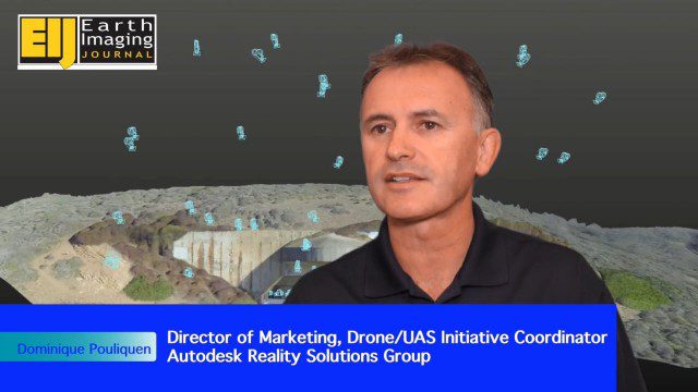
Autodesk Enabling Automated UAV Data Processing in the Cloud
2.09K Views0 Comments0 Likes
The V1 Video team spoke to Dominique Pouliquen, director of marketing and Drone/UAS Initiative Coordinator for Autodesk’s Reality Systems Group, about his group’s focus on bridging sensor inputs with the company’s extensive line of design and engineering software. They are breaking down the barrier for UAV users to process and create products that are aligned to specific applications such as construction monitoring, mining and cultural heritage.

Adapting Thermal Sensors for the Small-UAS Market
2.50K Views0 Comments0 Likes
The V1 Video team spoke to Bruce Cumming, marketing director for emerging products at FLIR Systems, about the company’s legacy of thermal infrared imaging and its use on unmanned aircraft systems. Thermography has been used in commercial workflows for building inspection, oil and gas, electric utilities, solar energy, and more. The flexibility of UAS aerial platforms has the potential to greatly expand accessibility to thermographic insight.
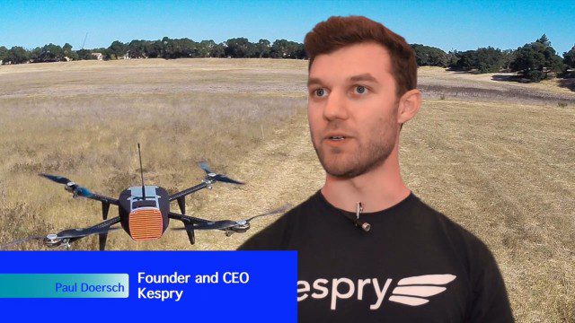
Building Drones for Construction, Surveying and Mining Applications
2.54K Views0 Comments0 Likes
The V1 Video team spoke to Paul Doersch, founder and CEO of Kespry. We talked about his company’s workflows specific to automating the collection of aerial survey information, including the measurement of aggregate stockpiles and mining resources.
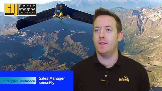
Getting Accurate Results Quickly and Cheaply with Unmanned Aircraft
2.44K Views0 Comments0 Likes
The V1 Video team spoke to Christopher Thompson, the sales manager for senseFly, the manufacturers of fixed-wing and rotary unmanned aircraft systems (UASs) for mapping. We talked about the broad range of applications and some interesting case studies. We also touched on the inspection capabilities of their new eXom rotary platform.

Trimble Expands UAS Fleet with Multirotor and High-Precision Systems
2.54K Views0 Comments0 Likes
The V1 Video team spoke to Todd Steiner, product marketing director for Trimble’s geospatial imaging and optics products (including UAVs). We talked about the new Trimble ZX5 multirotor system, which is complementary to the fixed-wing UAVs. Their new Trimble UX5-HP introduces a high-precision RTK system with reduced need for ground control.

PrecisionHawk Making a Marketplace for UAS Data Management and Analysis
2.12K Views0 Comments0 Likes
The V1 Video team spoke with Thomas Haun, vice president of strategy and globalization at PrecisionHawk, at the recent Commercial UAV Expo. PrecisionHawk has developed a fixed-wing UAS as well as an online data management and analysis platform to help data collectors provide insight. We talked about the agriculture market, the flexibility of using different sensor payloads and acting on information.
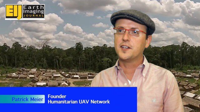
Using Drones to Provide Insight for Disaster Recovery
2.23K Views0 Comments0 Likes
The V1 Video team spoke to Patrick Meier at the Commercial UAV Expo. Meier is a thought leader on humanitarian technology and innovation as well as founder of the Humanitarian UAV Network (UAViators), which has worked in the Philippines to help in the recovery of Cyclone Pam and in Nepal for response to the recent earthquake. We talked about the growing utility of UAVs as well as the use of automation and crowdsourcing to reduce the time and burden of analysis.


