
Monthly Archives: September 2015
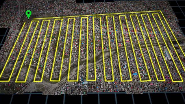
UAV-Based Aerial Mapping of Ulaanbaatar
1.81K Views0 Comments0 Likes
Working with the City of Ulaanbaatar, The Asia Foundation collected high-quality imagery and elevation data for the city using Unmanned Aerial Vehicles (UAVs) and earth-imaging satellites. These high-resolution images were used to create detailed maps complete with elevation data; labeled neighborhoods, roads, buildings, landmarks, and other features.
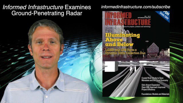
9_24 Infrastructure Broadcast (Federal Initiatives, Ground-Penetrating Radar and More)
12.57K Views0 Comments0 Likes
This Infrastructure-themed GeoSpatial Stream broadcast discusses U.S. federal government action to accelerate infrastructure projects; ground-penetrating radar featured in Informed Infrastructure magazine; industry news from Autodesk, Topcon Positioning Group, Esri, 3D Laser Mapping and RIEGL; a video showing how UAVs are being used to map Mongolian infrastructure; and more.
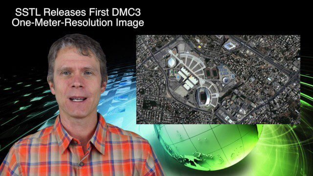
9_17 Europe Broadcast (INTERGEO, Market Reports and More)
2.93K Views0 Comments0 Likes
This European-themed GeoSpatial Stream broadcast discusses the INTERGEO conference in Stuttgart, Germany; a market report on the European Earth-observation industry; EU flood-disaster simulations using UAS technology; an OGC smart city pilot project; industry news from Surrey Satellite Technology, Euroconsult, PCI Geomatics, Applanix and Intergraph; and more.

Charting the Intersection of Remote Sensing, GIS and Data Science
2.57K Views0 Comments0 Likes
The V1 Video team interviewed Stuart Blundell, director of business development and strategy for Harris Geospatial Solutions, at the company’s ENVI Analytics Symposium in Boulder, Colo. The interview touched on the company’s analytical toolset, the need and opportunity to grow the market for advanced analytics, and the extension of their toolset to the cloud.
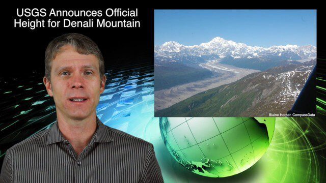
9_3 Environment Broadcast (Ocean Monitoring, Habitat Protection, Denali and More)
3.56K Views0 Comments0 Likes
This GeoSpatial Stream broadcast discusses ocean monitoring by the European Commission's NeXOS project; ocean-habitat monitoring off of Costa Rica, with the help of DigitalGlobe satellite imagery; a new official height for Denali Mountain; industry news from Trimble, Spatial Dimension, TerraGo, Esri, FlightAware and SimActive; a video from the EPA; and more.
ASPECT: Flying for First Responders
2.15K Views0 Comments0 Likes
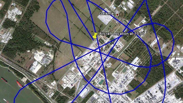
EPA's Airborne Spectral Photometric Environmental Collection Technology (ASPECT) provides infrared and photographic images with geospatial, chemical and radiological information within minutes to the first responder.
Geospatial as an Integral Part of Information Management
2.53K Views0 Comments0 Likes
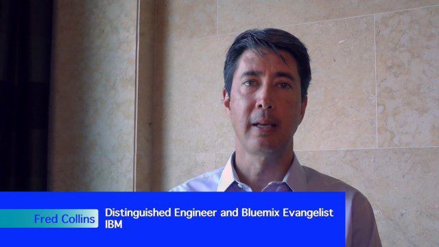
The V1 Video team interviewed Fred C. Collins, Ph.D., Distinguished Engineer and Bluemix Evangelist at IBM, at the ENVI Analytics Symposium in Boulder, Colo. Bluemix is the company’s platform-as-a-service that supports geospatial as a key component of the architecture. We spoke about the growing awareness and reliance on geospatial capabilities for data management and analysis, and the flexibility of the Bluemix cloud-based tools that can be extended with hundreds of services.


