
Browse Archives
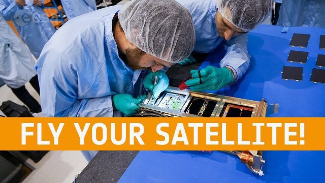
Fly Your Satellite!
0 Views0 Comments0 Likes
Fly Your Satellite! is an educational program for university students, created by ESA after the launch of seven university CubeSats on the 2012 Vega maiden flight.
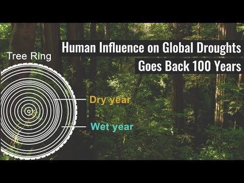
Human Influence on Global Droughts Goes Back 100 Years
0 Views0 Comments0 Likes
Human-generated greenhouse gases and atmospheric particles were affecting global drought risk as far back as the early 20th century, according to a study from NASA's Goddard Institute for Space Studies (GISS) in New York City.
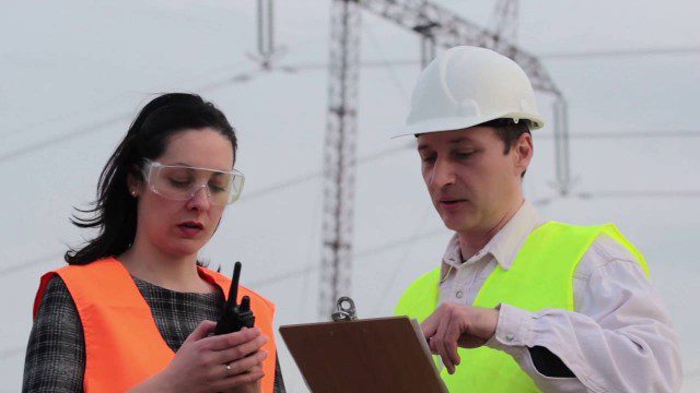
Commercial Drones Give A Bird’s Eye View for Inspections
0 Views0 Comments0 Likes
Commercial drones from Aerialtronics take flight with Watson IoT and cognitive visual recognition capabilities. Together, IBM Watson IoT and Aerialtronics can help companies open up expansive possibilities to gain insight in places not easily accessible to humans from monitoring city traffic patterns to inspecting wind turbines, oil rigs and cell tower optimization.
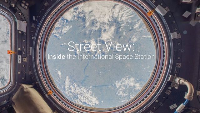
Inside the International Space Station with Google Street View
0 Views0 Comments0 Likes
The International Space Station is a marvel of modern science and engineering. Astronauts have occupied the pressurized modules for over 16 years, and now you can explore their work and living spaces in Google Street View. From the research, to the "orbital outhouse" to the inspirational views back down to Earth from the cupola, take a look at the images here: google.com/streetview
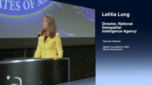
Letitia Long (Director, NGA) Keynote at 30th Space Symposium
0 Views0 Comments0 Likes
Letitia A. Long, Director of the National Geospatial-Intelligence Agency (NGA), delivered an important and powerful keynote address at the 30th Space Symposium in Colorado Springs, Colo., on May 20, 2014. Topics include the future of space programs and the space industry, their roles in intelligence, the changing nature of worldwide threats, and how space-based platforms can help predict new challenges.

Jack Dangermond Discusses Large Enterprise Adoption of GIS and the Role of Apps (2 of 4)
0 Views0 Comments0 Likes
In the second of four installments, Todd Danielson interviews Jack Dangermond, President and Founder, Esri, at the 2014 Esri User Conference in San Diego. Jack notes how large enterprises are increasingly using GIS, such as Starbucks, Walgreens and the Port of Rotterdam, among others. He also discusses the growing geographical user interface and the role of apps in the marketplace.
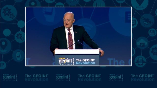
GEOINT Keynote: James R. Clapper, Director of National Intelligence
0 Views0 Comments0 Likes
The U.S. Geospatial Intelligence Foundation (USGIF) recorded the keynote speech of James Clapper, director of National Intelligence, at the 2016 GEOINT Symposium on May 16, 2016, in Orlando, Fla.
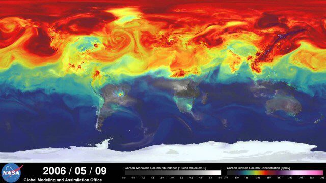
A Year in the Life of Earth’s CO2
0 Views0 Comments0 Likes
An ultra-high-resolution NASA computer model has given scientists a stunning new look at how carbon dioxide in the atmosphere travels around the globe.
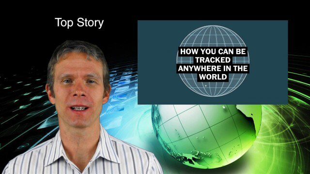
9_10 Location Surveillance Broadcast (Phone Tracking, Global Road Map and More)
0 Views0 Comments0 Likes
This GeoSpatial Stream broadcast discusses location surveillance and how portals are providing cellphone locations as a paid service; the Global Road Map and its quest to limit environmental impact; Canada's investment in a global survey of surface water; NATO's Joint Intelligence, Surveillance and Reconnaissance capability; industry news from Esri, Ocean Optics and PCI Geomatics; opinions on location surveillance; and more.

3_26 Climate Broadcast (Melting Ice, Deadly Air Pollution, Food Maps and More)
0 Views0 Comments0 Likes
This GeoSpatial Stream broadcast discusses the world's melting ice and rising seas, a WHO report stating that air pollution kills one in eight worldwide, "Cash for Clunker Maps," Food Maps, a GIS rap, and more.


