
Browse Archives

Smart Mapping from Esri
0 Views0 Comments0 Likes
Smart Mapping is an exciting new capability in ArcGIS Online that will change how you make maps.

Cool Ways of Studying the Cryosphere
0 Views0 Comments0 Likes
NASA missions are helping scientists study the cryosphere: the many forms of ice found on Earth.
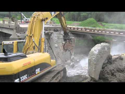
Transportation Asset Management
0 Views0 Comments0 Likes
Asset management is a strategic and systematic approach for managing transportation assets over their whole life. Asset management helps ensure that available funding addresses our highest priorities.

Commercial UAV Expo Video
0 Views0 Comments0 Likes
This video promotes the upcoming Commercial UAV Expo being held in Las Vegas in October 2015.
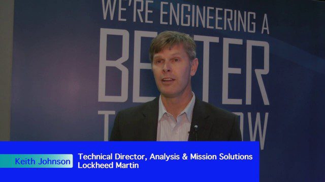
Fusing Data through Automation to Provide Insight
0 Views0 Comments0 Likes
The V1 Video team interviewed Keith Johnson, technical director for Analysis & Mission Solutions at Lockheed Martin, at the GEOINT Symposium in Washington, D.C. We spoke about making sense of imagery; wide-area full-motion video; and textual, social, civil, signals and cyber inputs for decision makers. Lockheed Martin is focused on automation to deliver the right type of data to the analyst as well as providing next-generation sensors with on-board processing that complement other expanding sensors.

Earth from Space: Easter Island
0 Views0 Comments0 Likes
In this week's edition of the Earth from Space programme, Copernicus Sentinel-2 takes us over one of the most remote islands in the world: Easter Island.

Why Attend Bentley Systems YII 2016
0 Views0 Comments0 Likes
This video from Bentley Systems shows highlights of the 2015 event and what attendees can expect if they convene in London in 2016.
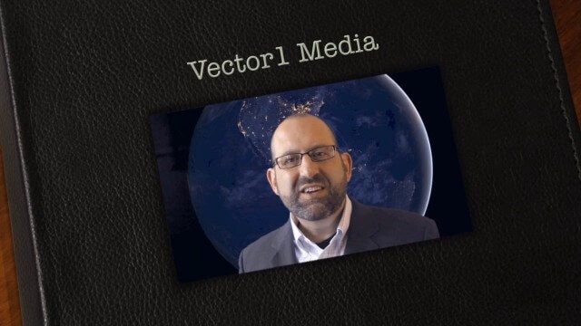
Vector1 Media Focuses on the Future with B2B Veterans and a Multimedia Roadmap
0 Views0 Comments0 Likes
Vector1 Media LLC welcomes new members Kevin Carmody and Patrick Krill, makes investments in our online platforms, including an AIA accredited continuing-education site that is coming soon, and extends the reach of multimedia throughout our different channels.
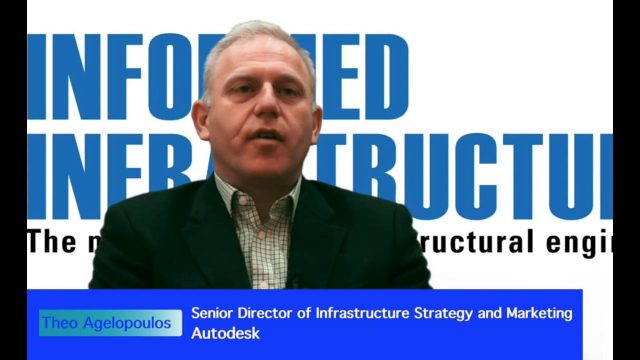
Interview with Theo Agelopoulos, Autodesk
0 Views0 Comments0 Likes
In November 2019, Informed Infrastructure Editorial Director Todd Danielson interviewed Theo Agelopoulos, the senior director of Infrastructure Strategy and Marketing at Autodesk, at the Autodesk University (AU) Confe...

RIEGL Creating 3D Data for Improved Disaster Response
0 Views0 Comments0 Likes
The V1 Video team interviewed James Van Rens, CEO of RIEGL USA, at the 2015 Esri User Conference in San Diego. We spoke at the 3D Mapping Forum, focusing on the need to map the shoreline for improved disaster response. The company also showcased its new RiCOPTER mapping drone.


