
Browse Archives
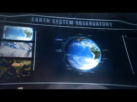
A New Era of Earth Science (NASA Trailer)
0 Views0 Comments0 Likes
For more than 50 years, NASA has been collecting and providing data about Earth’s land, water, ice and atmosphere. Now, a new era of Earth Science has begun. NASA will launch a fleet of state-of-the-art satellites for...

60 Years Since Sputnik
0 Views0 Comments0 Likes
Sixty years ago, Sputnik became the first satellite in space and changed the world forever. Launched by the Soviet Union on Oct. 4, 1957, this shiny orb kick-started the space race, and opened up the heavens for mankind to explore.
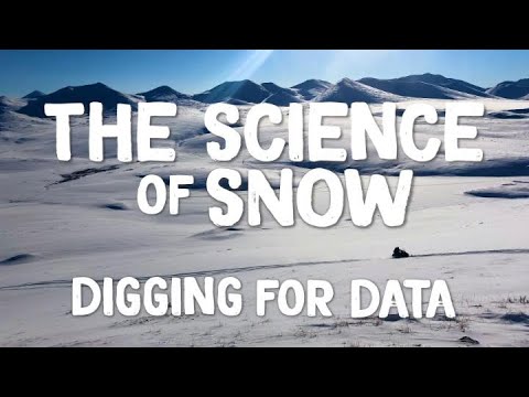
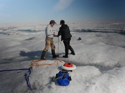
The Science of Snow: Digging for Data
0 Views0 Comments0 Likes
It takes a lot of field work in challenging conditions to gather important snow data. This is the story of NASA’s last SnowEx campaign and those who participated in it. In March, scientists traveled to research sites ...
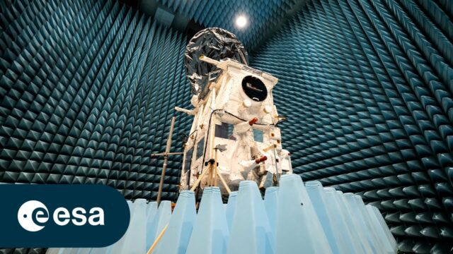
Meet the Team Behind EarthCARE
0 Views0 Comments0 Likes
As we approach the launch of ESA’s EarthCARE mission, we caught up with some of the scientists, engineers and experts behind the mission. With the climate crisis increasingly tightening its grip, ESA’s Earth Cloud Aer...

2015 Audubon Medal Awardees: Jack and Laura Dangermond
0 Views0 Comments0 Likes
Jack and Laura Dangermond launched Environmental Systems Research Institute (Esri) in 1969 with a vision of how maps and geographic sciences could promote deeper understanding of our world and enable us to design a better future. The Dangermonds have since donated more than a billion dollars in geo-spatial, analytical, and visualization technology to research institutions, schools, and nonprofit organizations, equipping these groups with the same GIS tools that drive the strategies of Fortune 500 companies.
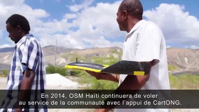
Drone Mapping Haiti (French)
0 Views0 Comments0 Likes

3_19 Infrastructure Broadcast (NYC Gas Explosion, Canada vs. U.S. Infrastructure and More)
0 Views0 Comments0 Likes
This infrastructure-focused GeoSpatial Stream broadcast discusses the gas-leak explosion in New York City; the state of the U.S. infrastructure; Canadian investment; announcements from the Smart Grid Innovation Hub, Bentley Systems, Esri, Oracle and Topcon Positioning Group; and more.

INTERGEO Conference Integrates Geoinformation with Modern Infrastructure
0 Views0 Comments0 Likes
This year’s conference at the 20th INTERGEO will be taking a close look at crucial social and political topics set within the framework of increasing global digitization. A whole series of events and forums will offer in-depth discussions on shaping and developing our living environment.
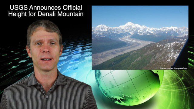
9_3 Environment Broadcast (Ocean Monitoring, Habitat Protection, Denali and More)
0 Views0 Comments0 Likes
This GeoSpatial Stream broadcast discusses ocean monitoring by the European Commission's NeXOS project; ocean-habitat monitoring off of Costa Rica, with the help of DigitalGlobe satellite imagery; a new official height for Denali Mountain; industry news from Trimble, Spatial Dimension, TerraGo, Esri, FlightAware and SimActive; a video from the EPA; and more.
Field Study Sheds New Light on Melt Zone
0 Views0 Comments0 Likes
Five years after a NASA-funded field study returned to to set up camp once again in the melt zone of the Greenland Ice Sheet, a new study adds to the rich findings from this innovative project.


