
Monthly Archives: October 2015

Adapting Thermal Sensors for the Small-UAS Market
2.50K Views0 Comments0 Likes
The V1 Video team spoke to Bruce Cumming, marketing director for emerging products at FLIR Systems, about the company’s legacy of thermal infrared imaging and its use on unmanned aircraft systems. Thermography has been used in commercial workflows for building inspection, oil and gas, electric utilities, solar energy, and more. The flexibility of UAS aerial platforms has the potential to greatly expand accessibility to thermographic insight.
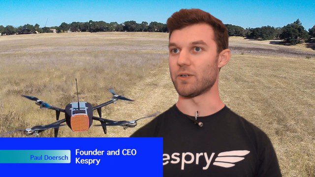
Building Drones for Construction, Surveying and Mining Applications
2.54K Views0 Comments0 Likes
The V1 Video team spoke to Paul Doersch, founder and CEO of Kespry. We talked about his company’s workflows specific to automating the collection of aerial survey information, including the measurement of aggregate stockpiles and mining resources.
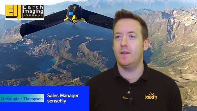
Getting Accurate Results Quickly and Cheaply with Unmanned Aircraft
2.44K Views0 Comments0 Likes
The V1 Video team spoke to Christopher Thompson, the sales manager for senseFly, the manufacturers of fixed-wing and rotary unmanned aircraft systems (UASs) for mapping. We talked about the broad range of applications and some interesting case studies. We also touched on the inspection capabilities of their new eXom rotary platform.
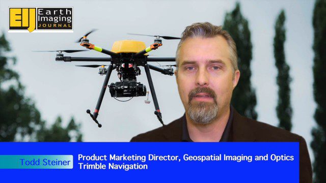
Trimble Expands UAS Fleet with Multirotor and High-Precision Systems
2.54K Views0 Comments0 Likes
The V1 Video team spoke to Todd Steiner, product marketing director for Trimble’s geospatial imaging and optics products (including UAVs). We talked about the new Trimble ZX5 multirotor system, which is complementary to the fixed-wing UAVs. Their new Trimble UX5-HP introduces a high-precision RTK system with reduced need for ground control.
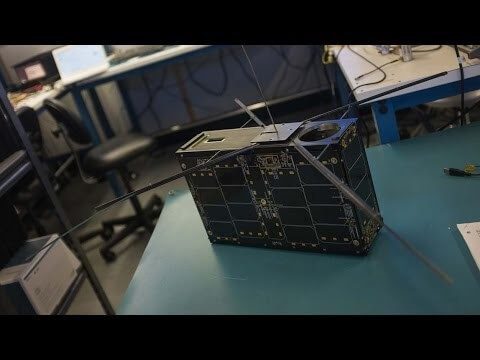
Can the Next Generation of Satellites Help Predict and Battle Wildfires?
1.82K Views0 Comments0 Likes
Re/code visits NASA's Silicon Valley research center, where a pair of startups are working together to democratize satellite data. Aquila Space is building a fleet of satellites while its partner Astro Digital is developing software tools that allow anyone to process and analyze the data. Among other things, the information could be used to help inform policy and responses for ecological disasters, including the droughts and wildfires plaguing California.

10_15 Earth Imaging Broadcast (Hurricanes, Wildfire Mapping and More)
7.27K Views0 Comments0 Likes
This Earth Imaging-themed GeoSpatial Stream broadcast discusses satellite imagery used to track and understand hurricanes, including the Atlantic's Joaquin and the Pacific's triplet hurricanes of Kilo, Ignacio and Jimena; remote sensing used to map and characterize capuchin monkey habitat; a Re/Code video news story about smallsats helping with wildfires; industry news from MDA, Blue Water Satellite, NASA and Esri; clips from a V1 Media video interview of Patrick Meier, founder of the Humanitarian UAV Network; and more.
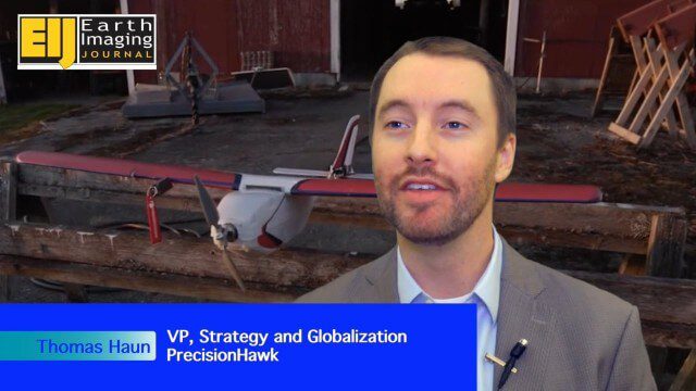
PrecisionHawk Making a Marketplace for UAS Data Management and Analysis
2.12K Views0 Comments0 Likes
The V1 Video team spoke with Thomas Haun, vice president of strategy and globalization at PrecisionHawk, at the recent Commercial UAV Expo. PrecisionHawk has developed a fixed-wing UAS as well as an online data management and analysis platform to help data collectors provide insight. We talked about the agriculture market, the flexibility of using different sensor payloads and acting on information.
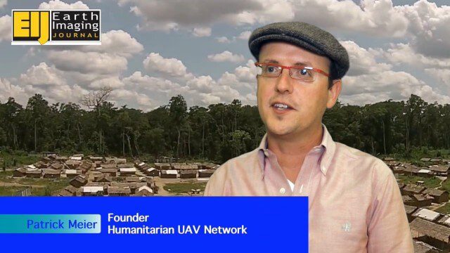
Using Drones to Provide Insight for Disaster Recovery
2.23K Views0 Comments0 Likes
The V1 Video team spoke to Patrick Meier at the Commercial UAV Expo. Meier is a thought leader on humanitarian technology and innovation as well as founder of the Humanitarian UAV Network (UAViators), which has worked in the Philippines to help in the recovery of Cyclone Pam and in Nepal for response to the recent earthquake. We talked about the growing utility of UAVs as well as the use of automation and crowdsourcing to reduce the time and burden of analysis.

Story of Hysteria, Ushahidi Chapter on Semarang
1.80K Views0 Comments0 Likes
How an artist collective in Semarang, Indonesia is using Ushahidi to improve citizen participation in government and reshaping our mission.
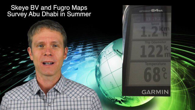
10_8 Asia Pacific Broadcast (New Satellites and Rockets, Mumbai Mapping and More)
3.16K Views0 Comments0 Likes
This Asia Pacific-themed GeoSpatial Stream broadcast covers several new satellites and rockets launched from Asia, including China's Pujian-1 and 20th Beidou satellites, a new Chinese Long March-6 rocket, imagery from China's TripleSat Constellation, and the Indian Space Research Organization launching another PSLV rocket carrying ASTRONAUT and six foreign satellites; Mumbai students mapping the Mithi River; Japanese scientists using laser scanning to study ancient tombs; industry news from Esri, Miyamoto International, Intergraph, Skeye BV and Fugro Maps; clips from a video about Ushahidi mapping in Semarang, Indonesia; and more.


