
Browse Archives

3_31 Remote-Sensing Broadcast (Melting Ice, Deadly Air Pollution, Food Maps and More)
0 Views0 Comments0 Likes
This GeoSpatial Stream broadcast discusses the devastating flooding throughout Europe and how satellites are helping; the 2015 NOAA satellite budget; a new NASA imager for global precipitation; commercial remote-sensing distributors; Airbus Defense and Space and its involvement with Sentinel-5; satellites observing the formation of black holes; and more.
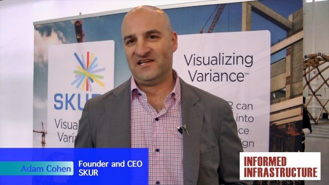
SKUR Helps Engineers Visualize Variance
0 Views0 Comments0 Likes
The V1 Video team interviewed Adam Cohen, Founder and CEO of SKUR, at the REAL 2016 event in San Francisco. He discussed what SKUR does and how it can help engineers visualize variance, what DIFF means and its importance, and key utilizations of SKUR technology.
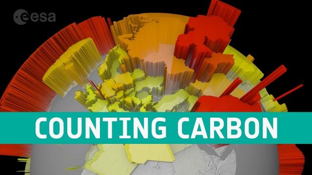
Counting Carbon
0 Views0 Comments0 Likes
As well as tracking atmospheric carbon, ESA’s Climate Change Initiative is using satellite observations to track other carbon stocks on land and sea.

5_22 Remote-Sensing Broadcast (Space Symposium, WorldView-3 and More)
0 Views0 Comments0 Likes
This GeoSpatial Stream broadcast covers a variety of remote-sensing topics, such as the recent Space Symposium in Colorado; a preview of DigitalGlobe's WorldView-3 satellite; a special report on micro-satellites; industry news from Airbus Defence and Space, BAE Systems, Teledyne, and NASA; and more.
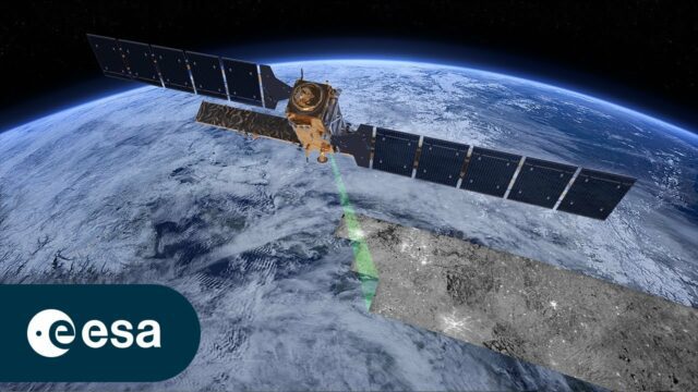
Copernicus Sentinel-1: Radar Vision for Copernicus
0 Views0 Comments0 Likes
Meet Copernicus Sentinel-1. This ground-breaking mission delivers continuous, all-weather, day-and-night imaging for land, ice and maritime monitoring. Equipped with state-of-the-art C-band synthetic aperture radar...
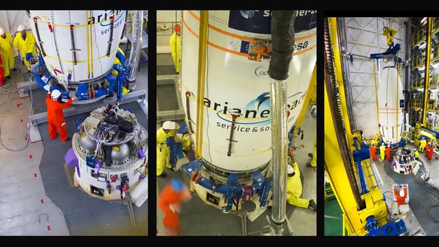
Sentinel-2B Prepared for Liftoff
0 Views0 Comments0 Likes
This timelapse video shows Sentinel-2B satellite, from final preparations to liftoff on a Vega launcher, flight VV09, from Europe’s Spaceport in French Guiana, on 7 March 2017.
2017 Drone Data Race
0 Views0 Comments0 Likes
On April 22, 2017, the Aerial and Aquatic Robot Research group (AARR) of the California State University Channel Islands hosted the first Drone Data Race in Camarillo, CA.

Arcadis CEO Discusses Company Growth and Client Diversity
0 Views0 Comments0 Likes
The V1 Video team spoke with John Jastrem, CEO, Arcadis, at the company's office near Denver. The conversation covered Arcadis' growth strategy, how it invests in people, client diversity and what it takes to be a "thought leader."
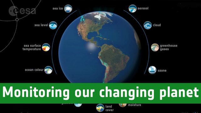
Monitoring Our Changing Planet
0 Views0 Comments0 Likes
Through ESA’s Climate Change Initiative, long-term datasets on key indicators of climate change are being systematically generated and preserved.
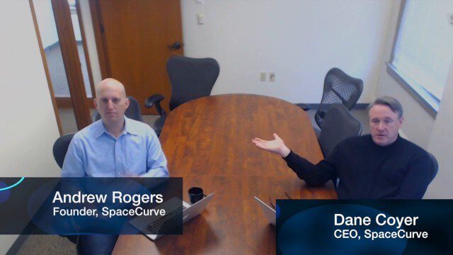
SpaceCurve Introduces Spatial at the Speed of Reality
0 Views0 Comments0 Likes
GeoSpatial Stream's Todd Danielson conducted an Internet Interview with SpaceCurve's CEO Dane Coyer and Founder Andrew Rogers. They spoke about the company's inception, Big Data, spatial indexing and business applications as well as how SpaceCurve created new technologies to integrate these varied components.


