
Browse Archives
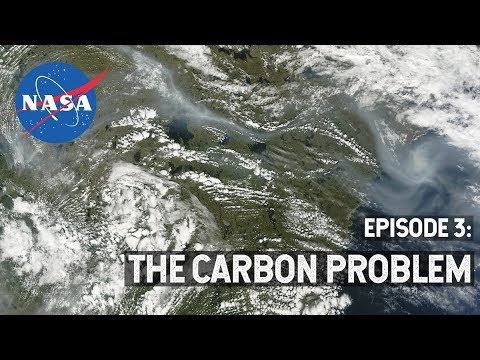
NASA Explorers S3 E3: The Carbon Problem
0 Views0 Comments0 Likes
In the Arctic, fires are a natural part of the ecosystem. But as the climate changes, fires are burning longer and hotter, releasing long-buried carbon from the soil.
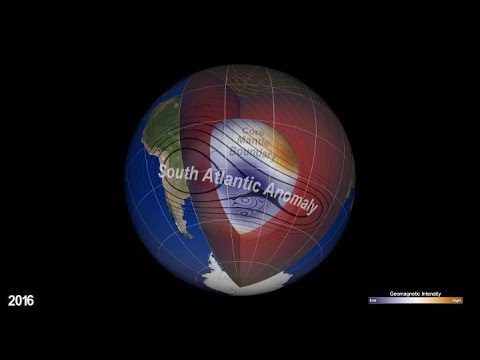
NASA Explores Earth’s Magnetic ‘Dent’
0 Views0 Comments0 Likes
Earth’s magnetic field acts like a protective shield around the planet, repelling and trapping charged particles from the Sun. But over South America and the southern Atlantic Ocean, an unusually weak spot in the field – called the South Atlantic Anomaly, or SAA – allows these particles to dip closer to the surface than normal.
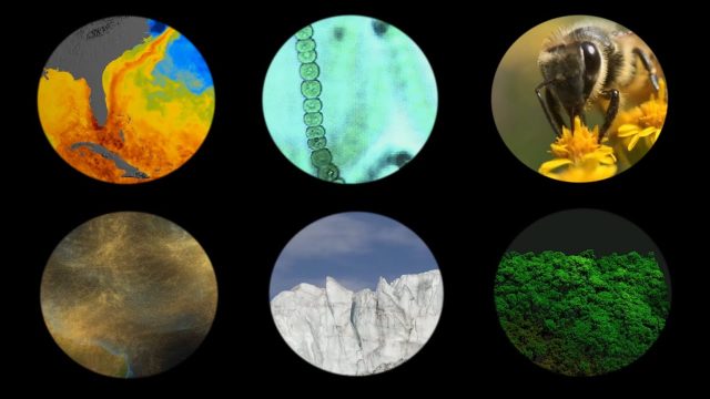
NASA Explores Earth’s Connections
0 Views0 Comments0 Likes
NASA explores the connections of Earth systems and its ability to observe them in a changing world, highlighting the links between dust transport, vegetation, water quality, conservation and human health, the cryosphere, and disasters.
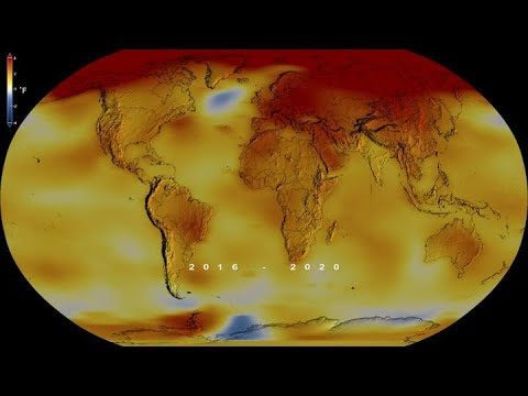
NASA Finds 2020 Tied for Hottest Year on Record
0 Views0 Comments0 Likes
Globally, 2020 was the hottest year on record, effectively tying 2016, the previous record.
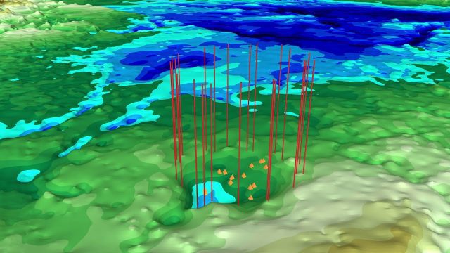
NASA Finds Second Massive Greenland Crater
0 Views0 Comments0 Likes
A NASA-led team discovered the feature using satellite data of the surface of the Greenland Ice Sheet as well as radar measurements from the airborne campaign Operation IceBridge.
NASA Follows Changing Freshwater from Space
0 Views0 Comments0 Likes
The first question NASA researchers studying freshwater on Earth ask is: Where is the water?

NASA Helps Warn of Harmful Algal Blooms
0 Views0 Comments0 Likes
With limited resources to dedicate to monitoring for harmful algal blooms, water managers are looking to new technologies from NASA and its partners to detect and monitor potential hazards in lakes and reservoirs.

NASA Intro to LIDAR
0 Views0 Comments0 Likes
Want to know the 3D shape of terrain on another planet? Want to study the height and density of Earth's forests? An amazing tool called LIDAR can help! Learn more in this video.

NASA Langley Celebrates 100 Years
0 Views0 Comments0 Likes
Something happened 100 years ago that changed forever the way we fly, the way we explore space and how we study our home planet. That something was the establishment of what is now NASA’s Langley Research Center in Hampton, Virginia, which commemorated its 100th anniversary on July 17, 2017.
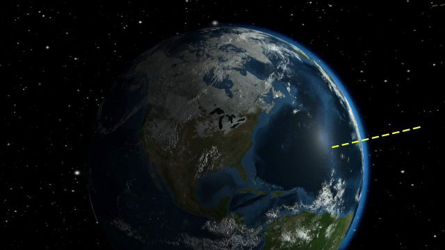
NASA Looks to Solar Eclipse to Help Understand Earth’s Energy System
0 Views0 Comments0 Likes
During the August 21, 2017 total solar eclipse, scientists will use the Earth Polychromatic Imaging Camera (EPIC) on the Deep Space Climate Observatory satellite (DSCOVR), along with measurements taken from within the moon's shadow on the ground, to test a new model of Earth's energy budget.


