
Browse Archives
The Geocenter of the Earth Is Changing (And Why That Matters)
0 Views0 Comments0 Likes
At the foundation of virtually all airborne, space-based and ground-based Earth observations is the TRF, or Terrestrial Reference Frame.

ReROLL Game Using Geotech
0 Views0 Comments0 Likes

A Colorful ‘Landing’ on Pluto
0 Views0 Comments0 Likes
What would it be like to actually land on Pluto? This movie was made from more than 100 images taken by NASA’s New Horizons spacecraft over six weeks of approach and close flyby in the summer of 2015.
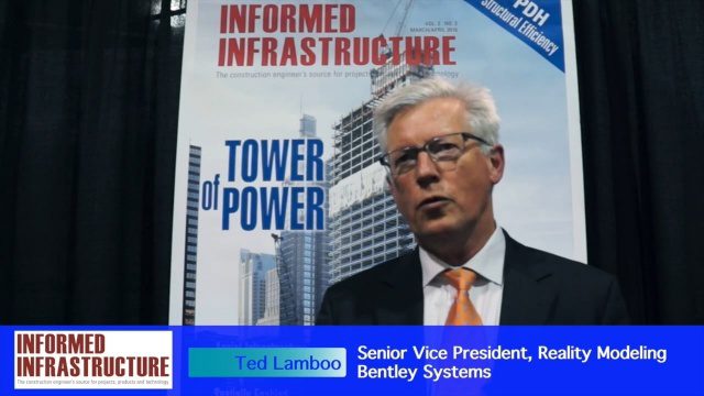
Working from Reality Capture to Modeling to Consumption
0 Views0 Comments0 Likes
The V1 Video team interviewed Ted Lamboo, Senior Vice President of Reality Modeling for Bentley Systems, at the 2016 SPAR 3D Expo and Conference, held April 11-14 in The Woodlands, Texas. He discusses reality modeling and the full cycle from capture to modeling to consumption, Bentley products used in that cycle such as ContextCapture, and examples of such use in highway design and substation modeling.
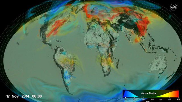
Following Carbon Dioxide Through the Atmosphere
0 Views0 Comments0 Likes
Using observations from NASA's Orbiting Carbon Observatory (OCO-2) satellite, scientists developed a model of the behavior of carbon in the atmosphere.
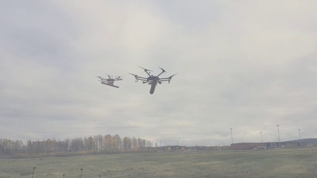
Drone With Ground Penetrating Radar (GPR)
0 Views0 Comments0 Likes
SPH Engineering and Radarteam Sweden AB completed combined tests of a drone equipped with ground-penetrating radar (GPR).
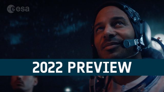
European Space Agency (ESA) 2022 Preview
0 Views0 Comments0 Likes
As always, a new year brings new and exciting missions and launches for ESA. In science the world looks forward to the first image releases of the recently launched James Webb Space Telescope and the third data relea...

5_22 Remote-Sensing Broadcast (Space Symposium, WorldView-3 and More)
0 Views0 Comments0 Likes
This GeoSpatial Stream broadcast covers a variety of remote-sensing topics, such as the recent Space Symposium in Colorado; a preview of DigitalGlobe's WorldView-3 satellite; a special report on micro-satellites; industry news from Airbus Defence and Space, BAE Systems, Teledyne, and NASA; and more.
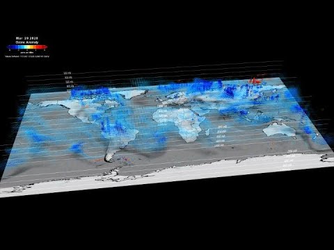
NASA Tracks COVID-19’s Atmospheric Fingerprint
0 Views0 Comments0 Likes
The COVID-19-related lockdowns granted scientists an unexpected and detailed glimpse as to how human activities impact atmospheric composition. Two recent studies, one focusing on nitrogen oxide and the other examinin...
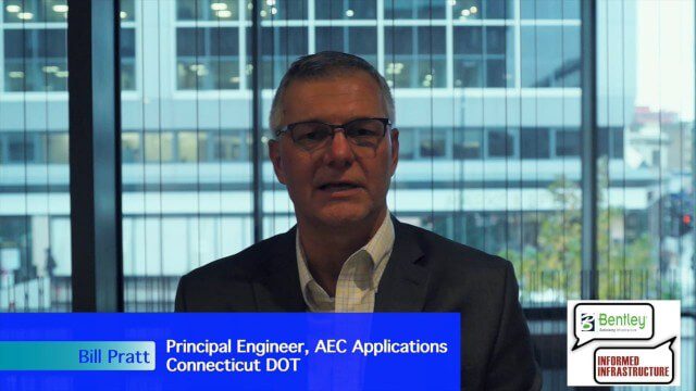
Linking Project Delivery with Asset Management
0 Views0 Comments0 Likes
The V1 Video team interviewed Bill Pratt at the 2015 Bentley Year in Infrastructure Conference in London in early November. Pratt is principal engineer, AEC Applications, Connecticut DOT, and he discussed how he and his fellow engineers are looking to improve project delivery, asset management and project tracking by using new technology.


