
Browse Archives
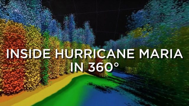
Inside Hurricane Maria in 360°
0 Views0 Comments0 Likes
Two days before Hurricane Maria devastated Puerto Rico, the NASA-Japan Global Precipitation Measurement Core Observatory satellite captured a 3-D view of the storm.
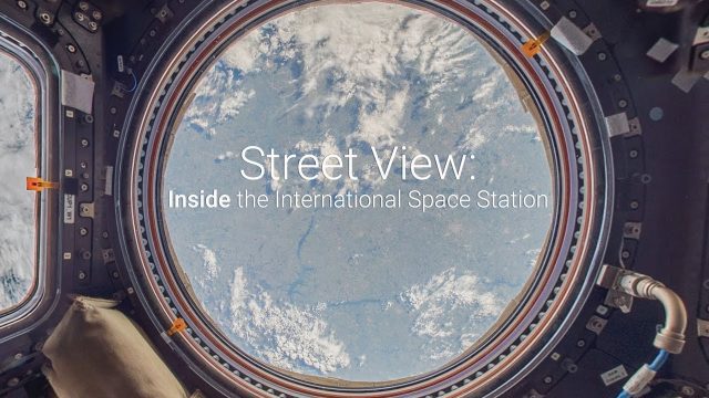
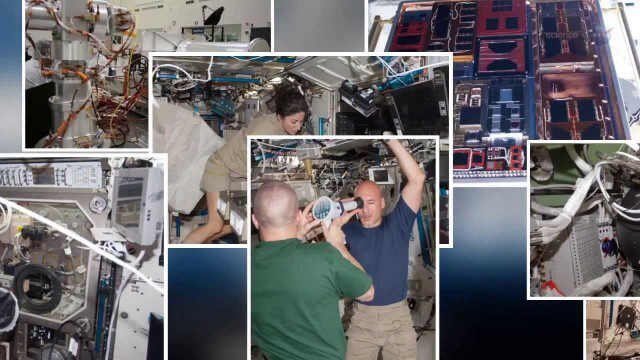
Inside the International Space Station with Google Street View
0 Views0 Comments0 Likes
The International Space Station is a marvel of modern science and engineering. Astronauts have occupied the pressurized modules for over 16 years, and now you can explore their work and living spaces in Google Street View. From the research, to the "orbital outhouse" to the inspirational views back down to Earth from the cupola, take a look at the images here: google.com/streetview
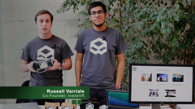
InsiteVR Takes Virtual Reality Beyond Gaming, into Design
0 Views0 Comments0 Likes
InsiteVR helps viewers better understand a variety of designs by experiencing them from a realistic perspective. On behalf of V1 Media, Informed Infrastructure and GeoSpatial Stream, Todd Danielson interviewed Angel Say and Russell Varriale, co-founders of InsiteVR, at the Geodesign Summit 2015 in Redlands, Calif.
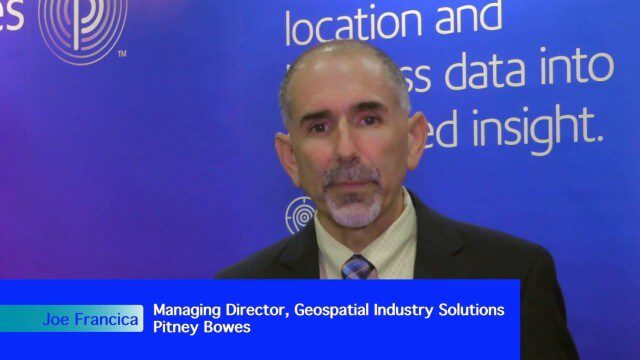
Integrating Geospatial Technology with Business Intelligence
0 Views0 Comments0 Likes
The V1 Video team interviewed Joe Francica, managing director, Geospatial Industry Solutions at Pitney Bowes, at the GEOINT Symposium in Washington, D.C. We spoke about the launch of MapInfo Pro Raster that uses new Multi-Resolution Raster technology to enable fast processing, visualization and analysis of large high-resolution imagery datasets. We also spoke about the MapInfo Pro 64 bit, which speeds up productivity.

INTERGEO Conference Integrates Geoinformation with Modern Infrastructure
0 Views0 Comments0 Likes
This year’s conference at the 20th INTERGEO will be taking a close look at crucial social and political topics set within the framework of increasing global digitization. A whole series of events and forums will offer in-depth discussions on shaping and developing our living environment.
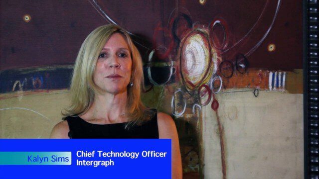
Intergraph Integrates Public-Safety Technology
0 Views0 Comments0 Likes
V1 Media and GeoSpatial Stream attended HxGN Live, Hexagon's annual user conference, at the MGM Grand in Las Vegas from June 1-4, 2015. They interviewed Kalyn Sims, Chief Technology Officer at Intergraph, who discussed modern computer-aided dispatch, Intergraph's public-safety technology ecosystem, Big Data challenges, evolving patrol work and the rise of UAVs.
International Space Station Gets a Ten-Year Extension
0 Views0 Comments0 Likes

International Space Station Gets a Ten-Year Extension
0 Views0 Comments0 Likes

Interview with CEOs of Bentley Systems and Topcon Positioning Systems
0 Views0 Comments0 Likes
In October 2019, Informed Infrastructure Editorial Director Todd Danielson went to Bentley Systems’ Year In Infrastructure conference in Singapore. While there as an award juror for the Buildings and Campuses category, he was able to interview Greg Bentley and Ray O'Connor, the CEOs of Bentley Systems and Topcon Positioning Systems, respectively, about their companies and the joint venture they launched at the event: Digital Construction Works Incorporated (DCW).

Interview with Esri President Jack Dangermond
0 Views0 Comments0 Likes
In November 2019, Informed Infrastructure Editorial Director Todd Danielson interviewed Esri President Jack Dangermond at the Autodesk University (AU) Conference in Las Vegas.


