
Browse Archives
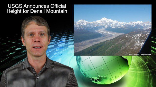
9_3 Environment Broadcast (Ocean Monitoring, Habitat Protection, Denali and More)
0 Views0 Comments0 Likes
This GeoSpatial Stream broadcast discusses ocean monitoring by the European Commission's NeXOS project; ocean-habitat monitoring off of Costa Rica, with the help of DigitalGlobe satellite imagery; a new official height for Denali Mountain; industry news from Trimble, Spatial Dimension, TerraGo, Esri, FlightAware and SimActive; a video from the EPA; and more.
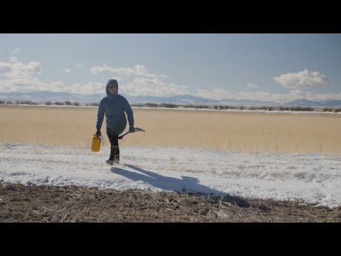
Video: Snow Scientists in the Windswept Montana Prairie
0 Views0 Comments0 Likes
NASA’s SnowEx ground and airborne campaign is a multiyear effort using a variety of techniques to study snow characteristics, and the team began their new field study year in January 2021.

The Bentley Mission and Tools to Get There
0 Views0 Comments0 Likes
The V1 Video team interviewed Bhupinder Singh at the 2015 Bentley Year in Infrastructure Conference in London in early November. Singh, senior vice president of products for Bentley Software, spoke about how Bentley solutions are geared to create better-performing assets, its engineering content-management platform and details about Bentley Connect.

Ron Roth and Anders Ekelund Interview
0 Views0 Comments0 Likes
Matt Ball interviews Ron Roth, product manager, Airborne LiDAR, Leica Geosystems, and Anders Ekelund, managing director, Airborne Hydrography AB. They discuss Leica's acquisition of Airborne Hydrography AB and the bathymetric products the company creates, including its Chiroptera system.
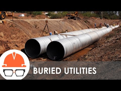
What’s that Infrastructure? (Subsurface Utilities)
0 Views0 Comments0 Likes
You never know what's buried below your feet, but it could be infrastructure. Today's episode of WTI shows a number of subsurface utilities.
4_8 Precision-Agriculture Broadcast (Food and Fluorescence, Sentinel Launch, and More)
0 Views0 Comments0 Likes
This GeoSpatial Stream broadcast discusses how food production can be tracked via satellites; the launch of Sentinel-1A; maps of extractive industries and agriculture in Peru and Ghana; a satellite competition; industry news from URISA, Ordnance Survey, Open Geospatial Consortium and Leica Geosystems; and more.
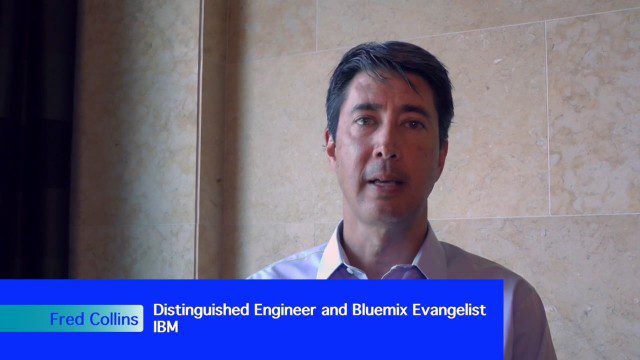
Geospatial as an Integral Part of Information Management
0 Views0 Comments0 Likes
The V1 Video team interviewed Fred C. Collins, Ph.D., Distinguished Engineer and Bluemix Evangelist at IBM, at the ENVI Analytics Symposium in Boulder, Colo. Bluemix is the company’s platform-as-a-service that supports geospatial as a key component of the architecture. We spoke about the growing awareness and reliance on geospatial capabilities for data management and analysis, and the flexibility of the Bluemix cloud-based tools that can be extended with hundreds of services.
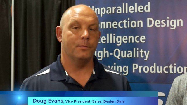
Design Data Adds Intelligence to Crane Modeling
0 Views0 Comments0 Likes
Todd Danielson interviews Doug Evans, Vice President, Sales, Design Data, at the HxGN LIVE event in Las Vegas, Nevada. They discuss sharing models with Intergraph software for production and manufacturing, its new SDS/2 Erector product that adds intelligence to crane modeling and building, and more.
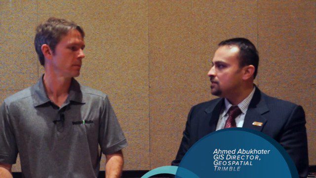
Trimble Dimensions Interview: Ahmed Abukhater
0 Views0 Comments0 Likes
At Trimble Dimensions 2014 in Las Vegas, V1 Media's Todd Danielson interviews Ahmed Abukhater, Marketing Director, GIS, Trimble. They discuss Trimble's suite of geospatial products and how they benefit and empower customers; office-to-field workflows; the Trimble InSphere geospatial cloud platform; data management opportunities and actionable data; Trimble TerraFlex data-collection software; data processing and purpose; balancing new acquisitions and existing brands; and more.
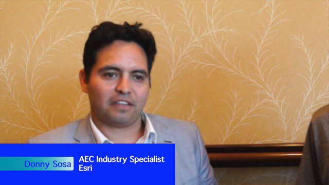
Esri’s Donny Sosa Talks UAVs and Photogrammetry
0 Views0 Comments0 Likes
Donny Sosa is an AEC Industry Specialist with Esri, and he spoke with V1 Media's Todd Danielson at SPAR International, which was held March 30-April 2, 2015, in Houston, Texas. They discussed UAVs and their proliferation, the pros and cons of UAV use, industry trends, product testing with Pix4D and more.


