
Browse Archives
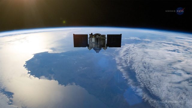
ScienceCasts: Riding the Slingshot to Bennu
0 Views0 Comments0 Likes
Gravity’s pull is being used to help propel a small spacecraft known as OSIRIS-REx to a near-Earth asteroid called Bennu.
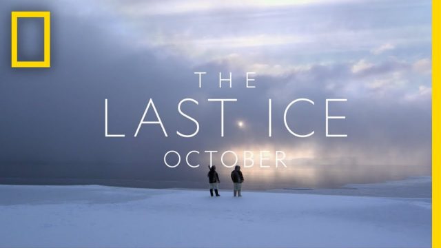
The Last Ice Trailer
0 Views0 Comments0 Likes
THE LAST ICE tells the story of the Inuit communities fighting to protect the disappearing Arctic that has been their home for centuries. From National Geographic Pristine Seas, THE LAST ICE premieres on National Geographic Channel this October.

Interview with CEOs of Bentley Systems and Topcon Positioning Systems
0 Views0 Comments0 Likes
In October 2019, Informed Infrastructure Editorial Director Todd Danielson went to Bentley Systems’ Year In Infrastructure conference in Singapore. While there as an award juror for the Buildings and Campuses category, he was able to interview Greg Bentley and Ray O'Connor, the CEOs of Bentley Systems and Topcon Positioning Systems, respectively, about their companies and the joint venture they launched at the event: Digital Construction Works Incorporated (DCW).

INTERGEO Conference Integrates Geoinformation with Modern Infrastructure
0 Views0 Comments0 Likes
This year’s conference at the 20th INTERGEO will be taking a close look at crucial social and political topics set within the framework of increasing global digitization. A whole series of events and forums will offer in-depth discussions on shaping and developing our living environment.
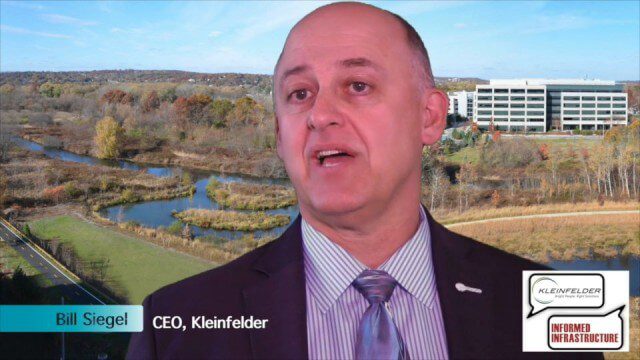
Kleinfelder Interview – Bill Siegel, CEO
0 Views0 Comments0 Likes
Informed Infrastructure spoke with Bill Siegel, CEO of Kleinfelder, at the opening of the company’s new office in downtown Denver. The conversation touched on the company’s growth through the recession, the trend toward mega-mergers in the AEC industry, and the need to address aging infrastructure.
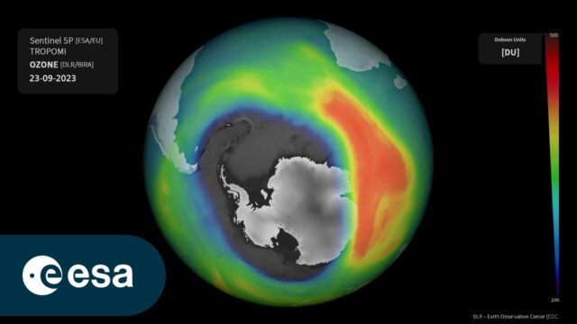
Ozone Hole as Monitored by the German Aerospace Center
0 Views0 Comments0 Likes
This animation uses Sentinel-5P total ozone measurements and shows the evolution of the ozone hole over the South Pole from Sept. 1-29, 2023. The Tropomi total ozone measurements are processed within the Sentinel-5...
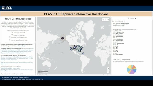
Explore the Risk of PFAS in Local Tap Water
0 Views0 Comments0 Likes
U.S. Geological Survey scientists created an interactive map to help the public better understand their risk of exposure to PFAS, also known as “forever chemicals.” This interactive tool allows you to view data from a...
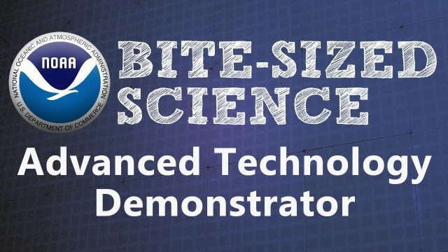
NOAA’s Advanced Technology Demonstrator
0 Views0 Comments0 Likes
The ATD is a new research radar that combines the benefits of a phased array radar with the benefits of a dual polarization technology.

8_20 Infrastructure Broadcast (Smart Cities, Nepal Recovery and More)
0 Views0 Comments0 Likes
This Infrastructure-themed GeoSpatial Stream broadcast discusses Smart Cities initiatives and reports to help urban areas become more sustainable and livable; updates from engineers concerning Nepal's earthquake recovery; industry news from Topcon Positioning Group, Woolpert, gViz and IMAGINiT; thoughts on the growing Smart Cities industry; and more.

Hurricane Forecasts Rely on Modeling the Past
0 Views0 Comments0 Likes
Improving hurricane forecasts means testing historical storms with today's sophisticated models and supercomputers. NASA and NOAA work together in gathering ground and satellite observations, as well as experimenting with research forecast models. As a result of this collaboration, model resolution has increased, and scientists are discovering more about the processes that occur within these powerful storms. The Global Precipitation Measurement (GPM) Mission is a joint NASA and Japan Aerospace Exploration Agency (JAXA) mission that measures all forms of precipitation around the globe. GPMs Microwave Imager, or GMI, has proven useful in seeing beneath the swirling clouds and into the structure of tropical cyclones. The information gathered by GPM and other missions will be used to improve forecast models.


