
Browse Archives
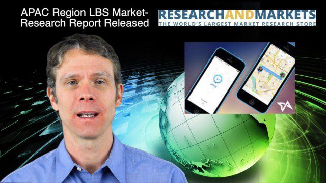
12_18 Asia-Pacific Broadcast (Cultural Heritage, APAC LBS Market and More)
0 Views0 Comments0 Likes
This Asia-Pacific-focused GeoSpatial Stream broadcast discusses a Cultural Preservation survey project in LaoSiCheng, China; a market-research report on the APAC region's LBS market; a V1 Media interview with a Bentley Systems Year in Infrastructure award winner from China; industry headlines from Paragon Software Systems, SkyTraq Technology Inc., Supergeo Technologies and Hamon Thermal Co.; and more.

OCO-2: NASA’s New Carbon Counter
0 Views0 Comments0 Likes
NASA's OCO-2 mission will shed new light on understanding carbon and its role in our planet's future.
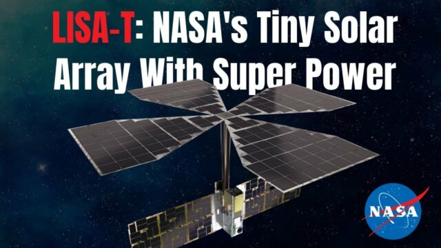
NASA Expert Describes Agency’s Tiny Solar Array With Super Power
0 Views0 Comments0 Likes
NASA teams are testing a key technology demonstration known as LISA-T, short for the Lightweight Integrated Solar Array and anTenna. It’s a super compact, stowable, thin-film solar array that when fully deployed in sp...

Simulating Spaces for Social Distancing
0 Views0 Comments0 Likes
Todd Danielson, Informed Infrastructure's editorial director, interviewed Eduardo Lazzarotto, Bentley Systems’ director of Product Management for Facilities Engineering, via webcam.
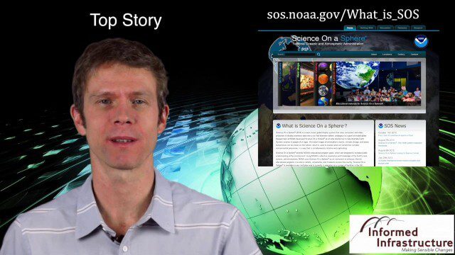
Thanksgiving Broadcast 11_25 (Science on a Sphere, JFK maps and video, nanosatellites and more)
0 Views0 Comments0 Likes
This Daily Digest from 11/25 covers topics such as Science on a Sphere, JFK memorial maps and video, U.S. Air Force launching 29 nanosatellites, Malaysian news and more.
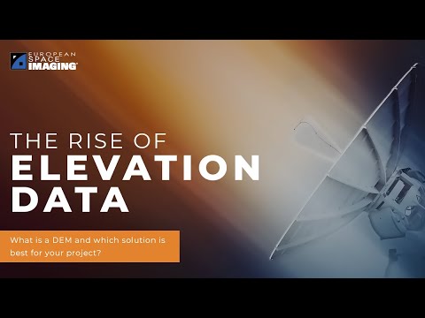
The Rise of Elevation Data – What Is a DEM and Which Solution Is Best for You?
0 Views0 Comments0 Likes
The world exists in three dimensions and often, so does satellite imagery. But with so many types of Digital Elevation Models, each created via different collection and processing methods and sold in a variety of for...

Ultra High Definition (4K) View of Planet Earth
0 Views0 Comments0 Likes
NASA monitors Earth's vital signs from land, air and space with a fleet of satellites and ambitious airborne and ground-based observation campaigns.
Listening to the Amazon: Tracking Deforestation Through Sound
0 Views0 Comments0 Likes
From space, parts of the Amazon rainforest that have previously been logged or burned may look lush and green, like a place buzzing with activity and full of sounds. But inside the rainforest, the animal life may tell...
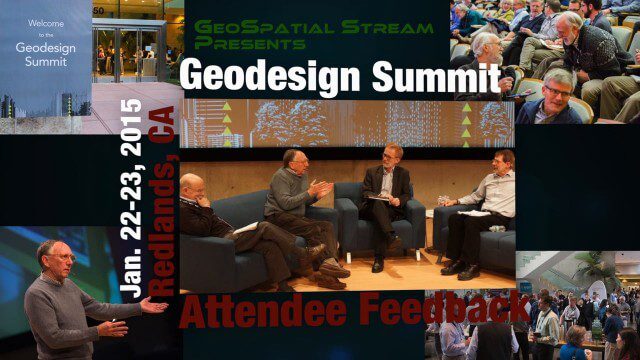
Geodesign Summit 2015: Attendee Feedback
0 Views0 Comments0 Likes
The Geodesign Summit 2015 featured a variety of speakers and topics focused on designing a better and smarter built environment. This video produced by GeoSpatial Stream presents immediate feedback from attendees describing what geodesign means to them and how they plan to apply what they learned at the event to their jobs and lives.
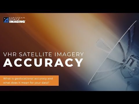
Why Geolocational Accuracy Matters
0 Views0 Comments0 Likes
Satellite imagery has revolutionised industries, all around the world. The resolution and clarity of these images keeps increasing and because of that, it is important to understand the geolocational and geospatial ac...


