
Browse Archives

New Supercomputer Simulation Sheds Light on Moon’s Origin
0 Views0 Comments0 Likes
A new NASA and Durham University simulation puts forth a different theory of the Moon’s origin—the Moon may have formed in a matter of hours, when material from the Earth and a Mars sized-body were launched directly i...
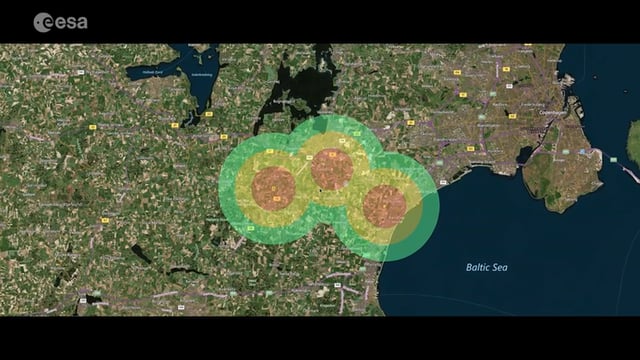
Satellite-Based Wildlife-Monitoring Tool for Airports
0 Views0 Comments0 Likes
Wildlife habitats close to airports pose a serious risk to safety at takeoff and landing. A new service lets airports use Earth-observation satellites to identify and manage these areas.
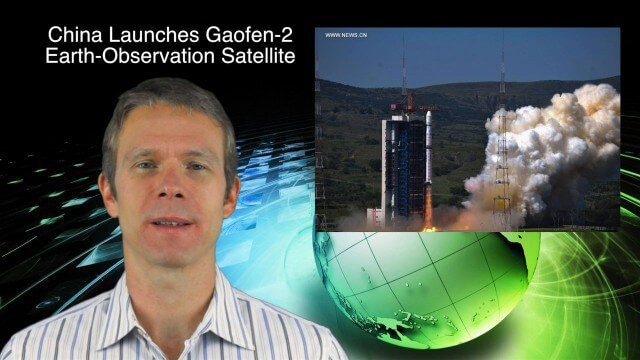
8_27 Asia-Pacific Broadcast (Infrastructure, Alibaba and More)
0 Views0 Comments0 Likes
This Asia-Pacific-focused GeoSpatial Stream broadcast discusses infrastructure topics such as new financing in India, water monitoring in China, and a Chinese offer to help upgrade U.S. transportation systems; an urban-renewal project in Melbourne; China's successful launch of the Gaofen-2 Earth-observation satellite; industry news from Alibaba, Google, Maestro Wireless Solutions and CSR; drones helping China recover from an earthquake; Japanese microsatellites; and more.
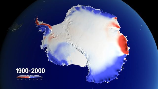
Snow over Antarctica Buffered Sea-Level Rise during Last Century
0 Views0 Comments0 Likes
A new NASA-led study has determined that an increase in snowfall accumulation over Antarctica during the 20th century mitigated sea level rise by 0.4 inches. However, Antarctica’s additional ice mass gained from snowfall only makes up for about a third of its current ice loss.

RideAmigos UNITY
0 Views0 Comments0 Likes
Uniting entities that create the data needed to provide rich visualizations and insights into commuter habits globally, Unity enables unlimited public and private networks within a region to create behavioral changes and eliminate traffic by allowing users to sync data to Esri ArcGIS software for modal analysis. Users can also explore how each mode contributes to greenhouse gas emissions and climate change.
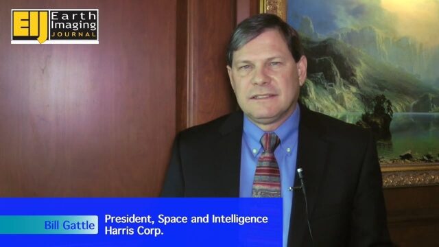
A Revolution in the Value of Remote Sensing
0 Views0 Comments0 Likes
The V1 Video team interviewed Bill Gattle, President of Space and Intelligence at Harris Corp., at the 32nd Space Symposium held April 11-14, 2016, in Colorado Springs, Colo. He discusses the worldwide value transformation seen in remote sensing, the company's doubling in size with its acquisition of Exelis and the efforts to make that an effective transition, and the growing importance of the GEOINT space.
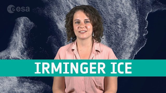
Earth from Space: Irminger Sea Ice Swirl
0 Views0 Comments0 Likes
Copernicus Sentinel-2 takes us over fragments of swirling sea ice off the coast of Greenland, in this week's edition of the Earth from Space program.
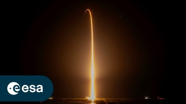
Liftoff for Crew-7 Aboard Crew Dragon Spacecraft Endurance
0 Views0 Comments0 Likes
On Aug. 26, 2023, Crew-7 aboard the Crew Dragon spacecraft Endurance embarked on a journey to the International Space Station. Watch the full coverage of their launch from pad 39A at Kennedy Space Center in Florida. ...
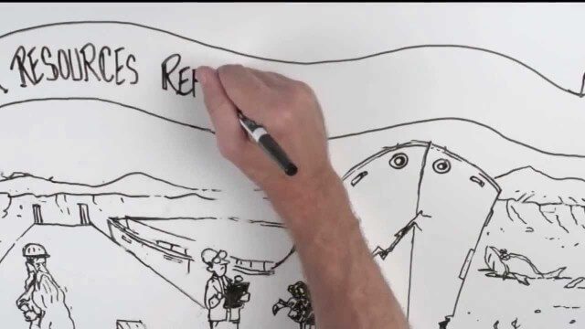
Whiteboard: How to Reform Water Infrastructure
0 Views0 Comments0 Likes
The Water Resources Reform and Development Act (WRRDA) of 2013 promotes our Nation's competitiveness, prosperity, and economic growth by upholding the seminal federal responsibility to maintain a strong transportation infrastructure and ensure the efficient flow of domestic and international commerce.
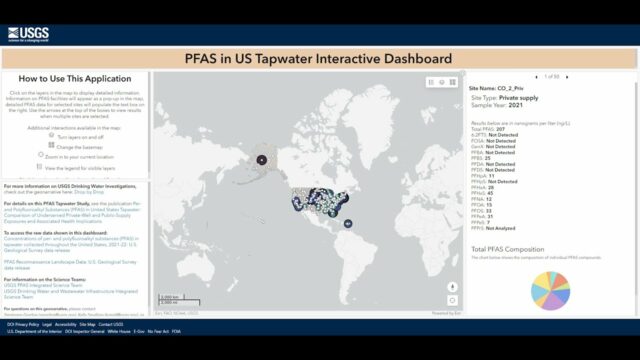
Explore the Risk of PFAS in Local Tap Water
0 Views0 Comments0 Likes
U.S. Geological Survey scientists created an interactive map to help the public better understand their risk of exposure to PFAS, also known as “forever chemicals.” This interactive tool allows you to view data from a...


