
Browse Archives
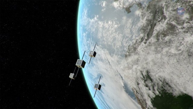
ScienceCasts: NASA Embraces Small Satellites
0 Views0 Comments0 Likes
NASA is embracing small satellite designs, from tiny CubeSats to micro-satellites. These miniature marvels are providing many ways to collect science data and to demonstrate new technologies.

Why Attend Bentley Systems YII 2016
0 Views0 Comments0 Likes
This video from Bentley Systems shows highlights of the 2015 event and what attendees can expect if they convene in London in 2016.
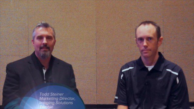
Trimble Dimensions Interview: Todd Steiner and Tim Lemmon
0 Views0 Comments0 Likes
At Trimble Dimensions 2014 in Las Vegas, V1 Media's Todd Danielson interviews Trimble's Todd Steiner, Marketing Director for Imaging Solutions, and Tim Lemmon, Office Software Director for Geospatial. They discuss Trimble's core history of surveying and GPS products; new visualization and imaging tools; software geared toward a variety of geospatial vertical markets; the evolving role of the surveyor; and more.
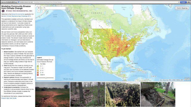
Modeling Community Erosion from Climate Change
0 Views0 Comments0 Likes
Based on modeling current and future soil erosion with high-resolution scientific data, the app allows users to locate sites that are vulnerable to erosion, predicts soil loss driven by climate change, and enables users to investigate erosion risks for future land covers.
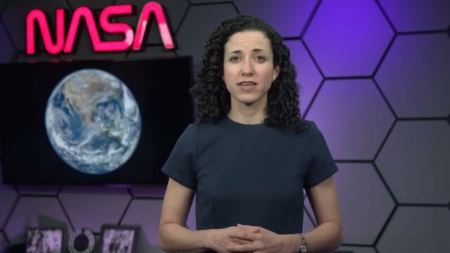
Air Quality in Washington, D.C.
0 Views0 Comments0 Likes
A video production for NASA's Earth Information Center about air quality in Washington, D.C. Air pollution in DC has declined by 50% in the last two decades. NASA uses sensors aboard satellites and aircraft to obta...
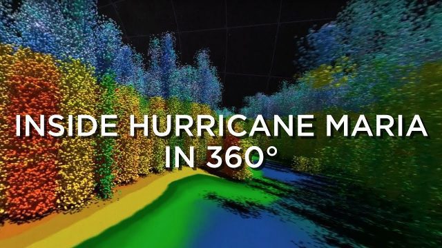
Inside Hurricane Maria in 360°
0 Views0 Comments0 Likes
Two days before Hurricane Maria devastated Puerto Rico, the NASA-Japan Global Precipitation Measurement Core Observatory satellite captured a 3-D view of the storm.
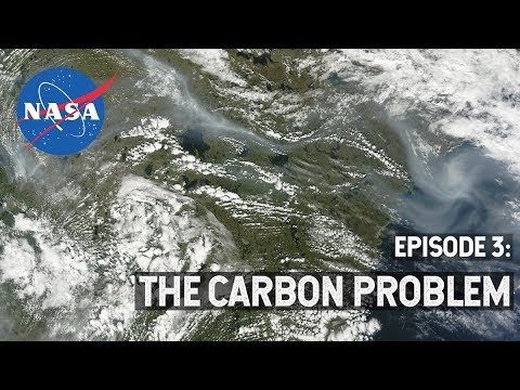
NASA Explorers S3 E3: The Carbon Problem
0 Views0 Comments0 Likes
In the Arctic, fires are a natural part of the ecosystem. But as the climate changes, fires are burning longer and hotter, releasing long-buried carbon from the soil.

4_10 GEOINT Broadcast (Special Ops Data, New Weather Satellite, GPS III and More)
0 Views0 Comments0 Likes
This GeoSpatial Stream broadcast discusses geospatial intelligence, its legacy and the upcoming GEOINT Symposium; a recently launched U.S. military weather satellite; GPS III developments; industry news from Headwall, Thermopylae Sciences and Technology, Trimble, Esri, DigitalGlobe, and Riegl; and more.
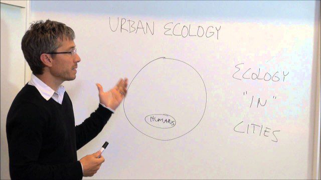
Urban Ecology
0 Views0 Comments0 Likes
An assistant professor at the New School in New York discusses and explains urban ecology.
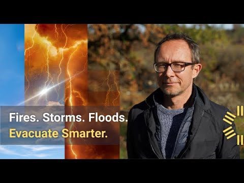
700 U.S. Towns in Need of Bolstered Evacuation Preparedness
0 Views0 Comments0 Likes
Get a bird's-eye view of a California community that in 2020 fell victim to the 370,000-acre LNU Lightning Complex Fire.


