
Browse Archives

A Colorful ‘Landing’ on Pluto
0 Views0 Comments0 Likes
What would it be like to actually land on Pluto? This movie was made from more than 100 images taken by NASA’s New Horizons spacecraft over six weeks of approach and close flyby in the summer of 2015.
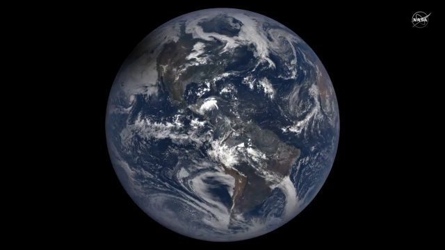
2017 Solar Eclipse Shadow Seen from Million Miles Away
0 Views0 Comments0 Likes
The moon's shadow (umbra) crossed the continental United States on Aug. 21, 2017 and NASA's DSCOVR satellite's Earth Polychromatic Imaging Camera (EPIC) captured imagery.

Matt Zbysenski Interview (IES Engineering)
0 Views0 Comments0 Likes
Matt Ball interviews Matt Zbysenski, Piping Designer, IES Engineering, at SPAR International in Colorado Springs, Colo. They discuss LiDAR in the construction workflow, safety mitigation, cost/time savings, pre-fabricated construction, and oil & gas uses.
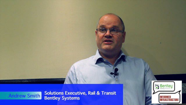
Exciting Times for Road and Rail Infrastructure
0 Views0 Comments0 Likes
The V1 Video team interviewed Andrew Smith at the 2015 Bentley Year in Infrastructure Conference in London in early November. Smith is a Solutions Executive, Rail & Transit, for Bentley Systems, and he discussed new technologies in rail design and construction, London's Crossrail project and its effect on BIM, and evolving business processes affecting the industry.
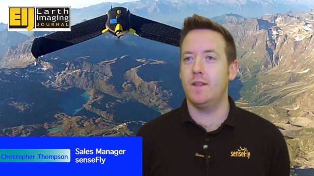
Getting Accurate Results Quickly and Cheaply with Unmanned Aircraft
0 Views0 Comments0 Likes
The V1 Video team spoke to Christopher Thompson, the sales manager for senseFly, the manufacturers of fixed-wing and rotary unmanned aircraft systems (UASs) for mapping. We talked about the broad range of applications and some interesting case studies. We also touched on the inspection capabilities of their new eXom rotary platform.
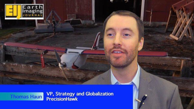
PrecisionHawk Making a Marketplace for UAS Data Management and Analysis
0 Views0 Comments0 Likes
The V1 Video team spoke with Thomas Haun, vice president of strategy and globalization at PrecisionHawk, at the recent Commercial UAV Expo. PrecisionHawk has developed a fixed-wing UAS as well as an online data management and analysis platform to help data collectors provide insight. We talked about the agriculture market, the flexibility of using different sensor payloads and acting on information.
The Rise of Elevation Data – What Is a DEM and Which Solution Is Best for You?
0 Views0 Comments0 Likes
The world exists in three dimensions and often, so does satellite imagery. But with so many types of Digital Elevation Models, each created via different collection and processing methods and sold in a variety of for...
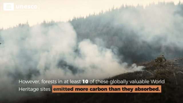
Quantifying Climate Benefits from UNESCO World Heritage Forests
0 Views0 Comments0 Likes
Forests contribute to the global climate system by both emitting and absorbing carbon dioxide (CO2) from the atmosphere. However, our understanding of the transfer of CO2 between forests and the atmosphere at specifi...

Valarm Interview at GeoDesign Summit
0 Views0 Comments0 Likes
Todd Danielson interviews a team from Valarm, including Lorenzo Gonzalez, CEO and Software Architect, and Edward Pultar, President and Spatial Scientist. They discuss the company's vision, its clients and how its software assimilates sensor information.
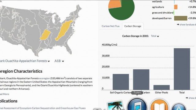
USGS LandCarbon Viewer Tutorial
0 Views0 Comments0 Likes
This video, narrated by USGS scientist Brad Reed, provides a brief tutorial on the use of the USGS LandCarbon Viewing tool.


