
Browse Archives
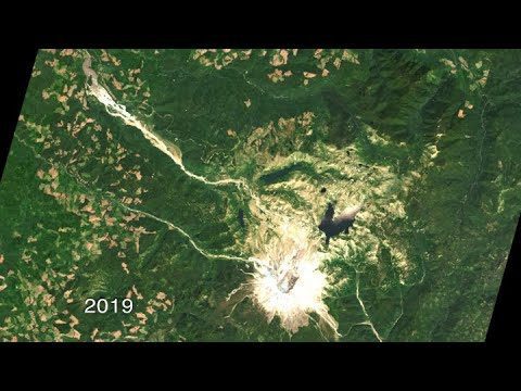
40 Years of Watching Mount St. Helens
0 Views0 Comments0 Likes
Both before and after the eruption, Landsat satellites were taking regular observations of the area, and their data is being used to study how forests recover from a very large disturbance.
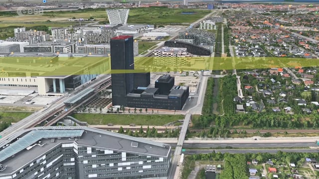
Ascend – Obstacle management solution
0 Views0 Comments0 Likes
Ascend XYZ in Denmark has developed a service to help airports to comply with airside safety regulations. The service uses satellites and aircraft combined with smart web-based software to record and monitor potential obstacles that encroach on restricted zones at airports and therefore pose a risk to flight safety. This project was supported within ESA's ARTES Applications programme.

Richard Humphrey Interview (Full-Length Version)
0 Views0 Comments0 Likes
Todd Danielson interviews Richard Humphrey, senior director, Infrastructure & Collaboration Products, Autodesk. They discuss how technology can help "bridge the gaps" in infrastructure spending, the Autodesk infrastructure product suite, simulation services, information unification, rules-based design platforms, large-scale modeling, and Autodesk's ReCap product.

Simulating Spaces for Social Distancing
0 Views0 Comments0 Likes
Todd Danielson, Informed Infrastructure's editorial director, interviewed Eduardo Lazzarotto, Bentley Systems’ director of Product Management for Facilities Engineering, via webcam.
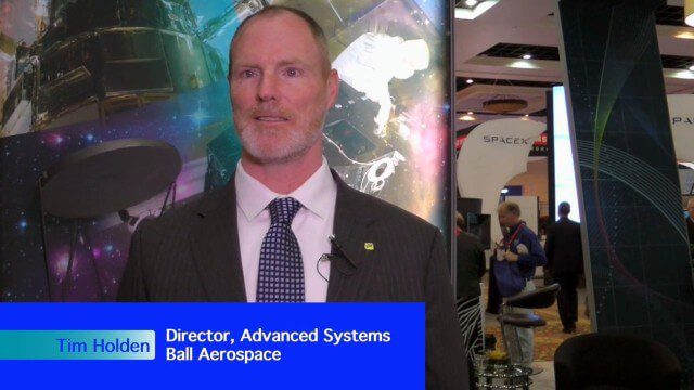
Ball Aerospace Delivers Science-Driven Sensors
0 Views0 Comments0 Likes
Ball Aerospace is a unique entity that delivers imaging instruments as well as full satellites, bringing scientists and engineers together to optimize sensor and spacecraft design. Earth Imaging Journal spoke with Tim Holden, director of advanced systems at Ball Aerospace, about sensor development, the commercialization of space and opportunities in remote sensing with increased temporal revisits.

3_6 ILMF Broadcast (Conference Recap, USGS News, Aerial Imagery Market and More)
0 Views0 Comments0 Likes
This GeoSpatial Stream broadcast discusses the recent International LiDAR Mapping Forum, important USGS news, the future of the aerial imagery market, a map contest, and more.

Delivering Very-High-Resolution Imagery for Densely Populated Areas
0 Views0 Comments0 Likes
The V1 Video team interviewed Paul Peterson, senior vice president, Product & Engineering, nearmap, at the 2015 Esri User Conference in San Diego. The aerial imagery and visual analytics company provides timely, high-resolution and historic imagery that they recently imported to the United States from Australia. The unique sensing capacity and frequent revisits of major cities is accompanied by online analysis tools.
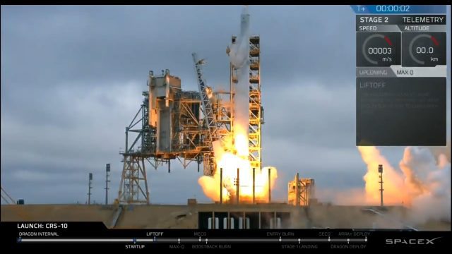
Liftoff of SpaceX CRS-10
0 Views0 Comments0 Likes
The SpaceX Falcon 9 rocket launches from Launch Complex 39A at Kennedy Space Center in Florida. The launch vehicle is carrying a Dragon spacecraft on SpaceX CRS-10, the company's tenth commercial resupply services mission to deliver cargo to the International Space Station.

David Rouse Discusses Sustainable Places at the Geodesign Summit
0 Views0 Comments0 Likes
David Rouse, Research Director for the American Planning Association (APA), oversees the Planning Advisory Service and the three National Centers for Planning (Green Communities, Hazards Planning, and Planning and Community Health). On behalf of V1 Media, Informed Infrastructure and GeoSpatial Stream, Todd Danielson interviewed Rouse at the Geodesign Summit 2015 in Redlands, Calif.
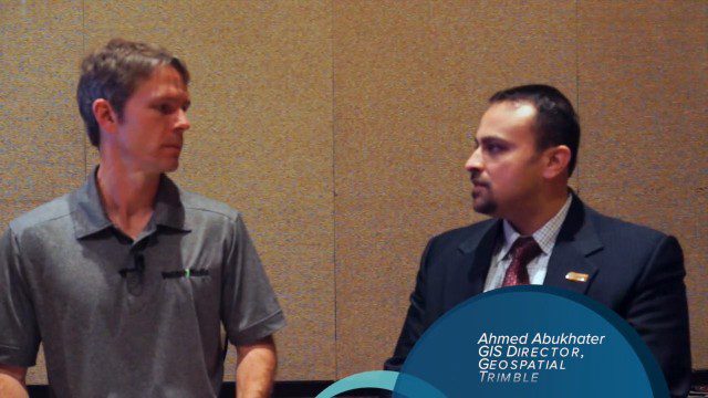
Trimble Dimensions Interview: Ahmed Abukhater
0 Views0 Comments0 Likes
At Trimble Dimensions 2014 in Las Vegas, V1 Media's Todd Danielson interviews Ahmed Abukhater, Marketing Director, GIS, Trimble. They discuss Trimble's suite of geospatial products and how they benefit and empower customers; office-to-field workflows; the Trimble InSphere geospatial cloud platform; data management opportunities and actionable data; Trimble TerraFlex data-collection software; data processing and purpose; balancing new acquisitions and existing brands; and more.


