
Browse Archives
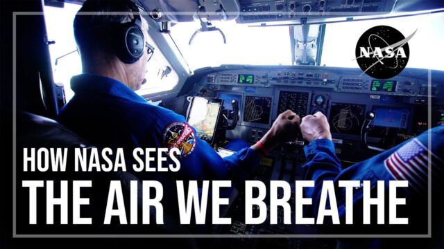
How NASA Sees the Air We Breathe
0 Views0 Comments0 Likes
NASA and NOAA, among other agencies, worked together this summer through the STAQS and AEROMMA missions to calibrate and validate NASA’s new TEMPO satellite. The satellite and missions combined aim to not only better ...
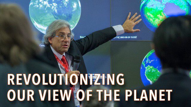
How Satellites Have Revolutionized Our Understanding of Our Home Planet
0 Views0 Comments0 Likes
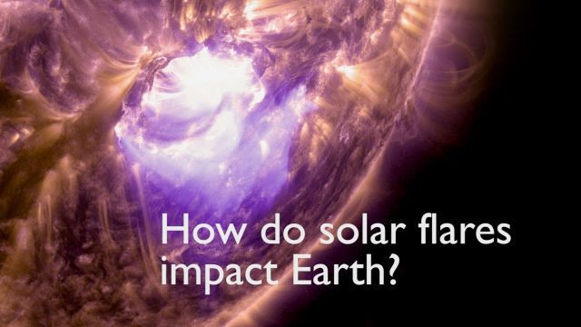
How Solar Flares Affect Earth
0 Views0 Comments0 Likes
A team of scientists led by Laura Hayes–a solar physicist who splits her time between NASA's Goddard Space Flight Center and Trinity College in Dublin, Ireland–investigated a connection between solar flares and Earth's atmosphere.
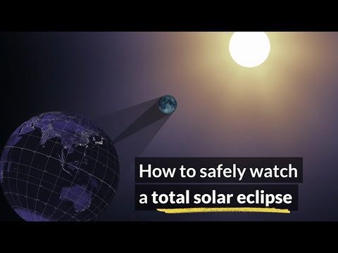
How to Safely Watch a Solar Eclipse
0 Views0 Comments0 Likes
It is never safe to look directly at the sun's rays - even if the sun is partly obscured. When watching a partial eclipse you must wear eclipse glasses at all times if you want to face the sun, or use an alternate indirect method. This also applies during a total eclipse up until the time when the sun is completely and totally blocked.
How to Save Time and Money When Processing Geospatial Imagery
0 Views0 Comments0 Likes
Are you overwhelmed by GIS data, and wish you had more time and processing power? Then check out this video from LizardTech that shows the benefits of GeoExpress, which helps geospatial professionals save time and money by compressing and manipulating satellite and aerial imagery.
How Will Space Transform the Global Food System?
0 Views0 Comments0 Likes
According to the Food and Agriculture Organization (FAO), global agricultural production will need to increase by 60% by 2050 to meet the food demands of the growing global population. A new satellite called Copernicu...
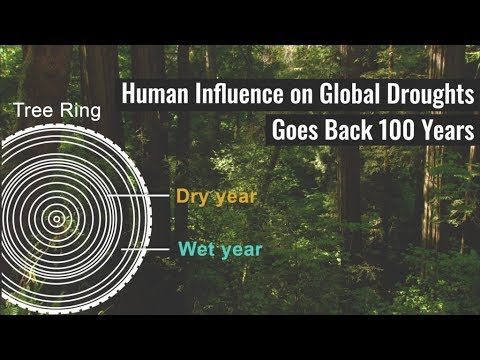
Human Influence on Global Droughts Goes Back 100 Years
0 Views0 Comments0 Likes
Human-generated greenhouse gases and atmospheric particles were affecting global drought risk as far back as the early 20th century, according to a study from NASA's Goddard Institute for Space Studies (GISS) in New York City.

Hurricane Forecasts Rely on Modeling the Past
0 Views0 Comments0 Likes
Improving hurricane forecasts means testing historical storms with today's sophisticated models and supercomputers. NASA and NOAA work together in gathering ground and satellite observations, as well as experimenting with research forecast models. As a result of this collaboration, model resolution has increased, and scientists are discovering more about the processes that occur within these powerful storms. The Global Precipitation Measurement (GPM) Mission is a joint NASA and Japan Aerospace Exploration Agency (JAXA) mission that measures all forms of precipitation around the globe. GPMs Microwave Imager, or GMI, has proven useful in seeing beneath the swirling clouds and into the structure of tropical cyclones. The information gathered by GPM and other missions will be used to improve forecast models.
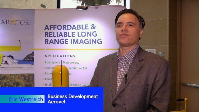
Hybrid VTOL Drone Eases Takeoff and Landing
0 Views0 Comments0 Likes
The V1 Video team interviewed Eric Westreich, who works on Business Development at Aerovel, at the 2015 Esri User Conference in San Diego. We spoke about the unique Aerovel Flexrotor hybrid-electric vertical takeoff and landing (VTOL) craft that can take off and land vertically, rotating its flight to cover more ground and takeoff from a moving platform. The Aerovel Flexrotor comes from a marine legacy, where runways aren’t possible other than on an aircraft carrier.
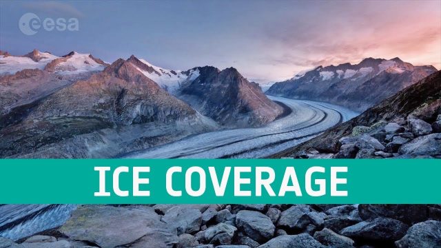
Ice Coverage: The Global Thaw
0 Views0 Comments0 Likes
One of the casualties of climate change is the diminishing ice cover, affecting our planet in a number of ways. ESA’s satellites observe the planet’s cryosphere and provide key information to understand and respond to global thawing.


