
Browse Archives
Trimble Discusses Hardware and Software Innovation
0 Views0 Comments0 Likes
Trimble's Todd Steiner, Product Marketing Director, Imaging, and Tim Lemmon, Product Marketing Director, Geospatial Office Software, spoke with V1 Media's Todd Danielson at SPAR International, which was held March 30-April 2, 2015, in Houston, Texas. They discussed new hardware and software products, smartphones' future accuracy, the differences in platform-neutral conferences, UAV applications and more.
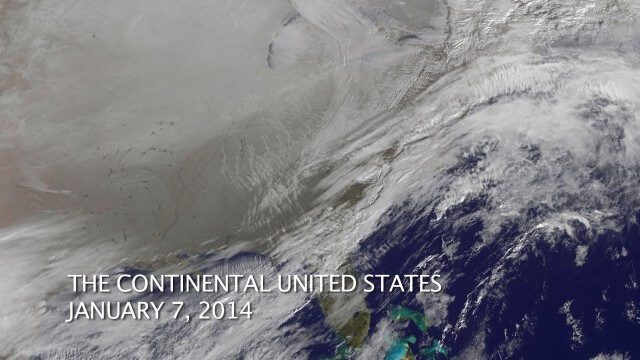
The Polar Vortex Explained in 2 Minutes
0 Views0 Comments0 Likes
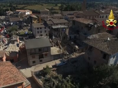
Drones Capture Italy’s Earthquake Scene
0 Views0 Comments0 Likes
Italian Prime Minister Matteo Renzi visited the site of an earthquake in Italy on Wednesday and pledged government support for the the affected area. Drone footage showed damage to buildings, some of which were completely reduced to rubble. (Aug. 24)
Tracking Three Decades of Dramatic Glacial Lake Growth
0 Views0 Comments0 Likes
In the largest-ever study of glacial lakes, researchers using a 30-year satellite data record have found that the volume of these lakes worldwide has increased by about 50% since 1990 as glaciers melt and retreat due to climate change.
Human Influence on Global Droughts Goes Back 100 Years
0 Views0 Comments0 Likes
Human-generated greenhouse gases and atmospheric particles were affecting global drought risk as far back as the early 20th century, according to a study from NASA's Goddard Institute for Space Studies (GISS) in New York City.
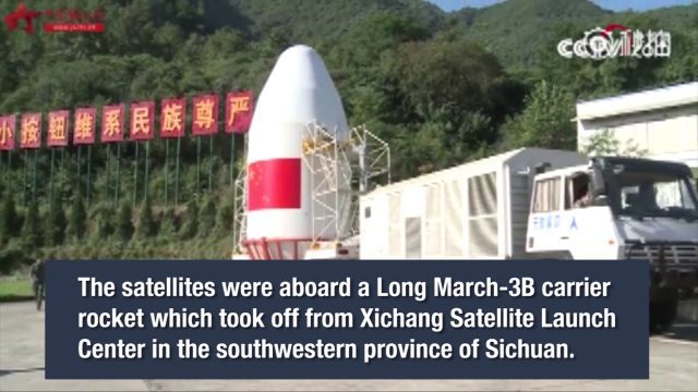
China Launches Two BeiDou-3 Navigation Satellites
0 Views0 Comments0 Likes
China launched two BeiDou-3 satellites into space via a single carrier rocket to support its global navigation and positioning network at 7:45 p.m. on Nov. 5, 2017.
Tracking Carbon from Wildfires to Ocean Blooms
0 Views0 Comments0 Likes
Between September 2019 and March 2020, wildfires killed billions of animals and decimated more than 200 thousand square kilometers of Australian forest, an area larger than Nebraska. Later, thousands of kilometers awa...
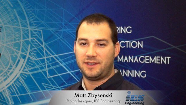
Matt Zbysenski Interview (IES Engineering)
0 Views0 Comments0 Likes
Matt Ball interviews Matt Zbysenski, Piping Designer, IES Engineering, at SPAR International in Colorado Springs, Colo. They discuss LiDAR in the construction workflow, safety mitigation, cost/time savings, pre-fabricated construction, and oil & gas uses.
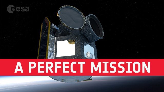
Cheops: Planning a Perfect Mission
0 Views0 Comments0 Likes
Teams of scientists and engineers are simulating the launch, early orbit phase and commissioning of the CHEOPS mission ahead of its launch period in the last quarter of 2019. The simulations are taking place at the CH...


