
Browse Archives

CEO Berglund Opens Trimble Dimensions 2014
0 Views0 Comments0 Likes
Trimble CEO Steve Berglund kicked off the company's biannual event, Trimble Dimensions 2014, with some opening comments about the company's growth and direction.
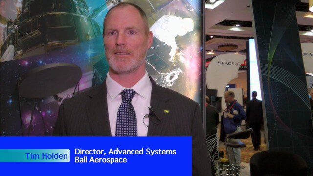
Ball Aerospace Delivers Science-Driven Sensors
0 Views0 Comments0 Likes
Ball Aerospace is a unique entity that delivers imaging instruments as well as full satellites, bringing scientists and engineers together to optimize sensor and spacecraft design. Earth Imaging Journal spoke with Tim Holden, director of advanced systems at Ball Aerospace, about sensor development, the commercialization of space and opportunities in remote sensing with increased temporal revisits.
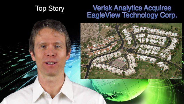
1_16 Acquisitions Broadcast (EagleView Acquired, Universe Explored, Shark Sensors and More)
0 Views0 Comments0 Likes
This GeoSpatial Stream broadcast examines Verisk Analytics' acquisition of EagleView Technology Corp., the size of the universe, Great White Shark sensors, contaminated water maps and more.
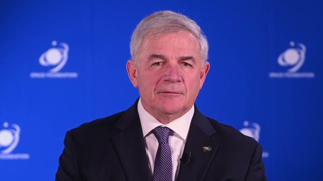
Tom Zelibor State of Space 2022 Abbreviated Remarks
0 Views0 Comments0 Likes
In an annual State of Space 2022 commentary and video, Thomas Zelibor, CEO of Space Foundation, a nonprofit advocate organization founded in 1983 for the global space ecosystem, speaks to business and government lead...

ikeGPS Demonstrates New Spike Device at Esri UC
0 Views0 Comments0 Likes
Brian Soliday, Senior VP of Sales, ikeGPS, demonstrates the company's new Spike measurement device at the 2014 Esri User Conference in San Diego. Featuring a laser, accelerometer and 3-D compass, combined with a camera and GPS, Spike provides and quick and easy way to "measure the world around you."
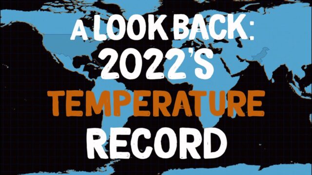
A Look Back: 2022’s Temperature Record
0 Views0 Comments0 Likes
2022 effectively tied for Earth’s 5th warmest year since 1880, and the last nine consecutive years have been the warmest nine on record. NASA looks back at how heat was expressed in different ways around the world in ...

Mike Tully Interview (Aerial Services Inc.)
0 Views0 Comments0 Likes
Matt Ball interviews Mike Tully, President and CEO, Aerial Services Inc., at SPAR International in Colorado Springs, Colo. They discuss remote sensing and airborne LiDAR in a variety of industries, sensor diversity, streamlining data delivery, and industry disruption due to unmanned aerial systems.

National Forest Monitoring and Assessment Program
0 Views0 Comments0 Likes
The National Forest Monitoring and Assessment program.
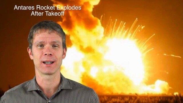
11_20 Earth Imaging Broadcast (Carbon Dioxide Modeling, GIS Day and More)
0 Views0 Comments0 Likes
This GeoSpatial Stream broadcast discusses Earth Imaging news and videos, including a supercomputer animation on carbon dioxide; the USGS William T. Pecora Award; the recent Antares rocket explosion; thoughts on Big Data from the European Space Agency; industry news from VineView SAI, SkySquirrel Technologies and DigitalGlobe; GIS Day; and more.
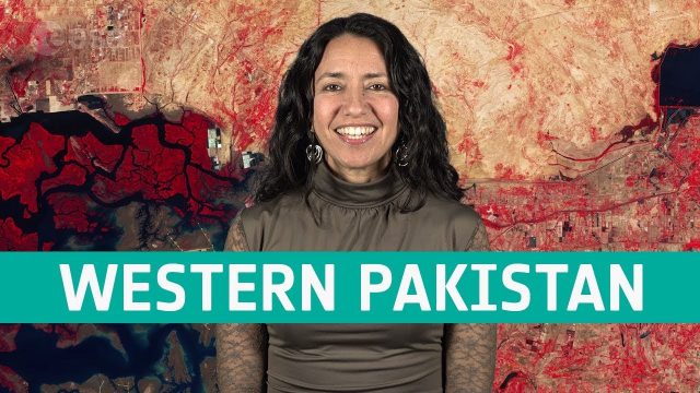
Earth from Space: Western Pakistan
0 Views0 Comments0 Likes
In this week's edition of the Earth from Space program, Copernicus Sentinel-2 takes us over western Pakistan and an important wetland area.


