
Browse Archives
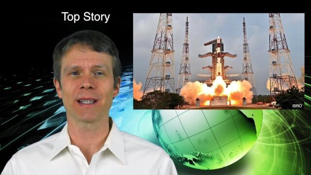
1_21 Asia Pacific Broadcast (GPS Alternatives, Nepal Landslides and More)
0 Views0 Comments0 Likes
This Asia-Pacific-themed GeoSpatial Stream broadcast discusses new alternatives to GPS, including the latest satellite launch for India's budding navigation system; an Australian tool for modeling wind dispersal; Indonesia mapping damaged peatlands; industry news from geoshepherds, Ordnance Survey and Esri Indonesia; a study indicating that landslides were less prevalent than expected after the 2015 Nepal earthquake; and more.
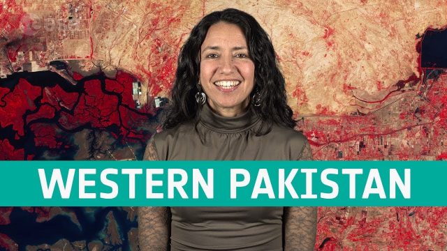
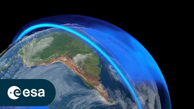
Earth from Space: Western Pakistan
0 Views0 Comments0 Likes
In this week's edition of the Earth from Space program, Copernicus Sentinel-2 takes us over western Pakistan and an important wetland area.
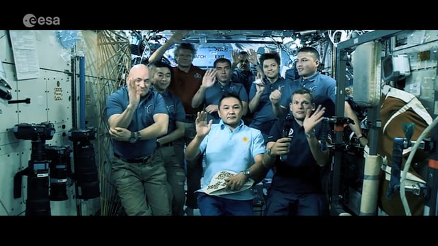
Destination Low Earth Orbit
0 Views0 Comments0 Likes
ESA astronaut Andreas Mogensen narrates this video on the inspiring endeavours of human spaceflight and how it changes our daily lives.
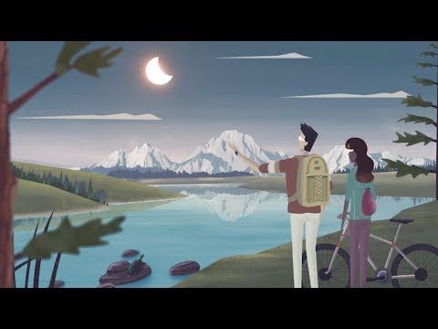
Get Ready for the 2017 Solar Eclipse
0 Views0 Comments0 Likes
On Monday, August 21, 2017, our nation will be treated to a total eclipse of the sun.
The Ozone Layer: A Hole New World
0 Views0 Comments0 Likes
In the 1980s, scientists discovered a gaping hole in Earth's ozone layer, caused by humanmade chemicals. But thanks to the historical Montreal Protocol, the world came together to take bold action to save our planet. ...
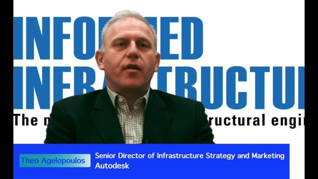
Interview with Theo Agelopoulos, Autodesk
0 Views0 Comments0 Likes
In November 2019, Informed Infrastructure Editorial Director Todd Danielson interviewed Theo Agelopoulos, the senior director of Infrastructure Strategy and Marketing at Autodesk, at the Autodesk University (AU) Confe...
Environment Prize-Winner Uses Satellites to Reveal Human Impact
0 Views0 Comments0 Likes
Eric Lambin, the winner of the 2014 Volvo Environment Prize is a remote sensing pioneer using satellite images and advanced data collection to analyse land use and the influence of humans on the planet. Watch the video on Eric Lambin’s research and about the Ecology of Happiness. Read more about the Volvo Environment Prize at: http://www.environment-prize.com/
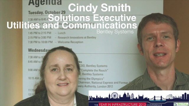
Cyndi Smith Interview
0 Views0 Comments0 Likes
Todd Danielson interviews Cyndi Smith, solutions executive, Utilities and Communications, Bentley Systems. They talk about new innovations for Electric Utilities as well as the Bentley Substation product.
2_18 Asia-Pacific Broadcast (China’s Ecological Infrastructure, TeLEOS-1 Satellite, Alibaba Mapping Offer and More)
0 Views0 Comments0 Likes
This Asia-Pacific-focused GeoSpatial Stream broadcast discusses Kongjian Yu's efforts in China's ecological infrastructure; the TeLEOS-1 Earth-imaging satellite; the Geological Survey of India; Alibaba's offer for AutoNavi; the "other" Great Wall of China mapping; Skybox Imaging in Australasia; and more.
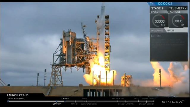
Liftoff of SpaceX CRS-10
0 Views0 Comments0 Likes
The SpaceX Falcon 9 rocket launches from Launch Complex 39A at Kennedy Space Center in Florida. The launch vehicle is carrying a Dragon spacecraft on SpaceX CRS-10, the company's tenth commercial resupply services mission to deliver cargo to the International Space Station.


