
Browse Archives

Harris Sensors Monitor Urban Environments
0 Views0 Comments0 Likes
The V1 Video team interviewed Eric Webster, Vice President and General Manager of Environmental Solutions at Harris Corp., at the 32nd Space Symposium held April 11-14, 2016, in Colorado Springs, Colo. He discusses the company's GreenLITE carbon dioxide monitoring system and how it can monitor an entire city, an example of the technology being used in Paris, and the benefits of a multi-sensor platform for environmental analysis.
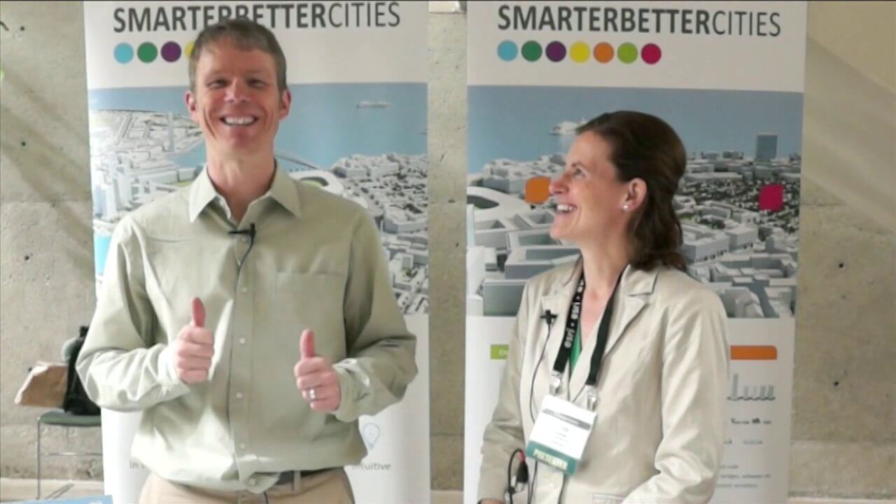
SmarterBetterCities Interview at GeoDesign Summit
0 Views1 Comments0 Likes
Todd Danielson interviews Antje Kunze, CEO and founder of SmarterBetterCities, which is based out of Zurich, Switzerland. They discuss the software company's vision for holistic urban planning as well as its tools for achieving those goals.
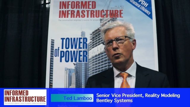
Working from Reality Capture to Modeling to Consumption
0 Views0 Comments0 Likes
The V1 Video team interviewed Ted Lamboo, Senior Vice President of Reality Modeling for Bentley Systems, at the 2016 SPAR 3D Expo and Conference, held April 11-14 in The Woodlands, Texas. He discusses reality modeling and the full cycle from capture to modeling to consumption, Bentley products used in that cycle such as ContextCapture, and examples of such use in highway design and substation modeling.
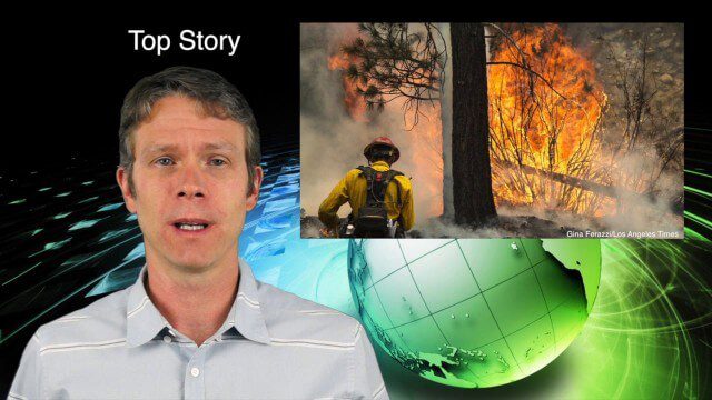
7_9 Earth Imaging Broadcast (California Fires, Drone Mayhem and More)
0 Views0 Comments0 Likes
This Earth Imaging-themed GeoSpatial Stream broadcast discusses the California Lake Fire and its mapping by satellites as well as amateur drone use that disrupted firefighting; NASA's work to develop drones with sense-and-avoid systems; satellite sensors using gravity to detect depleting groundwater basins; electromagnetic survey data for geology; industry news from Orbit Logic, 4D Mapper and Lockheed Martin; thoughts on amateur drone use; and more.
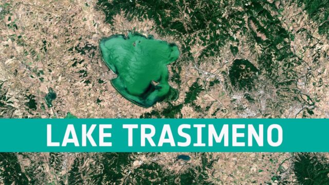
Earth from Space: Lake Trasimeno
0 Views0 Comments0 Likes
In this week's edition of the Earth from Space program, the Copernicus Sentinel-2 mission takes us over Lake Trasimeno, the fourth largest lake in Italy.

A Trip Through Time With Landsat 9
0 Views0 Comments0 Likes
For half a century, the Landsat mission has shown us Earth from space. Now, come along with us on a "roadtrip" through the decades to see how the technology on this NASA and U.S. Geological Survey partnership has evo...

Prescribed Forest Fire Frequency Should Be Based on Land Management Goals
0 Views0 Comments0 Likes
Researchers at the University of Missouri have studied forests subjected to different frequencies of fires to determine what effects fire can have on oak forests over long periods of time.

Valarm Interview at GeoDesign Summit
0 Views0 Comments0 Likes
Todd Danielson interviews a team from Valarm, including Lorenzo Gonzalez, CEO and Software Architect, and Edward Pultar, President and Spatial Scientist. They discuss the company's vision, its clients and how its software assimilates sensor information.
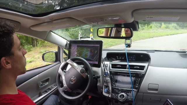
Self-Driving Cars for Country Roads
0 Views0 Comments0 Likes
A team from MIT's Computer Science and Artificial Intelligence Laboratory (CSAIL) developed a way for autonomous cars to read and anticipate their local surroundings rather than relying on gigabytes of 3D map data.
Listening to the Amazon: Tracking Deforestation Through Sound
0 Views0 Comments0 Likes
From space, parts of the Amazon rainforest that have previously been logged or burned may look lush and green, like a place buzzing with activity and full of sounds. But inside the rainforest, the animal life may tell...


