Category: Found on the Internet
Mapping an Asteroid with Lasers
0 Views0 Comments0 Likes
The OSIRIS-REx Laser Altimeter (OLA) will provide a three-dimensional map of asteroid Bennu’s shape, which will allow scientists to understand the context of the asteroid’s geography and the sample location. OLA is provided by the Canadian Space Agency in exchange for Canadian ownership of a portion of the returned asteroid sample. Credit: NASA’s Goddard Space flight Center/Katrina Jackson
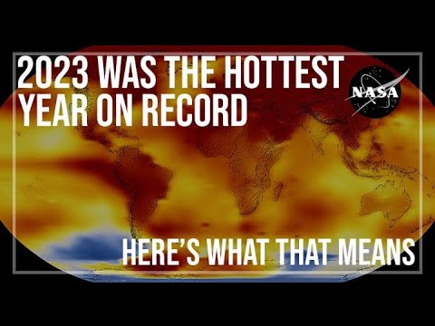
2023 Was the Hottest Year on Record
0 Views0 Comments0 Likes
2023 was Earth’s warmest year since 1880, and the last 10 consecutive years have been the warmest 10 on record. But why does NASA, a space agency, look at Earth’s temperature? And how do we even measure global tempera...
Measuring Forest Structure through a Lidar Lens
0 Views0 Comments0 Likes
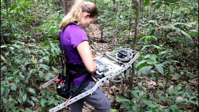
Companion video of a New Phytologist paper "Seasonal and drought related changes in leaf area profiles depend on height and light environment in an Amazon forest."
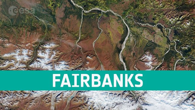
Earth from Space: Fairbanks, Alaska
0 Views0 Comments0 Likes
The Copernicus Sentinel-2 takes us over the city of Fairbanks in Alaska and its surroundings, in this edition of the Earth from Space program.
Hurricane Forecasts Rely on Modeling the Past
0 Views0 Comments0 Likes
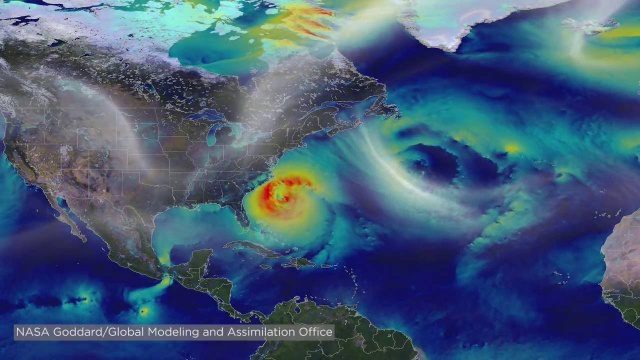
Improving hurricane forecasts means testing historical storms with today's sophisticated models and supercomputers. NASA and NOAA work together in gathering ground and satellite observations, as well as experimenting with research forecast models. As a result of this collaboration, model resolution has increased, and scientists are discovering more about the processes that occur within these powerful storms. The Global Precipitation Measurement (GPM) Mission is a joint NASA and Japan Aerospace Exploration Agency (JAXA) mission that measures all forms of precipitation around the globe. GPMs Microwave Imager, or GMI, has proven useful in seeing beneath the swirling clouds and into the structure of tropical cyclones. The information gathered by GPM and other missions will be used to improve forecast models.
Barton Corner Bridge Project
0 Views0 Comments0 Likes
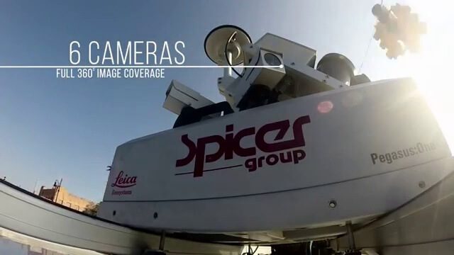
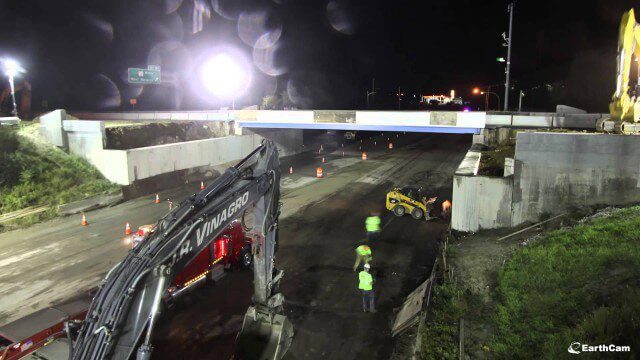
In August 2014 we completed replacement of the Barton Corner Bridge, which carries four lanes of I-95 plus two auxiliary lanes at a busy interchange with Route 2 on the Warwick/West Warwick line. Using accelerated bridge construction, we built two halves of the bridge on land adjacent to the overpass, and then moved them into place. This enabled us to build the bridge much faster compared with conventional construction methods, which would have taken twice the time. This approach also allowed us to do the work with no impact to Interstate traffic prior to installation.
Tracking Ocean Heat with Magnetic Fields
0 Views0 Comments0 Likes
Scientists at NASA’s Goddard Space Flight Center are developing a new way to use satellite observations of magnetic fields to measure heat stored in the ocean.
CORAL Probes Great Barrier Reef
0 Views0 Comments0 Likes
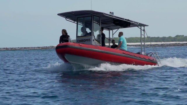
The three-year COral Reef Airborne Laboratory (CORAL) mission will survey a portion of the world's coral reefs to assess the condition of these threatened ecosystems and understand their relation to the environment, including physical, chemical and human factors.
Tom Zelibor State of Space 2022 Abbreviated Remarks
0 Views0 Comments0 Likes
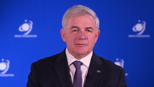
In an annual State of Space 2022 commentary and video, Thomas Zelibor, CEO of Space Foundation, a nonprofit advocate organization founded in 1983 for the global space ecosystem, speaks to business and government lead...


