


Category: Found on the Internet
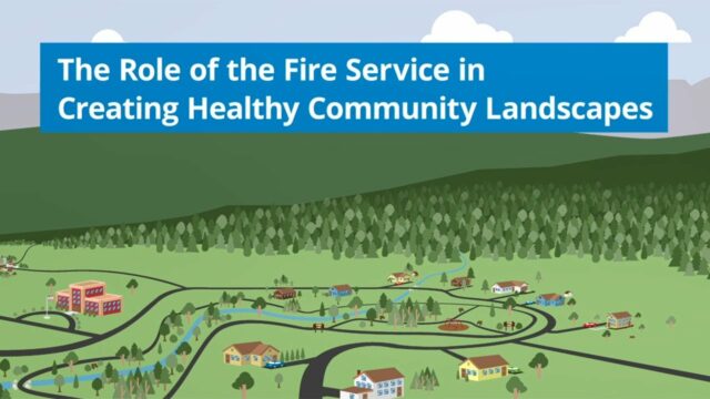
The Role of the Fire Service in Creating Healthy Community Landscapes
0 Views0 Comments0 Likes
The Wildland-Urban Interface is the zone of transition between unoccupied land and human development. It is the line, area, or zone where structures and other human develop meet or intermingle with undeveloped wildlan...
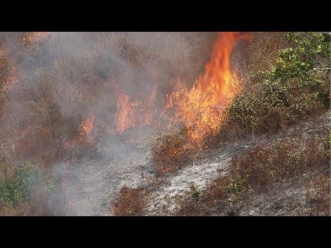
NASA and NOAA Take to the Air to Chase Smoke
0 Views0 Comments0 Likes
NASA, NOAA and university partners are taking to the skies, and the ground, to chase smoke from fires burning across the United States.
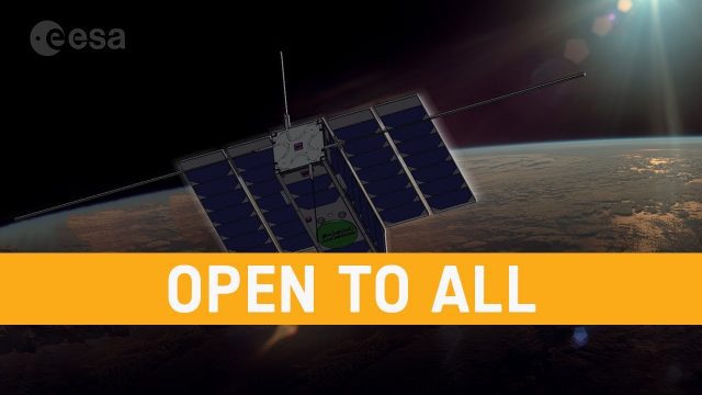
OPS-SAT: ESA’s Flying Lab, Open to All
0 Views0 Comments0 Likes
What would you do with a powerful computer based in space? At just 30 centimeters in height, OPS-SAT is a tiny CubeSat designed to serve as a large-scale software laboratory in orbit–containing one of the most powerfu...
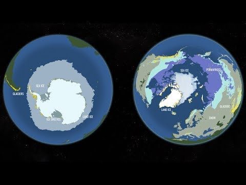
Two New Satellites Set to Study One of Earth’s Most Critically Changing Regions
0 Views0 Comments0 Likes
In 2018, NASA will intensify its focus on one of the most critical but remote parts of our changing planet with the launch of two new satellite missions and an array of airborne campaigns.

Why Attend Bentley Systems YII 2016
0 Views0 Comments0 Likes
This video from Bentley Systems shows highlights of the 2015 event and what attendees can expect if they convene in London in 2016.

Food Maps
0 Views0 Comments0 Likes
These food maps created by Caitlin Levin and Henry Hargreaves originally were inspired by a passion for travel. Exploring new places through the food you eat is often a portal to the cultural complexities of that place.
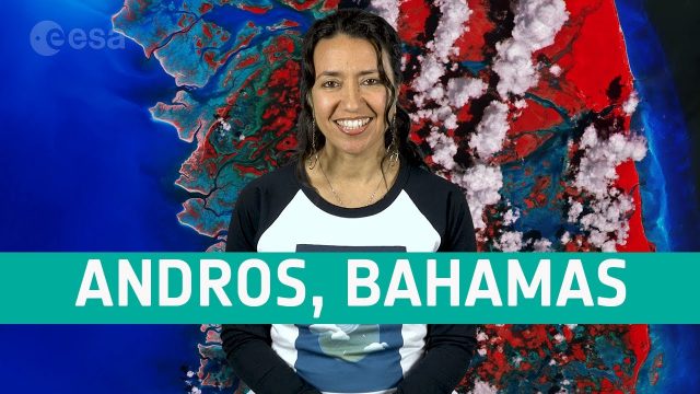
Earth from Space: Andros, Bahamas
0 Views0 Comments0 Likes
In this week's edition of the Earth from Space program, the Copernicus Sentinel-2 mission takes us over Andros, the largest island of the Bahamas.
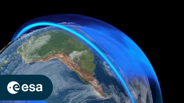
The Ozone Layer: A Hole New World
0 Views0 Comments0 Likes
In the 1980s, scientists discovered a gaping hole in Earth's ozone layer, caused by humanmade chemicals. But thanks to the historical Montreal Protocol, the world came together to take bold action to save our planet. ...
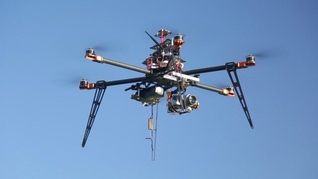
Drones for Aerial Survey and 3D Modelling Updated
0 Views0 Comments0 Likes
This video replaces an earlier upload demonstrating the extraction of 3D detail for buildings and/ or terrain from high resolution drone aerial photographs using photogrammetry and geo-referencing. This version includes high definition footage from a simulated autonomous circular aerial survey of an industrial asset, incorporating VidiAir's precision ground survey control points (significantly more accurate than Google Earth), EMF/ RF protection and laser range-finding with telemetry - an important consideration when flying in close proximity to structures/ obstacles, particularly in gusting winds.

First Interstellar Asteroid Wows Scientists
0 Views0 Comments0 Likes
Scientists were surprised and delighted to detect--for the first time--an interstellar asteroid passing through our solar system.


