Category: Found on the Internet
Earth from Space: Uruguay River Wetlands
0 Views0 Comments0 Likes
In this week's edition of the Earth from Space program, the Copernicus Sentinel-2B satellite takes us along the lower reaches of the Uruguay River.
The Rise of Elevation Data – What Is a DEM and Which Solution Is Best for You?
0 Views0 Comments0 Likes
The world exists in three dimensions and often, so does satellite imagery. But with so many types of Digital Elevation Models, each created via different collection and processing methods and sold in a variety of for...
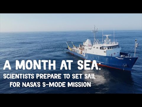
A Month at Sea: Scientists Prepare to Set Sail for NASA’s S-MODE Mission
0 Views0 Comments0 Likes
In early October, the research vessel Bold Horizon set sail from Newport, Oregon, and joined a small fleet of planes, drones, and other high-tech craft chasing the ocean’s shapeshifting physics. NASA’s Sub-Mesoscale O...
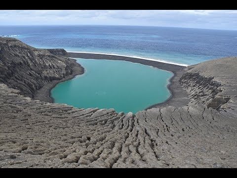
The Birth of a New Island
0 Views0 Comments0 Likes
The newly formed Tongan island, unofficially known as Hunga Tonga-Hunga Ha'apai after its neighbors, was initially projected to last a few months. Now it has a 6- to 30-year lease on life, according to a new NASA study.
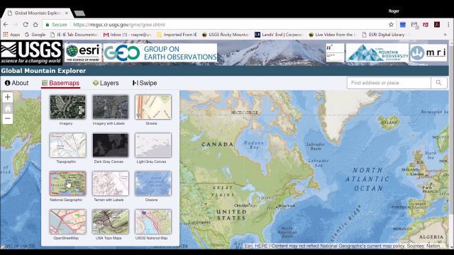
Global Mountain Explorer Video Tutorial
0 Views0 Comments0 Likes
This video contains a narrated introduction to the Global Mountain Explorer (GME), a web-based tool for visualizing and exploring three well known global mountain data layers.
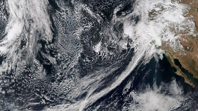
Recent Rains Drench California
0 Views0 Comments0 Likes
Recent rainfalls have drenched the state of California. Imagery from NASA satellites show the result of several atmospheric rivers, known as the Pineapple Express, which carry moisture from as far away as the Hawaiian Islands.
NASA Earth at Night
0 Views0 Comments0 Likes
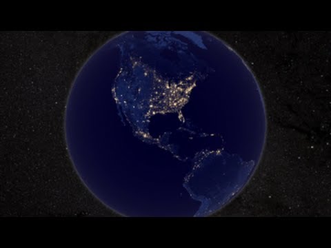
In daylight our big blue marble is all land, oceans and clouds. But the night - is electric. This view of Earth at night is a cloud-free view from space as acquired by the Suomi National Polar-orbiting Partnership Satellite (Suomi NPP).
Marina Militare – Hydrography explained to kids
0 Views0 Comments0 Likes
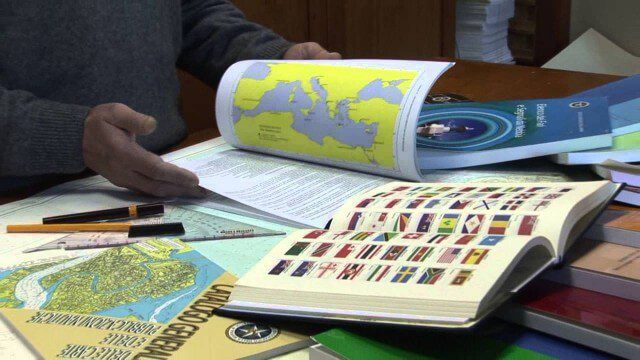
The Navy Hydrographic Institute is the Italian Cartographic Centre designated to the production of official national nautical documents.
Esri Business Summit: Axel Bedikyan, Cirque du Soleil
0 Views0 Comments0 Likes
Cirque du Soleil turned to ArcGIS when they needed to drive business results. This vibrant company known for its high quality entertainment feels the same care and attention to detail they put into their business is mirrored in Esri’s solutions.
Landing on a Comet – The Rosetta Mission
0 Views0 Comments0 Likes
After a 10-year journey of some seven billion kilometres, the Rosetta mission is now heading towards its next major milestone – setting the lander Philae on a comet. On 12 November 2014, a lander is scheduled to touch down on a comet for the first time in the history of spaceflight. “We don’t know exactly what awaits us there,” says lander Project Manager Stephan Ulamec from the German Aerospace Center (Deutsches Zentrum für Luft- und Raumfahrt; DLR).


