


Category: Found on the Internet
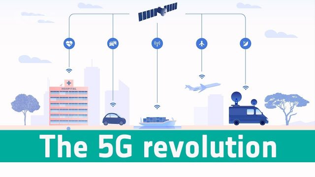
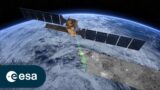
Space’s Part in the 5G Revolution
0 Views0 Comments0 Likes
We need satellites to ensure businesses and citizens can benefit smoothly from 5G.
Weather Forecasts Will Remain Reliable, Even with Climate Change
0 Views0 Comments0 Likes
Anthony Lupo, professor of atmospheric science at MU, found that even as carbon dioxide levels create a warmer climate, experts will still be able to predict weather patterns accurately.
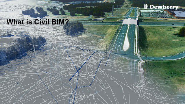
What is Civil BIM?
0 Views0 Comments0 Likes
Dewberry Civil Engineers Cody Pennetti and Meagan Judge, along with Senior Applications Specialist Cyndy Davenport, explain how site/civil engineers are using civil BIM to showcase complex information in a familiar way.
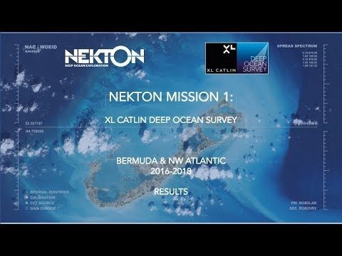
Nekton Mission I – Discovering the Rariphotic Zone
0 Views0 Comments0 Likes
Results from Nekton Mission I – the XL Catlin Deep Ocean Survey confirms the discovery of a new zone in the ocean, the Rariphotic Zone (Rare Light Zone) from 130 meters to 300 meters. The Rariphotic Zone is the fourth zone confirmed in the top 3,000 meters of the ocean, each defined by distinct biological communities living at different depths.
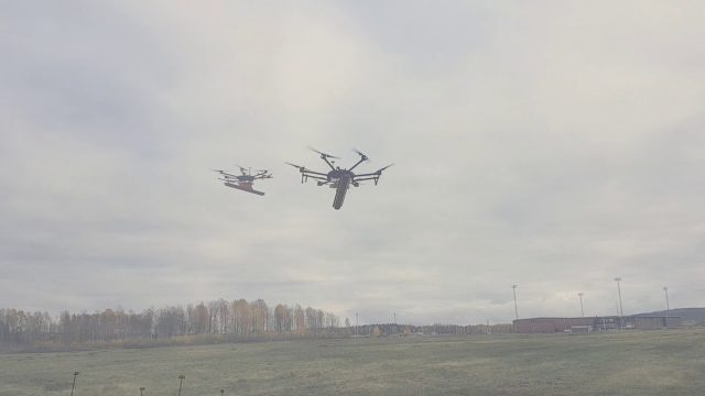
Drone With Ground Penetrating Radar (GPR)
0 Views0 Comments0 Likes
SPH Engineering and Radarteam Sweden AB completed combined tests of a drone equipped with ground-penetrating radar (GPR).
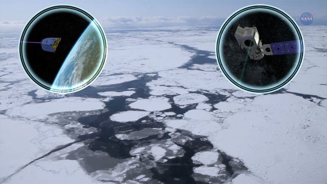
Cool Ways of Studying the Cryosphere
0 Views0 Comments0 Likes
NASA missions are helping scientists study the cryosphere: the many forms of ice found on Earth.
Reshuffling Heat on a Warming Planet
0 Views0 Comments0 Likes
Earth's oceans could be concealing a mystery about climate change. Researchers have recently found evidence of hidden heat hundreds of meters below the ocean's surface.
Gulf of Maine’s Phytoplankton Productivity Down 65%
0 Views0 Comments0 Likes
The Gulf of Maine is growing increasingly warm and salty, due to ocean currents pushing warm water into the gulf from the Northwest Atlantic, according to a new NASA-funded study. These temperature and salinity c...
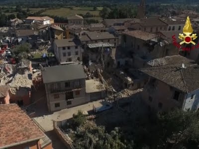
Drones Capture Italy’s Earthquake Scene
0 Views0 Comments0 Likes
Italian Prime Minister Matteo Renzi visited the site of an earthquake in Italy on Wednesday and pledged government support for the the affected area. Drone footage showed damage to buildings, some of which were completely reduced to rubble. (Aug. 24)
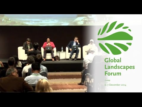
Making Forest Information Systems Work for REDD+ and Beyond
0 Views0 Comments0 Likes
Watch this discussion forum from the second day of the Global Landscapes Forum 2014, in Lima, Peru, during COP20. More and more countries have established and institutionalized sustainable, long-term and multi-purpose information systems in the context of REDD+ to support well-informed national policy formulation and decision making at different levels, and to meet national and international reporting needs. This panel discusses if they are used beyond estimating carbon stocks, how they improve global estimates and information, and how they can be most cost effective.


