Category: Found on the Internet
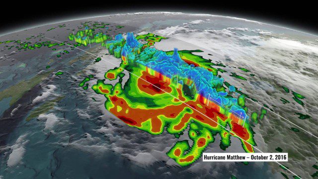
NASA’s 3D View Shows Hurricane Matthew’s Intensity
0 Views0 Comments0 Likes
NASA scientists used satellite data to peer into Hurricane Matthew, learning how and why the massive storm changed throughout its course.
Read a Map and Use a Compass
0 Views0 Comments0 Likes
Simon King and Ordnance Survey provide basic instruction on map and compass use.
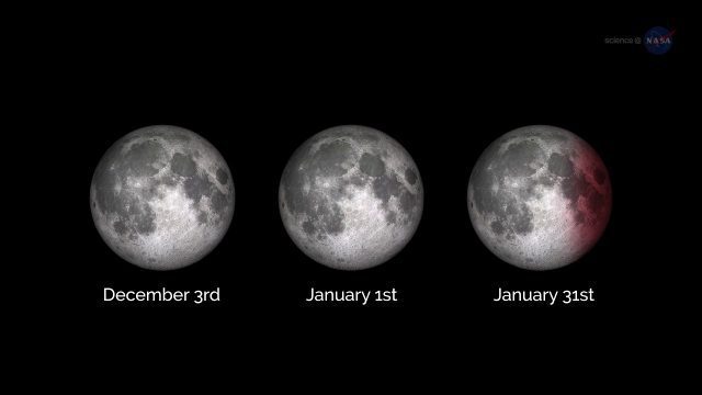
ScienceCasts: A Supermoon Trilogy
0 Views0 Comments0 Likes
A series of three supermoons will appear on the celestial stage on Dec. 3, 2017, Jan. 1, 2018, and Jan. 31, 2018.
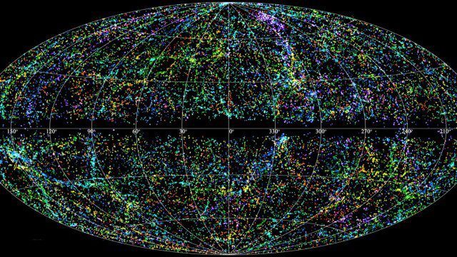
“Mapping the Universe” with Daniel Eisenstein
0 Views0 Comments0 Likes
Galaxies are not scattered randomly throughout the universe. Instead, they group into stringy filaments that span hundreds of millions of light-years. How did such structure evolve from the bland primordial soup that followed the Big Bang? New clues are coming from an ambitious mapping project, the Sloan Digital Sky Survey, which has measured the distance to galaxies halfway across the observable universe. Daniel Eisenstein is director of the Sloan Digital Sky Survey III (SDSS-III) and a member of the National Academy of Sciences.
Earth from Space: Ganges Delta
0 Views0 Comments0 Likes
This week's edition of the Earth from Space program explores the Ganges Delta, the world’s largest river delta, with Copernicus Sentinel-3.
Map Survey (1965)
0 Views0 Comments0 Likes
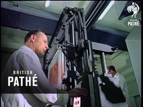
"Britain is the world's greatest map making country" announces the narrator. Various shots of maps being crafted. Large optical devices are used - a camera "as big as a fair sized room" is used to take photographs of the maps. We are at the Ordnance Survey Commission headquarters. Various shots of technicians looking at the large photographs.
NASA Rainfall Data and Global Fire Weather
0 Views0 Comments0 Likes
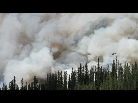
The Global Fire WEather Database (GFWED) integrates different weather factors influencing the likelihood of a vegetation fire starting and spreading.
Melting Ice and Rising Seas
0 Views0 Comments0 Likes
As the planet warms and glaciers and polar ice caps melt, the icy world is fast disappearing, says Julian Dowdeswell from the University of Cambridge. He asks how do we deal with rising sea levels and a changing Arctic?
Software Aids Stormwater and Sewage Infrastructure Design
0 Views0 Comments0 Likes
Urbano software is used for the design of sewage and water distribution networks. Urbano Canalis is the module used for design of storm and sanitary sewage systems. You can create complete storm and sanitary sewage system designs, starting from the initial network definition to the analysis of hydraulic results.
Kids Making Sense Environment Mapping
0 Views0 Comments0 Likes


