Category: Found on the Internet
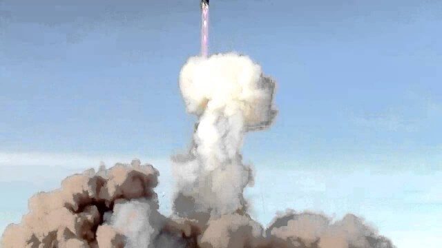
Successful Dnepr Launch on Nov. 21, 2013
0 Views0 Comments0 Likes
Destination Low Earth Orbit
0 Views0 Comments0 Likes
ESA astronaut Andreas Mogensen narrates this video on the inspiring endeavours of human spaceflight and how it changes our daily lives.
USGS LandCarbon Viewer Tutorial
0 Views0 Comments0 Likes
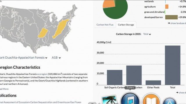
This video, narrated by USGS scientist Brad Reed, provides a brief tutorial on the use of the USGS LandCarbon Viewing tool.
Are Hurricanes Getting Stronger? We Asked a NASA Scientist
0 Views0 Comments0 Likes
Are hurricanes getting stronger? Although we’ll never see a Category 6 hurricane, data does show that more hurricanes are becoming more severe. Hurricane and climate expert Mara Cordero-Fuentes of NASA's Goddard Space...
GEOSS Functions and Main Components
0 Views0 Comments0 Likes
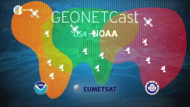
Infrastructure and Data: The Global Earth Observation System of Systems (GEOSS) functions and main components, sustainability, user access and benefits.
Kīlauea Volcano’s Lower East Rift Zone
0 Views0 Comments0 Likes
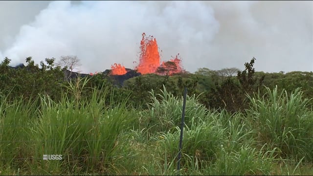
This video from May 21, 2018, shows how splashing and spattering lava builds cones around fissure sites in Kīlauea Volcano's lower East Rift Zone.
Happy GIS Day 2019: A Message from Jack Dangermond
0 Views0 Comments0 Likes
Jack Dangermond wishes the world a happy GIS Day 2019. Jack thanks all the event organizers and participants and explains the importance of their events in this 20th year celebration of GIS.
ExoMars – A Promising Future
0 Views0 Comments0 Likes
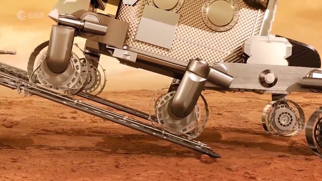
2016 has been an eventful and promising year for ESA’s ExoMars mission. After successfully placing the Trace Gas Orbiter into Mars’ orbit on Oct. 19, the orbiter has sent back its first images, tested its instruments and performed in orbit calibration measurements and health checks.
Earth 360 Video: The Call of Science
0 Views0 Comments0 Likes
Join NASA Earth scientists for a 360-degree view of our planet as they head into the field to study ice in Greenland and coral reefs in Hawaii.
The London Evolution Animation
0 Views0 Comments0 Likes
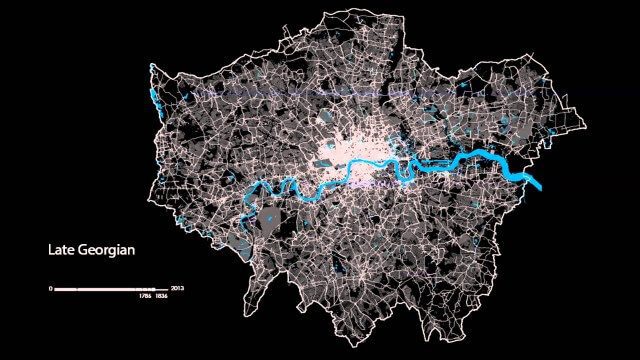
The London Evolution Animation (LEA) shows the historical development of London from Roman times to today, using georeferenced road network data brought together for the first time. The animation also visualizes (as enlarging yellow points) the position and number of statutorily protected buildings and structures built during each period.


