


Category: Found on the Internet

Making Forest Information Systems Work for REDD+ and Beyond
0 Views0 Comments0 Likes
Watch this discussion forum from the second day of the Global Landscapes Forum 2014, in Lima, Peru, during COP20. More and more countries have established and institutionalized sustainable, long-term and multi-purpose information systems in the context of REDD+ to support well-informed national policy formulation and decision making at different levels, and to meet national and international reporting needs. This panel discusses if they are used beyond estimating carbon stocks, how they improve global estimates and information, and how they can be most cost effective.

Corridor Mapping in Germany
0 Views0 Comments0 Likes
Above Highway A33, the mdMapper1000DG was tasked with creating a point cloud and orthophoto of a 12 kilometer stretch of the Autobahn.

ESA and Epic Games Develop Lunar Horizons for Fortnite
0 Views0 Comments0 Likes
Lunar Horizons: The story behind the making of the ESA X Epic Games collaboration. CREDIT © 2024 Epic Games, Inc. All rights reserved. Epic, Epic Games, the Epic Games logo, Unreal, Unreal Engine, UE5, t...
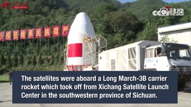
China Launches Two BeiDou-3 Navigation Satellites
0 Views0 Comments0 Likes
China launched two BeiDou-3 satellites into space via a single carrier rocket to support its global navigation and positioning network at 7:45 p.m. on Nov. 5, 2017.
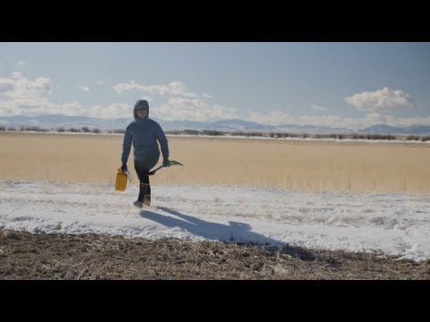
Video: Snow Scientists in the Windswept Montana Prairie
0 Views0 Comments0 Likes
NASA’s SnowEx ground and airborne campaign is a multiyear effort using a variety of techniques to study snow characteristics, and the team began their new field study year in January 2021.
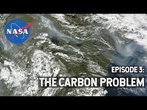
NASA Explorers S3 E3: The Carbon Problem
0 Views0 Comments0 Likes
In the Arctic, fires are a natural part of the ecosystem. But as the climate changes, fires are burning longer and hotter, releasing long-buried carbon from the soil.
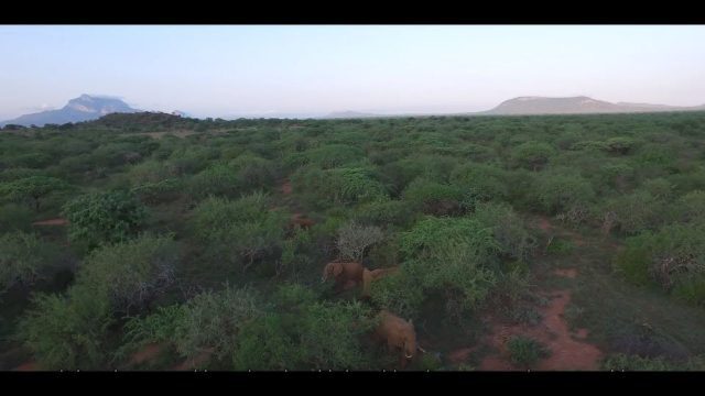
Wildlife Works Kasigau Corridor REDD+ Project, Kenya
0 Views0 Comments0 Likes
Founded in 1997, Wildlife Works has been a pioneer in market based solutions for conservation for 21 years.
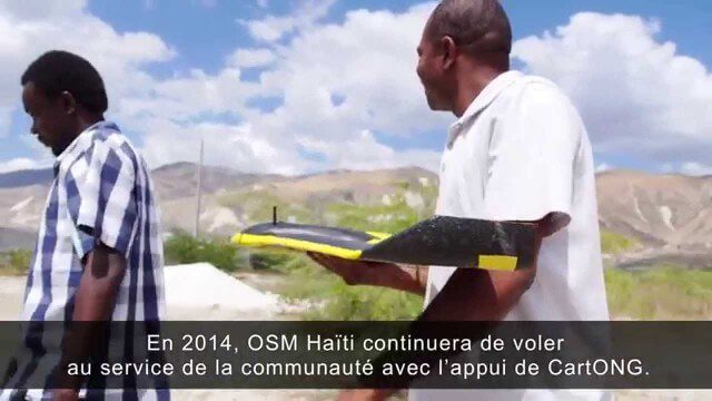
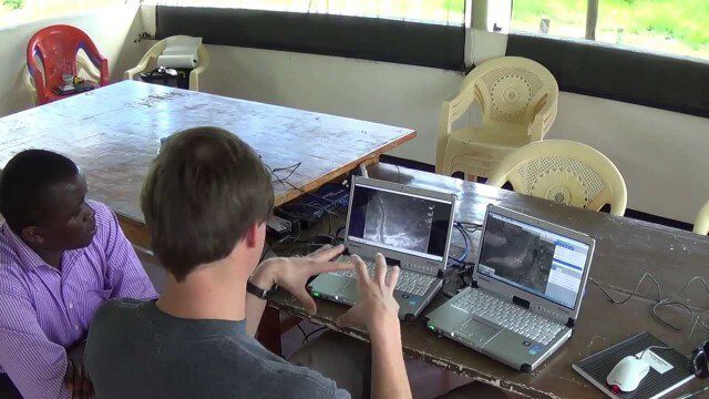
Drone Mapping Haiti (French)
0 Views0 Comments0 Likes
Poachers Beware: Airware Demonstrates a Drone to Protect African Rhinos
0 Views0 Comments0 Likes

How Joint Intelligence, Surveillance and Reconnaissance Works
0 Views0 Comments0 Likes
NATO continues to develop key capabilities to protect the security and freedom of its members. Joint Intelligence, Surveillance and Reconnaissance (JISR) is one of these capabilities. It is a combination of processes, systems, and people, including air, ground, maritime, and space assets, which feed into one “fused” report.


