Category: Found on the Internet
Earth from Space: Lesotho
0 Views0 Comments0 Likes
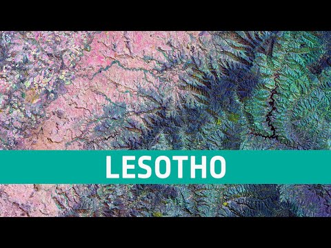
In this week's edition of the Earth from Space program, the Copernicus Sentinel-2 mission takes us over northwest Lesotho, a small, land-locked country surrounded entirely by South Africa. Credit: ESA - European S...
NASA NIMBUS: Recovering the Past
0 Views0 Comments0 Likes
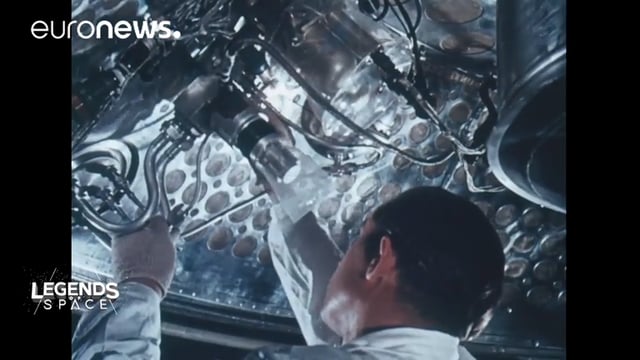
50 years ago, NASA launched Nimbus to study Earth from space. Now, experts at the National Snow and Ice Data Center (part of CIRES), are recovering valuable data and images from old, long-lost film, and expanding their understanding of sea ice in the Arctic and Antarctic. Learn more from CIRES on the 1-year anniversary of Nimbus' first image:
60 Years Since Sputnik
0 Views0 Comments0 Likes
Sixty years ago, Sputnik became the first satellite in space and changed the world forever. Launched by the Soviet Union on Oct. 4, 1957, this shiny orb kick-started the space race, and opened up the heavens for mankind to explore.
Earth 360 Video: The Call of Science
0 Views0 Comments0 Likes
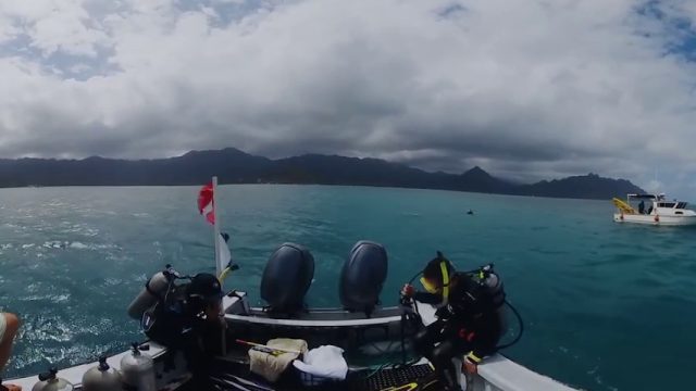
Join NASA Earth scientists for a 360-degree view of our planet as they head into the field to study ice in Greenland and coral reefs in Hawaii.
How Will Space Transform the Global Food System?
0 Views0 Comments0 Likes
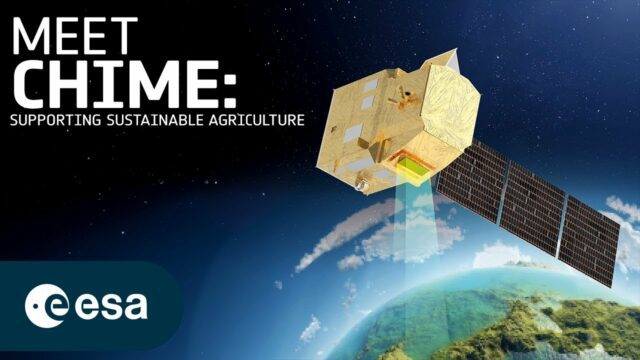
According to the Food and Agriculture Organization (FAO), global agricultural production will need to increase by 60% by 2050 to meet the food demands of the growing global population. A new satellite called Copernicu...
Everything that Happens, Happens Somewhere
0 Views0 Comments0 Likes
As our planet is becoming more crowded, the demand for diminishing natural resources is growing. Income gaps are widening,and people are being left behind. Geographic location -- and information about these locations – shows us where social, environmental and economic conditions occur. Reliable and authoritative geographic information provides the framework for measuring, monitoring and achieving the sustainable development goals, improving people’s lives and protecting the planet. The United Nations initiative on Global Geospatial Information Management (UN-GGIM) aims at playing a leading role in setting the agenda for the development of global geospatial information and to promote its use to address key global challenges. It provides a forum to liaise and coordinate among Member States, and between Member States and international organizations.
Maker Trailer: A Documentary on the Maker Movement
0 Views0 Comments0 Likes
"Maker" is a feature-length documentary that looks into the current maker movement in America -- a new wave of Do-It-Yourself and Do-It-Together fueled by passion and powered by the advent of new technologies. The "Maker Movement", sometimes called the "Third Industrial Revolution," subverts traditional manufacturing by building on innovative concepts such as open source, local manufacturing, crowd funding, and digital fabrication. Breaking the hobbyist movement stereotype, "Maker" delves deep into this ecosystem of design and manufacturing in the Internet era. The film explores the ideas, tools, and personalities that are driving the Maker Movement -- and returns with a timely snapshot of one of the transforming influences of the current age.
Earth from Space: Flevoland
0 Views0 Comments0 Likes
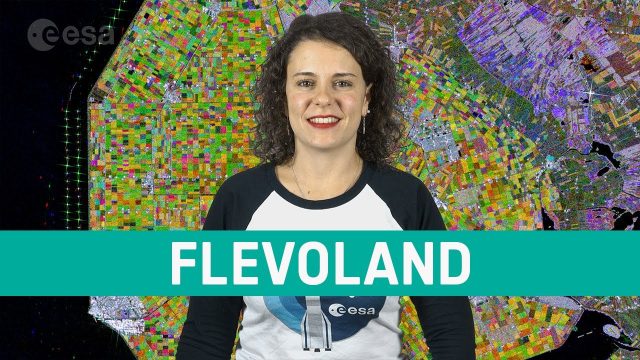
In this week's edition of the Earth from Space program, the Copernicus Sentinel-1 mission takes us over part of the Dutch province of Flevoland–the newest province in the Netherlands and one of the largest land reclamation projects in the world.
Copernicus Sentinel-6 In Action
0 Views0 Comments0 Likes
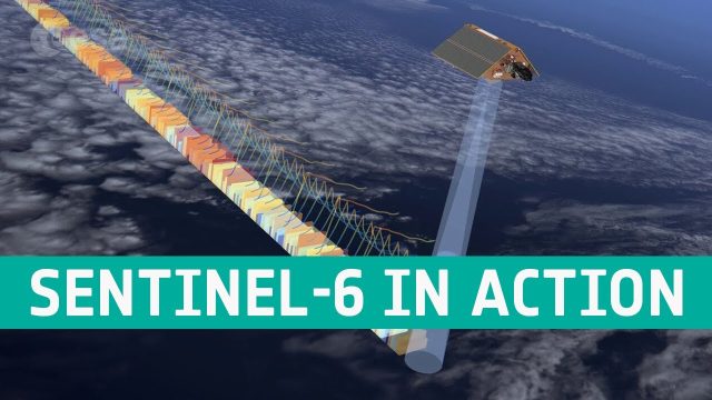
The Copernicus Sentinel-6 Poseidon-4 dual-frequency (C- and Ku-band) radar altimeter uses an innovative interleaved mode that has improved performance compared to previous satellite altimeter designs. The Sentinel...
Landsat: Farming Data From Space
0 Views0 Comments0 Likes
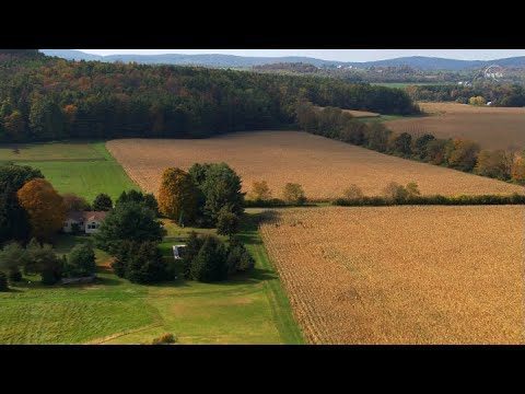
NASA's fleet of satellites has been watching over Earth for more than half a century, collecting valuable data about the crops that make up our food supply and the water it takes to grow them. This wealth of information allows scientists to monitor farmland—tracking the overall food supply, where specific crops are grown, and how much water it takes to grow them with data from the Landsat satellites and others


