


Category: Found on the Internet
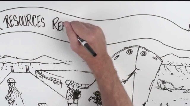
Whiteboard: How to Reform Water Infrastructure
0 Views0 Comments0 Likes
The Water Resources Reform and Development Act (WRRDA) of 2013 promotes our Nation's competitiveness, prosperity, and economic growth by upholding the seminal federal responsibility to maintain a strong transportation infrastructure and ensure the efficient flow of domestic and international commerce.
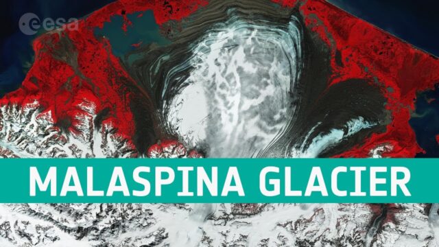
Earth from Space: The Moraines of Malaspina
0 Views0 Comments0 Likes
In this week’s edition of the Earth from Space program, we take a look at the remarkable moraine patterns of Malaspina Glacier – the largest piedmont glacier in the world – through the eyes of Copernicus Sentinel-...
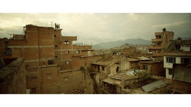
Crisis Mapping in Nepal
0 Views0 Comments0 Likes
On the 25th of April, Nepal was hit by the worst earthquake the small, mountainous country had ever seen. Leaving thousands dead and hundreds of thousands displaced, the Ghorka Earthquake as it would become known, uprooted not only cities and villages, but homes and families that had existed in the mountains for centuries. So what could we do to help? Teaming up with with Humanitarian UAV Network “UAViators”, Open Street Map specialists “Kathmandu Living Labs”, 3D Mapping organization, “Pix4D”, smartphone manufacturer “Smartisan” and Kathmandu University, DJI got to work on a plan, a plan that drew together some of the best and brightest of the UAV industry for a life-changing experience.
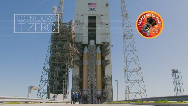
Flying Faster, Hotter and Closer Than Ever to the Sun
0 Views0 Comments0 Likes
NASA's Parker Solar Probe and its United Launch Alliance Delta IV Heavy launch vehicle prepare for an unprecedented mission to "kiss the Sun."
Stanford-Developed Technology Could Help Prevent Wildfires
0 Views0 Comments0 Likes
A new technology developed by Stanford engineers promises a way to prevent a significant percentage of wildfires and drastically reduce the cost of fighting them.
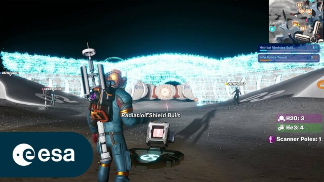
ESA and Epic Games Develop Lunar Horizons for Fortnite
0 Views0 Comments0 Likes
Lunar Horizons: The story behind the making of the ESA X Epic Games collaboration. CREDIT © 2024 Epic Games, Inc. All rights reserved. Epic, Epic Games, the Epic Games logo, Unreal, Unreal Engine, UE5, t...
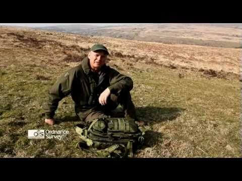
Read a Map and Use a Compass
0 Views0 Comments0 Likes
Simon King and Ordnance Survey provide basic instruction on map and compass use.
Tracking Carbon from Wildfires to Ocean Blooms
0 Views0 Comments0 Likes
Between September 2019 and March 2020, wildfires killed billions of animals and decimated more than 200 thousand square kilometers of Australian forest, an area larger than Nebraska. Later, thousands of kilometers awa...
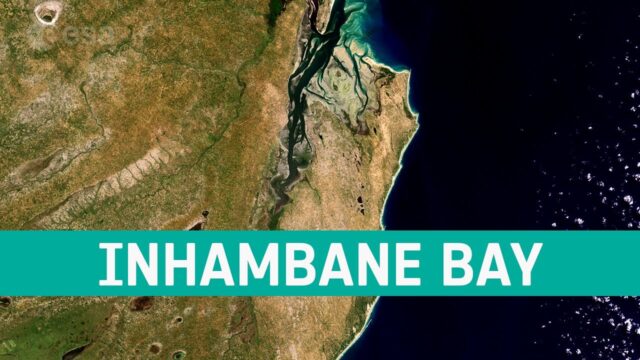
Earth from Space: Inhambane Bay
0 Views0 Comments0 Likes
In this week’s edition of the Earth from Space program, the Copernicus Sentinel-2 mission takes us over Inhambane Bay, in southeast Mozambique.
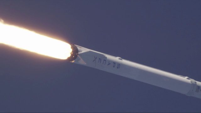
SpaceX Falcon 9 Liftoff with TESS
0 Views0 Comments0 Likes
A Falcon 9 rocket lifts off at 6:51 p.m. EDT from Space Launch Complex 40 at Cape Canaveral Air Force Station carrying NASA's Transiting Exoplanet Survey Satellite (TESS).


