


Category: Found on the Internet

NASA Intro to LIDAR
2.30K Views0 Comments0 Likes
Want to know the 3D shape of terrain on another planet? Want to study the height and density of Earth's forests? An amazing tool called LIDAR can help! Learn more in this video.
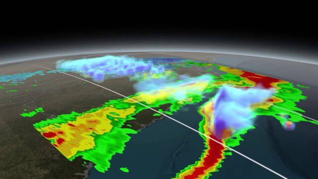
NASA Scanning a Snow Storm
2.30K Views0 Comments0 Likes
On March 17, 2014, the Global Precipitation Measurement (GPM) mission's Core Observatory flew over the East coast's last snow storm of the 2013-2014 winter season.

NASA NIMBUS: Recovering the Past
2.30K Views0 Comments0 Likes
50 years ago, NASA launched Nimbus to study Earth from space. Now, experts at the National Snow and Ice Data Center (part of CIRES), are recovering valuable data and images from old, long-lost film, and expanding their understanding of sea ice in the Arctic and Antarctic. Learn more from CIRES on the 1-year anniversary of Nimbus' first image:
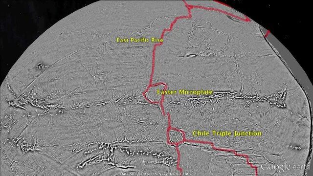
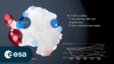
Draining the Ocean Basins with CryoSat-2
2.28K Views0 Comments0 Likes
This is the supplementary video for the scientific article "New global marine gravity model from CryoSat-2 and Jason-1 reveals buried tectonic structure". The full paper is available at: sciencemag.org/content/346/6205/65
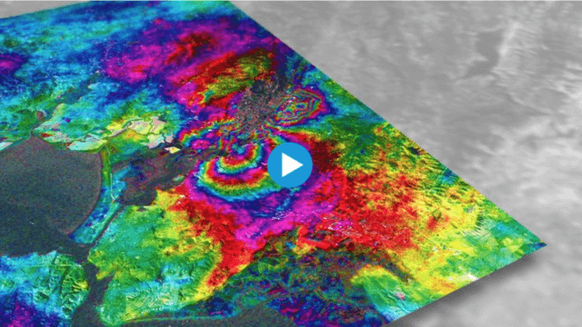
Earthquake Monitoring with Radar Satellites
2.25K Views0 Comments0 Likes
Radar satellite missions can measure millimetre-scale changes in Earth’s surface following an earthquake. On 24 August 2014, an earthquake struck California’s Napa Valley. By processing two images from the Sentinel-1A radar satellite, which were acquired on 7 August and 31 August 2014 over this wine-producing region, an 'interferogram' was generated showing ground deformation.
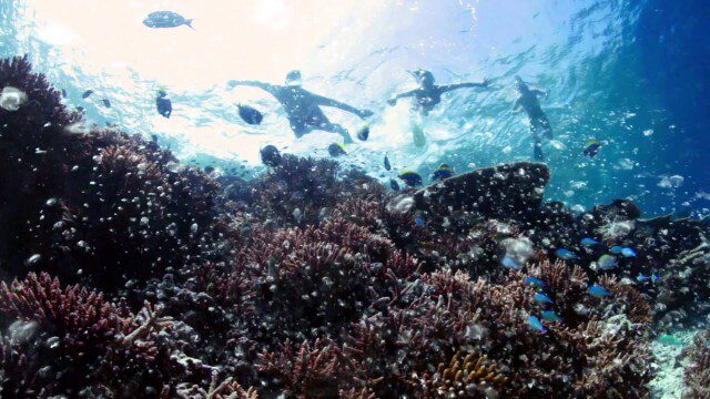
Help Protect Our Ocean
2.23K Views0 Comments0 Likes
Whether you live on the coast or hours from the closest beach, we all depend on the ocean. The ocean is critical to maintaining life on Earth, contributing to our livelihoods and our well-being. Yet, the ocean is facing significant challenges, such as unsustainable fishing practices, marine pollution, and ocean acidification. The good news is that there are solutions.
NASA | WATER FALLS Movie Trailer
2.22K Views0 Comments0 Likes
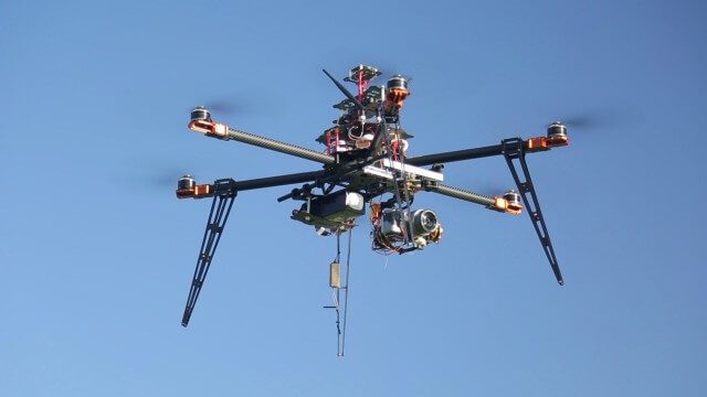
Drones for Aerial Survey and 3D Modelling Updated
2.20K Views0 Comments0 Likes
This video replaces an earlier upload demonstrating the extraction of 3D detail for buildings and/ or terrain from high resolution drone aerial photographs using photogrammetry and geo-referencing. This version includes high definition footage from a simulated autonomous circular aerial survey of an industrial asset, incorporating VidiAir's precision ground survey control points (significantly more accurate than Google Earth), EMF/ RF protection and laser range-finding with telemetry - an important consideration when flying in close proximity to structures/ obstacles, particularly in gusting winds.
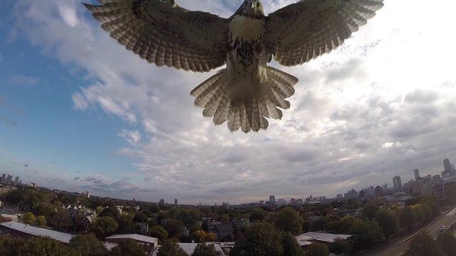
Hawk Attacks a Drone
2.20K Views0 Comments0 Likes
A hawk is recorded attacking (and defeating) an aerial drone.
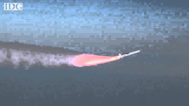
How DARPA Is Planning Fast, Cheap Satellite Launches
2.20K Views0 Comments0 Likes
Called the Airborne Launch Assist Space Access or ALASA program, it would be able to send satellites weighing 100 pounds or less into low-Earth orbit within 24 hours for less than $1 million per launch.


