


Category: Found on the Internet
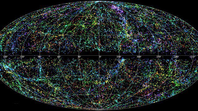
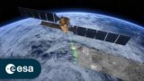
“Mapping the Universe” with Daniel Eisenstein
0 Views0 Comments0 Likes
Galaxies are not scattered randomly throughout the universe. Instead, they group into stringy filaments that span hundreds of millions of light-years. How did such structure evolve from the bland primordial soup that followed the Big Bang? New clues are coming from an ambitious mapping project, the Sloan Digital Sky Survey, which has measured the distance to galaxies halfway across the observable universe. Daniel Eisenstein is director of the Sloan Digital Sky Survey III (SDSS-III) and a member of the National Academy of Sciences.
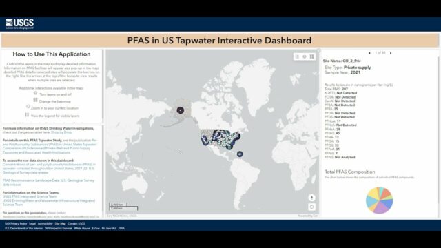
Explore the Risk of PFAS in Local Tap Water
0 Views0 Comments0 Likes
U.S. Geological Survey scientists created an interactive map to help the public better understand their risk of exposure to PFAS, also known as “forever chemicals.” This interactive tool allows you to view data from a...
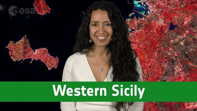
Earth from Space: Western Sicily
0 Views0 Comments0 Likes
In this week's edition of the Earth from Space program, the Copernicus Sentinel-2A satellite takes us over western Sicily and the islands of Favignana and Levanzo in Italy.
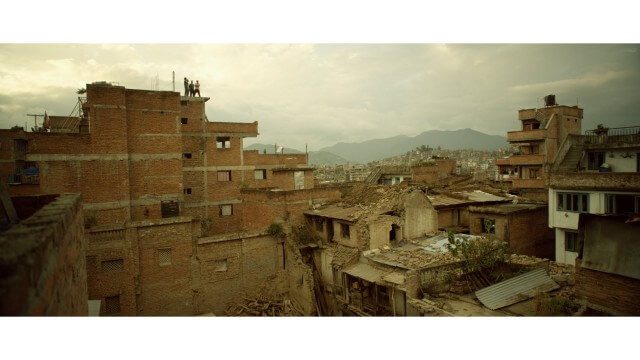
Crisis Mapping in Nepal
0 Views0 Comments0 Likes
On the 25th of April, Nepal was hit by the worst earthquake the small, mountainous country had ever seen. Leaving thousands dead and hundreds of thousands displaced, the Ghorka Earthquake as it would become known, uprooted not only cities and villages, but homes and families that had existed in the mountains for centuries. So what could we do to help? Teaming up with with Humanitarian UAV Network “UAViators”, Open Street Map specialists “Kathmandu Living Labs”, 3D Mapping organization, “Pix4D”, smartphone manufacturer “Smartisan” and Kathmandu University, DJI got to work on a plan, a plan that drew together some of the best and brightest of the UAV industry for a life-changing experience.
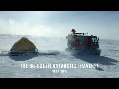
88-South Antarctic Traverse: Year Two
0 Views0 Comments0 Likes
The 470-mile expedition in one of the most barren landscapes on Earth provides the best means of assessment of the accuracy of data collected from space by the Ice Cloud and land Elevation Satellite-2 (ICESat-2).
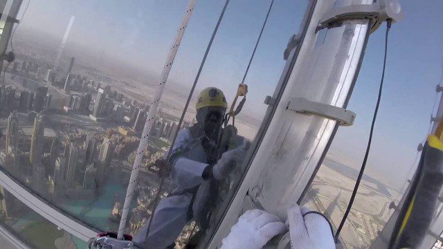
The LED Exterior Facade of Burj Khalifa Uncovered
0 Views0 Comments0 Likes
Facts uncovered by a dedicated team of specialized engineers. All you need to know about the largest LED screen in the world covering the world's tallest tower's facade.
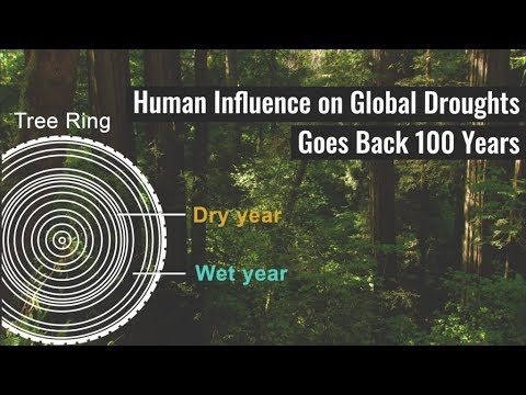
Human Influence on Global Droughts Goes Back 100 Years
0 Views0 Comments0 Likes
Human-generated greenhouse gases and atmospheric particles were affecting global drought risk as far back as the early 20th century, according to a study from NASA's Goddard Institute for Space Studies (GISS) in New York City.
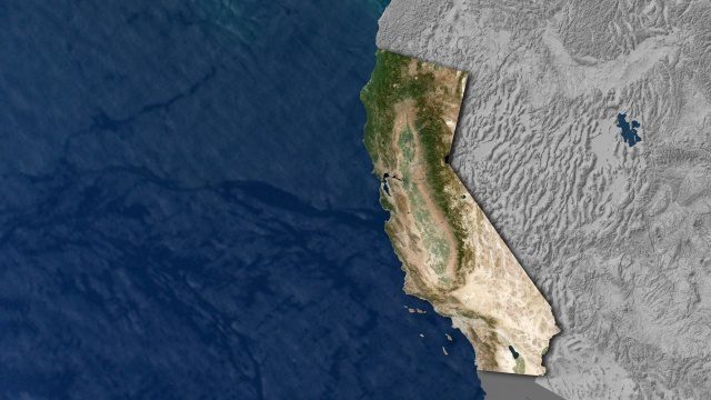
Open California: Our Data, Your Creativity
0 Views0 Comments0 Likes
We're releasing our growing California archive under an a CC BY-SA license. Join our community of image analysts, scientists, developers, and researchers: https://www.planet.com/open-california/
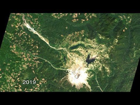
40 Years of Watching Mount St. Helens
0 Views0 Comments0 Likes
Both before and after the eruption, Landsat satellites were taking regular observations of the area, and their data is being used to study how forests recover from a very large disturbance.

Food Maps
0 Views0 Comments0 Likes
These food maps created by Caitlin Levin and Henry Hargreaves originally were inspired by a passion for travel. Exploring new places through the food you eat is often a portal to the cultural complexities of that place.


