
Browse Archives
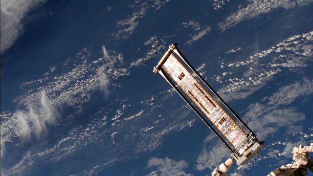
ROSA Deploys on International Space Station
0 Views0 Comments0 Likes
The Roll-Out Solar Array (ROSA) was deployed from the end of the Canadarm2 robotic arm Sunday, June 18 outside the International Space Station.
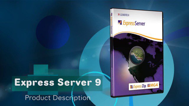
LizardTech’s Express Server 9
0 Views0 Comments0 Likes
Jon Skiffington, director of Product Management for LizardTech, describes and demonstrates the latest features and additions to the company's Express Server 9 product, "the fastest, most stable, and easiest way to distribute compressed, high-resolution raster imagery via standard protocols."
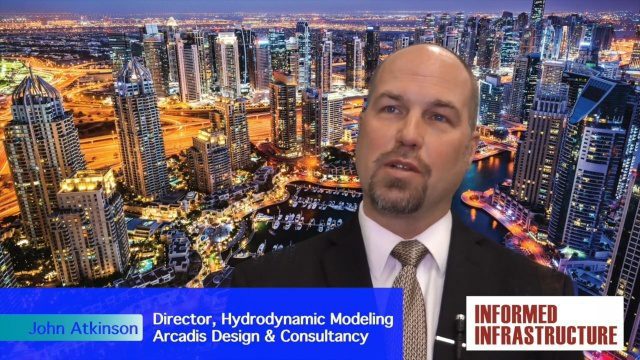
Arcadis Engineers Tackle Rising Seas and Drainage Systems
0 Views0 Comments0 Likes
The V1 Video team spoke with John Atkinson, Director, Hydrodynamic Modeling, Arcadis, at the company's office near Denver. The conversation covered Arcadis' Dutch heritage, engineering for rising sea levels, stormwater drainage, new models and data, and the company's commitment to open-source technology.
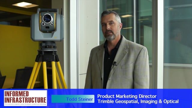
Trimble SX10 Scanning Total Station Brings “Both Worlds” to Surveyors
0 Views0 Comments0 Likes
Informed Infrastructure and V1 Media interviewed Todd Steiner, Product Marketing Director, Trimble Geospatial, Imaging & Optical Division, at the corporate launch of the company's new SX10 scanning total station. He discussed how combining a laser scanner with a total station is expected to be a "game changer" for surveyors who will no longer need to decide on one or the other technology before heading to the field.
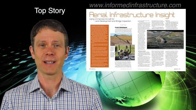
4_7 Infrastructure Broadcast (Drones, Funding and More)
0 Views0 Comments0 Likes
This Infrastructure-themed GeoSpatial Stream broadcast discusses how drone/UAS/UAV technology is being adopted in infrastructure projects worldwide; state transportation funding; the development of transparent wood; industry news from CINTEC, Trimble, IMAGINiT, SmarterBetterCities and Siteco; a video from the Construction Climate Talks series; and more.
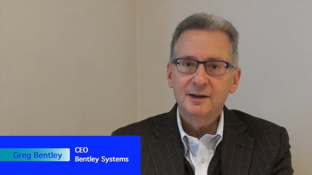
Greg Bentley Interview Part 2: Lifecycle Management, Productizing Services and Tech Uptake in Construction
0 Views0 Comments0 Likes
Informed Infrastructure interviewed Greg Bentley, the CEO of Bentley Systems, at the Year In Infrastructure Event held Nov. 1-3, 2017, at the Hilton London Metropole. In Part 2 of this interview, he discusses the importance of lifecycle management and the "productizing" of services as well as his thoughts on the slow uptake of technology in construction and how it can be overcome.
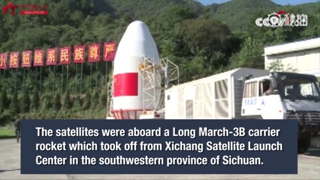
China Launches Two BeiDou-3 Navigation Satellites
0 Views0 Comments0 Likes
China launched two BeiDou-3 satellites into space via a single carrier rocket to support its global navigation and positioning network at 7:45 p.m. on Nov. 5, 2017.
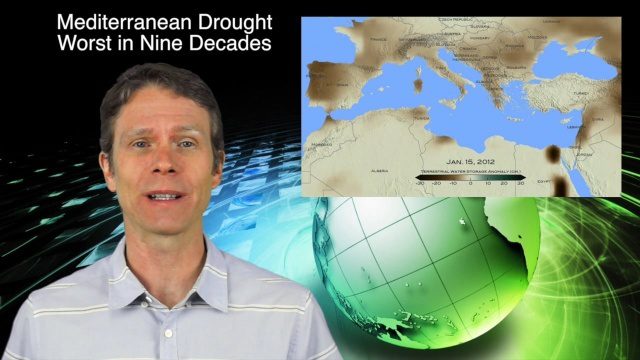
3_24 Climate Change Broadcast (Forest Recovery, Drought and More)
0 Views0 Comments0 Likes
This GeoSpatial Stream broadcast discusses several aspects of climate change, including how forests help regulate the environment and two studies that indicate recent regrowth; a USGS-led working group on ecological drought; surprisingly high levels of a banned ozone-depleting chemical; the largest Mediterranean drought in 900 years; industry news from TerraGo, Mapillary and Esri; a NASA video of one of its forest-monitoring projects; and more.
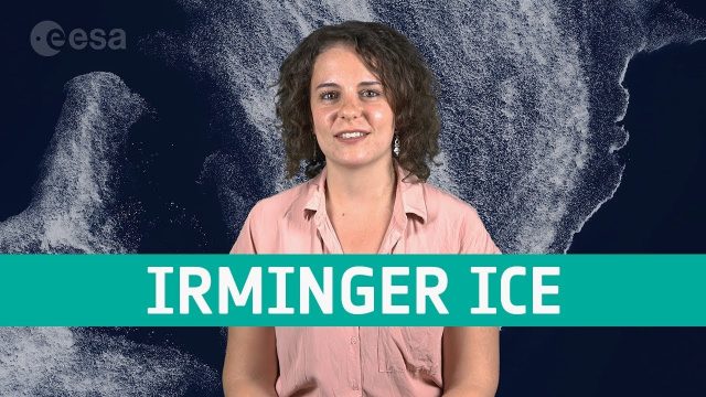
Earth from Space: Irminger Sea Ice Swirl
0 Views0 Comments0 Likes
Copernicus Sentinel-2 takes us over fragments of swirling sea ice off the coast of Greenland, in this week's edition of the Earth from Space program.
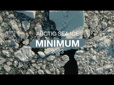
Arctic Sea Ice Hits Annual Minimum, Antarctic Sets New Record
0 Views0 Comments0 Likes
Arctic sea ice likely reached its annual minimum extent on Sept. 19, 2023, making it the sixth-lowest year in the satellite record, according to researchers at NASA and the National Snow and Ice Data Center (NSIDC). M...


