
Browse Archives
Joe Minicozzi Underscores Financial Consequences at the Geodesign Summit
0 Views0 Comments0 Likes
Joe Minicozzi is the principal of the econometric consulting firm Urban3 (U3), which looks at the financial aspects and consequences of urban design choices. On behalf of V1 Media, Informed Infrastructure and GeoSpatial Stream, Todd Danielson interviewed Minicozzi at the Geodesign Summit 2015 in Redlands, Calif.
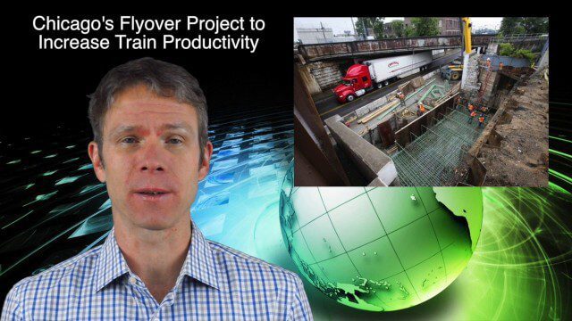
10_30 Infrastructure Broadcast (Green Buildings, Bridge Construction and More)
0 Views0 Comments0 Likes
This GeoSpatial Stream broadcast discusses infrastructure news and videos, including a report on Green Buildings; the new Englewood Flyover train project in Chicago; a smart traffic-light network; accelerated bridge construction in Rhode Island; industry news from Esri Canada, Innovyze, Maptek and Autodesk; the upcoming Trimble Dimensions conference in Las Vegas; and more.
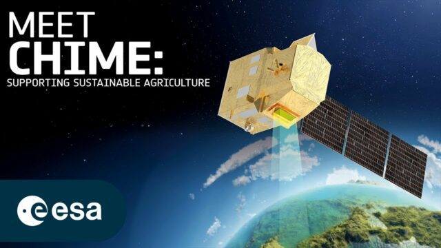
How Will Space Transform the Global Food System?
0 Views0 Comments0 Likes
According to the Food and Agriculture Organization (FAO), global agricultural production will need to increase by 60% by 2050 to meet the food demands of the growing global population. A new satellite called Copernicu...
Geostationary Operational Environmental Satellite (GOES) East and West
0 Views0 Comments0 Likes
NOAA maintains a two-satellite Geostationary Operational Environmental Satellite (GOES) constellation to watch over the Western Hemisphere.

Esri’s Geotrigger Service Explained
0 Views1 Comments0 Likes
Matt Ball spoke with Amber Case, director of Esri's R&D Center in Portland, at the Local Data Summit in Denver on Feb. 25, 2014. The conversation ranges from accessible geospatial technology, the ubiquity of mobile devices, and the connections that are made with location awareness and location-based alerts.
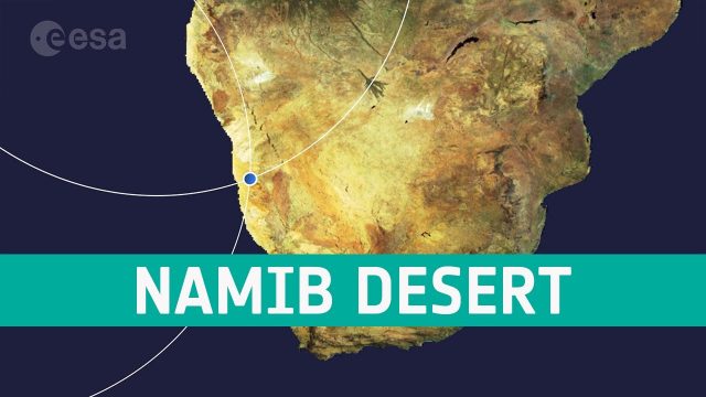
Earth from Space: Namib Desert
0 Views0 Comments0 Likes
The Copernicus Sentinel-2 mission takes us over part of the Namib Desert, considered the oldest desert on Earth, in this week's edition of the Earth from Space program.
5_21 Climate Broadcast (Antarctic Ice Shelf, ArcGIS Release and More)
0 Views0 Comments0 Likes
This GeoSpatial Stream broadcast discusses a NASA study on the shrinking Antarctica Larsen B Ice Shelf; Esri's new release of ArcGIS and its improvements and updates; industry news from Blue Marble Geographics, Boundless and BlackBridge; Nepal relief work geared toward rebuilding the area; Nepal earthquake data from RADARSAT-2; and more.
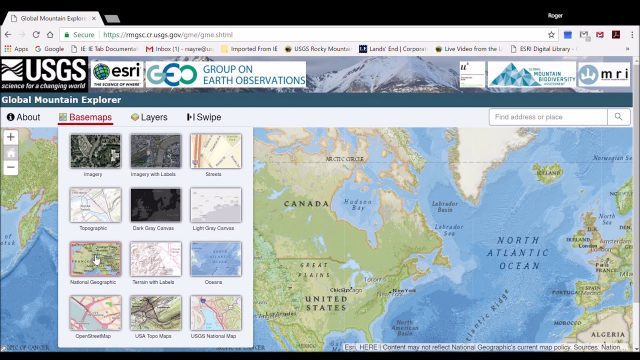
Global Mountain Explorer Video Tutorial
0 Views0 Comments0 Likes
This video contains a narrated introduction to the Global Mountain Explorer (GME), a web-based tool for visualizing and exploring three well known global mountain data layers.
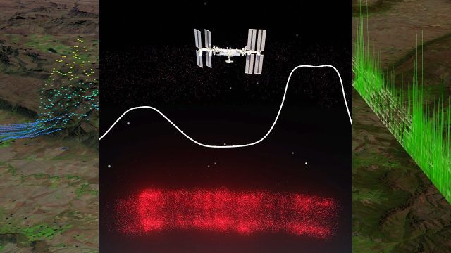
Meet GEDI! The Global Ecosystem Dynamics Investigation Sensor Aboard the ISS
0 Views0 Comments0 Likes
The Global Ecosystem Dynamics Investigation (GEDI) is a full-waveform lidar instrument that produces detailed observations of the three-dimensional structure of the Earth’s surface. GEDI precisely measures forest can...
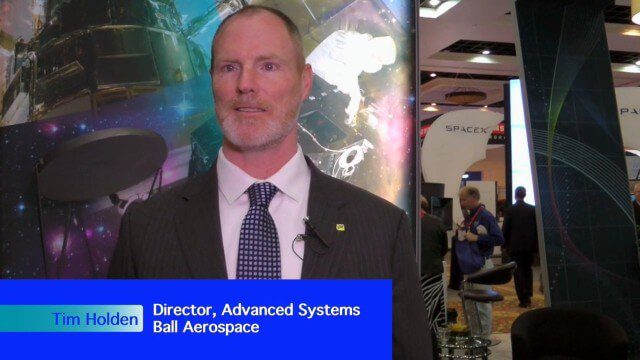
Ball Aerospace Delivers Science-Driven Sensors
0 Views0 Comments0 Likes
Ball Aerospace is a unique entity that delivers imaging instruments as well as full satellites, bringing scientists and engineers together to optimize sensor and spacecraft design. Earth Imaging Journal spoke with Tim Holden, director of advanced systems at Ball Aerospace, about sensor development, the commercialization of space and opportunities in remote sensing with increased temporal revisits.


