
Browse Archives
Safety Test of World’s Longest Glass Bridge
0 Views0 Comments0 Likes
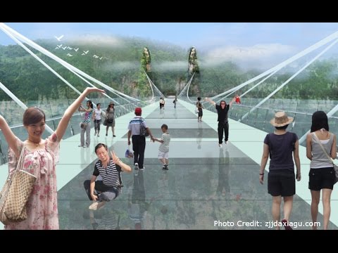
The world's highest and longest glass bridge, Zhangjiajie Grand Canyon Glass Bridge, opened to the public on Aug. 20, 2016. It offers a way to enjoy a panoramic view of the stunning Zhangjiajie Grand Canyon — if you dare to walk on it!
NASA | Landsat’s Global Perspective
0 Views0 Comments0 Likes
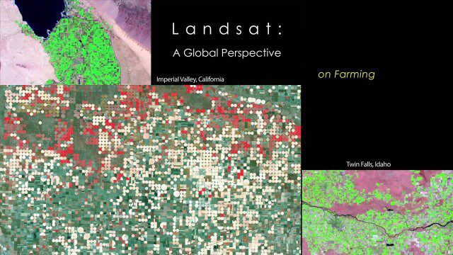
On July 23rd, 1972, the first Landsat spacecraft launched into orbit. At the time, it was called "Earth Resources Technology Satellite," or ERTS, and was the first satellite to use a scanning spectrophotometer. Previous satellites relied on film cameras (ejecting the exposed film to be caught by planes) or transmitted the signal from television cameras. The scanning sensor and its successor sensors on subsequent Landsat satellites revolutionized how we study our home planet. Celebrating this anniversary, this video is a "greatest hits" montage of Landsat data. Throughout the decades, Landsat satellites have given us a detailed view of the changes to Earth's land surface. By collecting data in multiple wavelength regions, including thermal infrared wavelengths, the Landsat fleet has allowed us to study natural disasters, urban change, water quality and water usage, agriculture development, glaciers and ice sheets, and forest health.
Shocking Images of Environmental Devastation in Peruvian Rainforest
0 Views0 Comments0 Likes
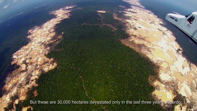
Güido Lombardi, a Peruvian journalist, tells in his news radio program at RPP Noticias the impressions that he got after overflying the affected areas by the illegal mining in Madre de Dios, in the Peruvian rainforest. These images where captured by the Carnegie Airborne Observatory.
NASA 2020: Are You Ready?
0 Views0 Comments0 Likes
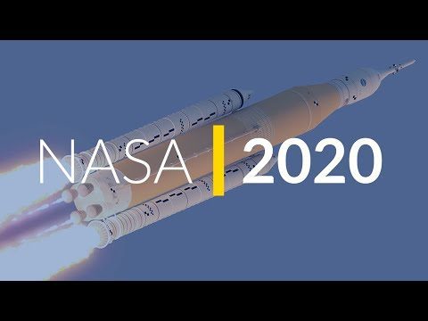
Launching Americans from U.S. soil, sending a new rover to Mars and continuing to prepare for human missions to the Moon are just a few of the things NASA has planned for 2020.
NASA Finds Second Massive Greenland Crater
0 Views0 Comments0 Likes
A NASA-led team discovered the feature using satellite data of the surface of the Greenland Ice Sheet as well as radar measurements from the airborne campaign Operation IceBridge.
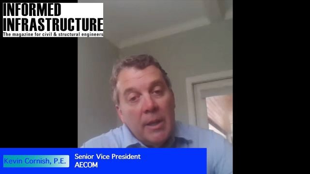
AEC from Home: Tips from Leading Professionals Adjusting to Work During the COVID-19 Pandemic
0 Views0 Comments0 Likes
In May 2020, Informed Infrastructure Editorial Director Todd Danielson interviewed three leaders of AEC firms to learn how they’re adjusting to the “new normal” and help pass along some of the tips and lessons learned from their experiences in early 2020.

QuestUAV Parachute Landing
0 Views0 Comments0 Likes
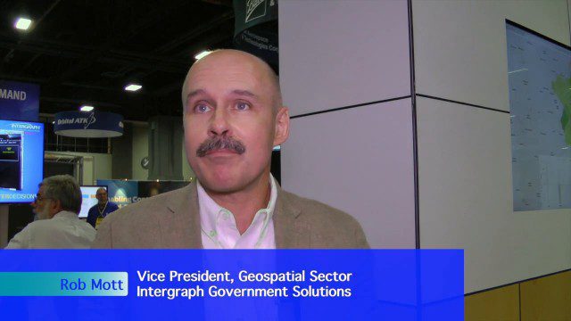
Extending Geospatial Capabilities to Support Government Missions
0 Views0 Comments0 Likes
The V1 Video team interviewed Rob Mott, vice president, Geospatial Sector, Intergraph Government Solutions, at the GEOINT Symposium in Washington, D.C. We spoke about the geospatial technological advancements, and how it is becoming more mission critical due to being more accessible and reliable. Intergraph is embracing new sensor platforms, Big Data analytics, and harnessing the cloud to ease integration and exploit geospatial information.

Harris Sensors Monitor Urban Environments
0 Views0 Comments0 Likes
The V1 Video team interviewed Eric Webster, Vice President and General Manager of Environmental Solutions at Harris Corp., at the 32nd Space Symposium held April 11-14, 2016, in Colorado Springs, Colo. He discusses the company's GreenLITE carbon dioxide monitoring system and how it can monitor an entire city, an example of the technology being used in Paris, and the benefits of a multi-sensor platform for environmental analysis.
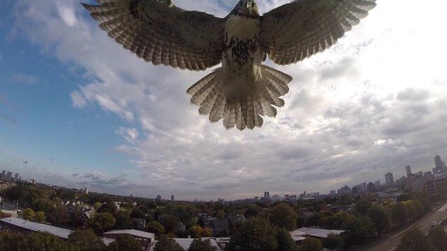
Hawk Attacks a Drone
0 Views0 Comments0 Likes
A hawk is recorded attacking (and defeating) an aerial drone.


