
Browse Archives

What Is the Geodesign Summit?
0 Views6 Comments0 Likes
Esri's annual Geodesign Summit has been a key element in moving the geodesign movement forward. This video from GeoSpatial Stream summarizes some of the important geodesign concepts as well as how Esri's conference informs and motivates those interested in designing a better and smarter built environment.
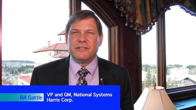
Harris Tracks and Responds to Earth Observing Transformations
0 Views0 Comments0 Likes
Earth Imaging Journal spoke with Bill Gattle, vice president and general manager of national systems at Harris, with responsibility for space and intel business (commercial and government) as well as geospatial, imagery and Earth-observing technologies. We spoke about sensing, processing and providing actionable information to the marketplace. The accessibility of space, commercialization of sensors and high-powered analytics is transforming the market and expanding the applications and insights.
Stanford-Developed Technology Could Help Prevent Wildfires
0 Views0 Comments0 Likes
A new technology developed by Stanford engineers promises a way to prevent a significant percentage of wildfires and drastically reduce the cost of fighting them.

Jack Dangermond Addresses Climate Change and the Importance of GeoDesign (3 of 4)
0 Views0 Comments0 Likes
In the third of four installments, Todd Danielson interviews Jack Dangermond, President and Founder, Esri, at the 2014 Esri User Conference in San Diego. Jack talks about the Climate Resilience App Challenge, meeting the president and working on climate issues, and the importance of GeoDesign and its growing acceptance and use.
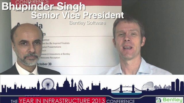
Bhupinder Singh Interview Short Version
0 Views0 Comments0 Likes
A condensed version of Todd Danielson interviewing Bhupinder Singh, senior vice president, Bentley Software. They discuss his role with the company, Bentley's "Connected Approach" to software design, how to Innovate with and take advantage of Technology Disruptions, and Bentley's engineering approach called "Optioneering."
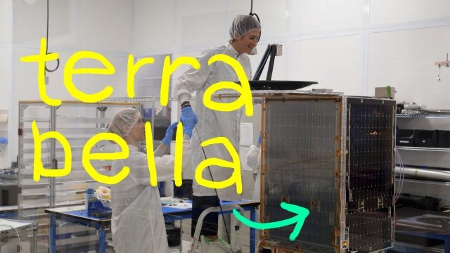
Terra Bella, Google’s Satellite Startup
0 Views0 Comments0 Likes
We both grew up on a healthy diet of sci-fi shows and LOVE space, so ever since a couple of years ago when we heard that a satellite company had joined Google...we’ve been wanting to visit it. Which we finally did in this episode! Get ready for lots of cool satellite imagery + info. Want to learn more about Terra Bella? → https://terrabella.google.com/
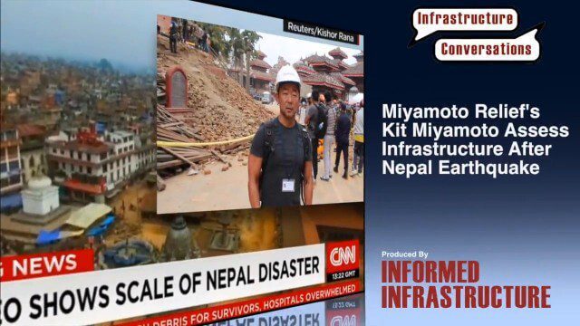
Miyamoto Relief’s Kit Miyamoto Assesses Infrastructure After Nepal Earthquake
0 Views0 Comments0 Likes
Kit Miyamoto, the CEO of Miyamoto International and nonprofit Miyamoto Relief, reports from Khatmandu, Nepal, where he has been assessing the earthquake's damage to local infrastructure.
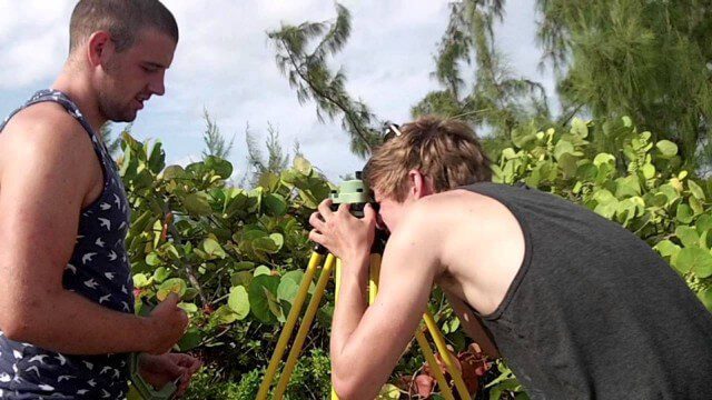
Surveying, Mapping and GIS Expedition to British Virgin Islands
0 Views0 Comments0 Likes
Horizons Mission Time-Lapse from USA to Africa
0 Views0 Comments0 Likes
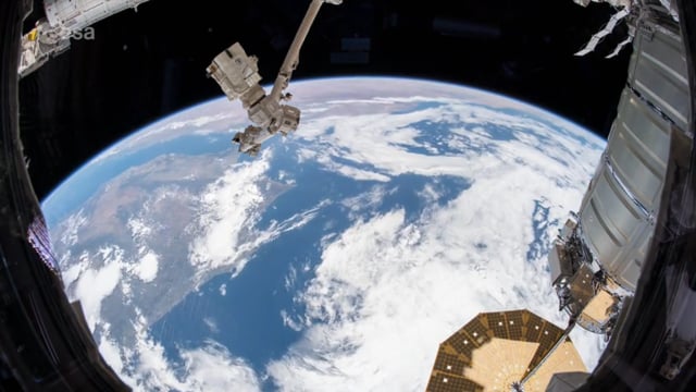
Join ESA astronaut Alexander Gerst for a quick flight from the USA to Africa aboard the International Space Station in this time-lapse.
Destination Low Earth Orbit
0 Views0 Comments0 Likes
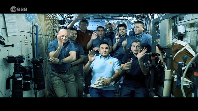
ESA astronaut Andreas Mogensen narrates this video on the inspiring endeavours of human spaceflight and how it changes our daily lives.


