
Browse Archives
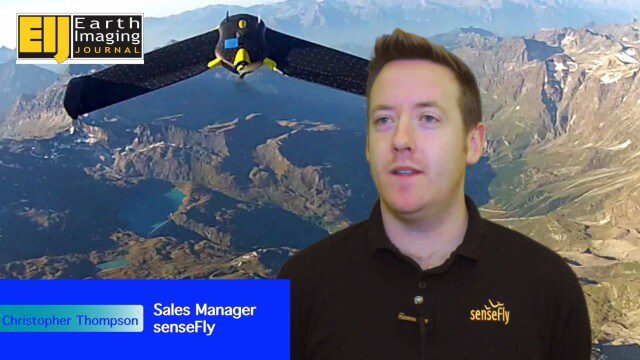
Getting Accurate Results Quickly and Cheaply with Unmanned Aircraft
0 Views0 Comments0 Likes
The V1 Video team spoke to Christopher Thompson, the sales manager for senseFly, the manufacturers of fixed-wing and rotary unmanned aircraft systems (UASs) for mapping. We talked about the broad range of applications and some interesting case studies. We also touched on the inspection capabilities of their new eXom rotary platform.
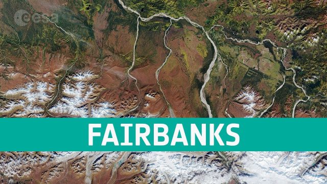
Earth from Space: Fairbanks, Alaska
0 Views0 Comments0 Likes
The Copernicus Sentinel-2 takes us over the city of Fairbanks in Alaska and its surroundings, in this edition of the Earth from Space program.

Wildlife Works and Everland Reducing Emissions from Deforestation
0 Views0 Comments0 Likes
In this video you will learn firsthand how investing in the communities that protect our most precious resources results in a reduction of harmful carbon emissions and prevents the need for slash and burn for subsistence.
Commercial Drones Give A Bird’s Eye View for Inspections
0 Views0 Comments0 Likes
Commercial drones from Aerialtronics take flight with Watson IoT and cognitive visual recognition capabilities. Together, IBM Watson IoT and Aerialtronics can help companies open up expansive possibilities to gain insight in places not easily accessible to humans from monitoring city traffic patterns to inspecting wind turbines, oil rigs and cell tower optimization.
8_27 Asia-Pacific Broadcast (Rising Seas, Pollution, Drones and More)
0 Views0 Comments0 Likes
This Asia-Pacific-themed GeoSpatial Stream broadcast discusses rising sea levels in coastal cities; decreased air pollution in the Middle East; Australian researchers using drones to track wildlife; images of Typhoon Goni over Japan; industry news from Esri, Abu Dhabi, Korea Aerospace Research and Maptek; thoughts on urban population explosions in China and personal travel experiences; and more.
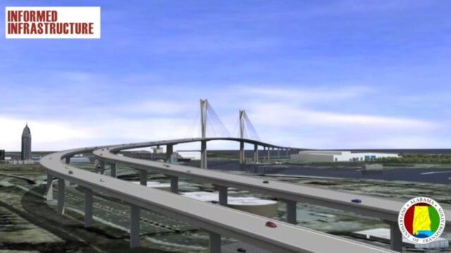
Mobile River Bridge Animation
0 Views0 Comments0 Likes
The visualization team at Alabama DOT created a 3D conceptual model of the entire proposed Mobile River Bridge and Bayway project with realistic renderings and animations of the driving experience as well as a 360-degree flyover to provide context from all angles around the city. This work did a great deal to achieve public buy-in, and the project is being fast tracked given the positive impact it will have on the area.
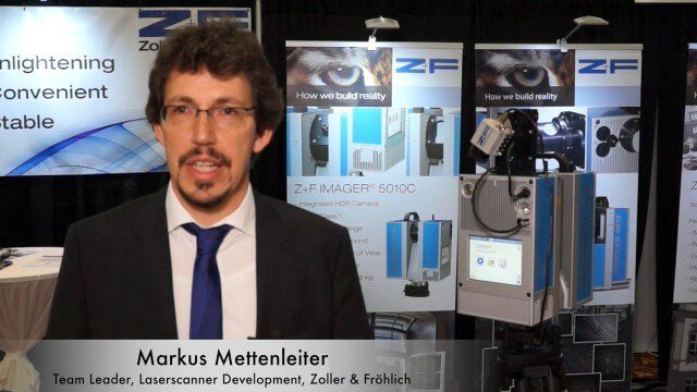
Simon Kresser and Markus Mettenleiter (Z+F) Interview
0 Views0 Comments0 Likes
Matt Ball interviews Zoller and Fröhlich's Simon Kresser, Marketing, and Markus Mettenleiter, Team Leader, Laserscanner Development, at SPAR International in Colorado Springs, Colo. They discuss Z+F's new laserscanner features and accessories, company goals, a product tour, thermal cameras and uses, and more.
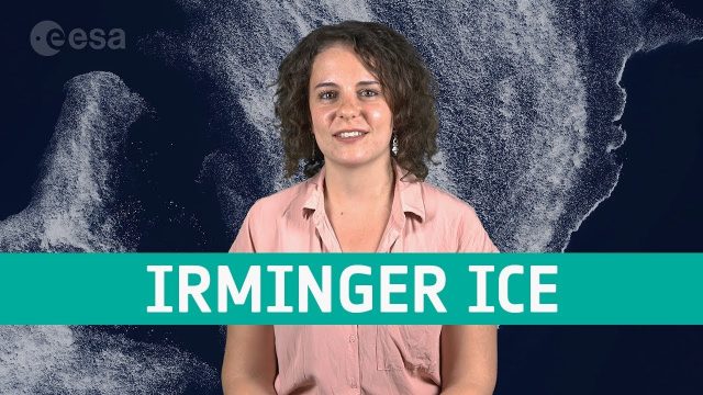
Earth from Space: Irminger Sea Ice Swirl
0 Views0 Comments0 Likes
Copernicus Sentinel-2 takes us over fragments of swirling sea ice off the coast of Greenland, in this week's edition of the Earth from Space program.
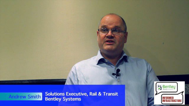
Exciting Times for Road and Rail Infrastructure
0 Views0 Comments0 Likes
The V1 Video team interviewed Andrew Smith at the 2015 Bentley Year in Infrastructure Conference in London in early November. Smith is a Solutions Executive, Rail & Transit, for Bentley Systems, and he discussed new technologies in rail design and construction, London's Crossrail project and its effect on BIM, and evolving business processes affecting the industry.
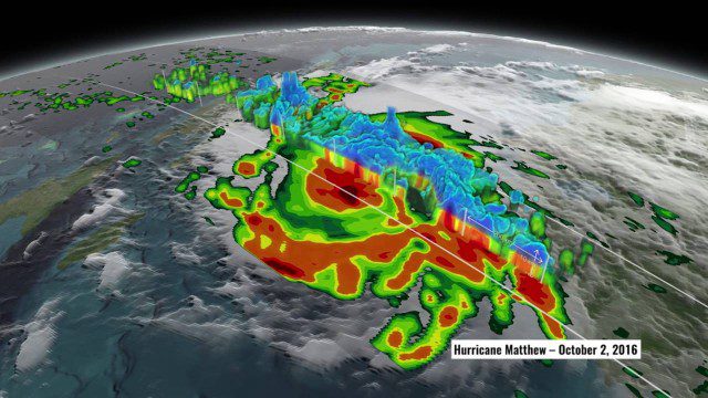
NASA’s 3D View Shows Hurricane Matthew’s Intensity
0 Views0 Comments0 Likes
NASA scientists used satellite data to peer into Hurricane Matthew, learning how and why the massive storm changed throughout its course.


