
Browse Archives
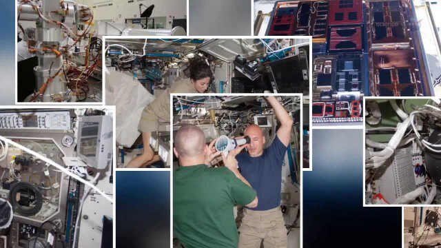
International Space Station Gets a Ten-Year Extension
0 Views0 Comments0 Likes
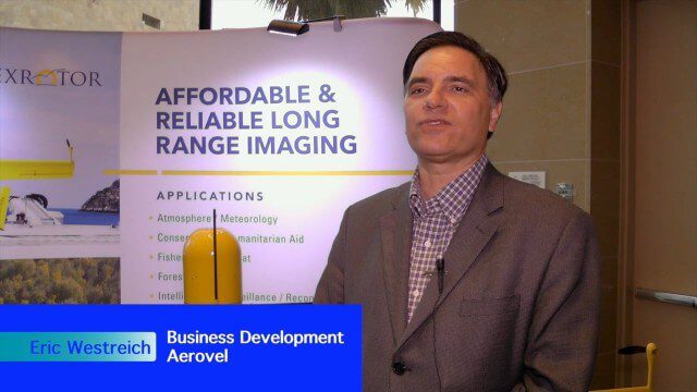
Hybrid VTOL Drone Eases Takeoff and Landing
0 Views0 Comments0 Likes
The V1 Video team interviewed Eric Westreich, who works on Business Development at Aerovel, at the 2015 Esri User Conference in San Diego. We spoke about the unique Aerovel Flexrotor hybrid-electric vertical takeoff and landing (VTOL) craft that can take off and land vertically, rotating its flight to cover more ground and takeoff from a moving platform. The Aerovel Flexrotor comes from a marine legacy, where runways aren’t possible other than on an aircraft carrier.
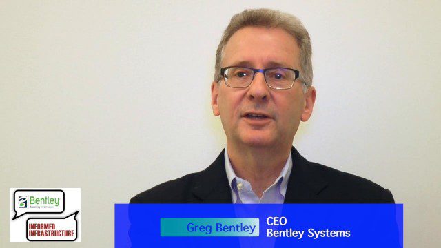
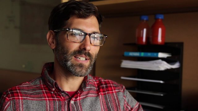
Greg Bentley: Extending the Intelligent Model
0 Views0 Comments0 Likes
Informed Infrastructure spoke to Greg Bentley, CEO of Bentley Systems, at the company’s CONNECTION roadshow kickoff in Philadelphia. We spoke about the company’s announcements at the event as well as their continued extension of intelligent modeling to better-performing assets and projects.

Harris Sensors Monitor Urban Environments
0 Views0 Comments0 Likes
The V1 Video team interviewed Eric Webster, Vice President and General Manager of Environmental Solutions at Harris Corp., at the 32nd Space Symposium held April 11-14, 2016, in Colorado Springs, Colo. He discusses the company's GreenLITE carbon dioxide monitoring system and how it can monitor an entire city, an example of the technology being used in Paris, and the benefits of a multi-sensor platform for environmental analysis.
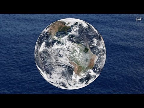
NASA Follows Changing Freshwater from Space
0 Views0 Comments0 Likes
The first question NASA researchers studying freshwater on Earth ask is: Where is the water?
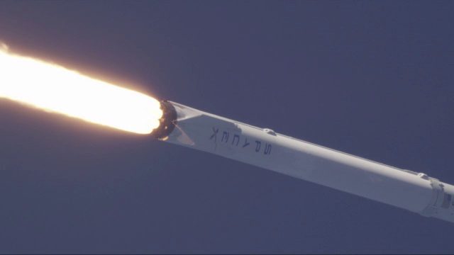
SpaceX Falcon 9 Liftoff with TESS
0 Views0 Comments0 Likes
A Falcon 9 rocket lifts off at 6:51 p.m. EDT from Space Launch Complex 40 at Cape Canaveral Air Force Station carrying NASA's Transiting Exoplanet Survey Satellite (TESS).
Stanford-Developed Technology Could Help Prevent Wildfires
0 Views0 Comments0 Likes
A new technology developed by Stanford engineers promises a way to prevent a significant percentage of wildfires and drastically reduce the cost of fighting them.

10_9 Earth Imaging Broadcast (Land-Cover Change, Seafloor Maps and More)
0 Views0 Comments0 Likes
This GeoSpatial Stream broadcast discusses Earth Imaging news, including new USGS land-cover change models; new maps of the world's seafloor; NASA's Global Precipitation Measurement satellite; industry news from Rapidlasso, Sewall and Optech; an imaging drone from Intel's wearable technology contest; and more.
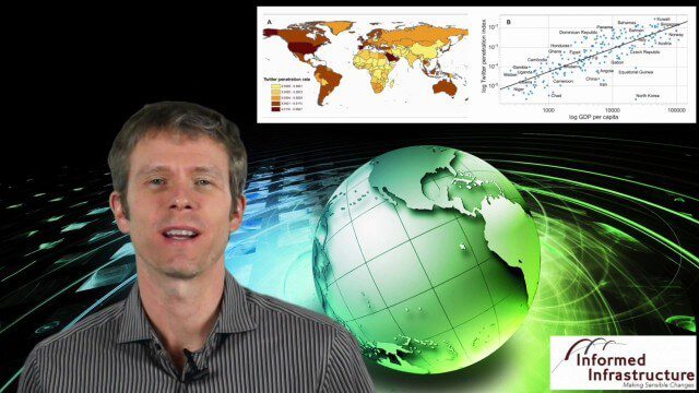
GeoSpatial Stream 11_18 (protected areas, geolocated tweets, infrastructure investment and more)
0 Views0 Comments0 Likes
This Daily Digest was published on 11/18/2013. Topics covered include identifying protected habitat areas, satellite imagery legislation, geolocated Tweets to reveal travel patterns, Indonesian infrastructure investment, and more.
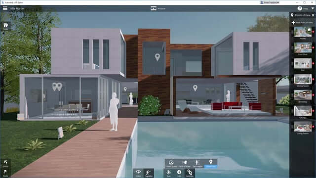
Autodesk LIVE Brings Interactive Storytelling to Life
0 Views0 Comments0 Likes
Autodesk Inc. recently launched Autodesk LIVE, a new interactive visualization service that offers Revit users in the architecture, engineering and construction industries (AEC) the ability to transform their designs into fully interactive 3D models. This video provides a demo of the new technology.


