
Browse Archives
Listening to the Amazon: Tracking Deforestation Through Sound
0 Views0 Comments0 Likes
From space, parts of the Amazon rainforest that have previously been logged or burned may look lush and green, like a place buzzing with activity and full of sounds. But inside the rainforest, the animal life may tell...
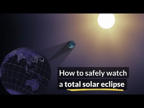
How to Safely Watch a Solar Eclipse
0 Views0 Comments0 Likes
It is never safe to look directly at the sun's rays - even if the sun is partly obscured. When watching a partial eclipse you must wear eclipse glasses at all times if you want to face the sun, or use an alternate indirect method. This also applies during a total eclipse up until the time when the sun is completely and totally blocked.
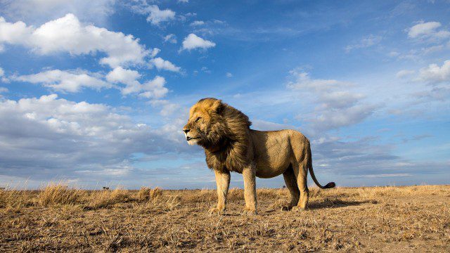
BeetleCam Project
0 Views0 Comments0 Likes
New video footage from BeetleCam in the Serengeti, plus announcing the new BeetleCam Hybrid!
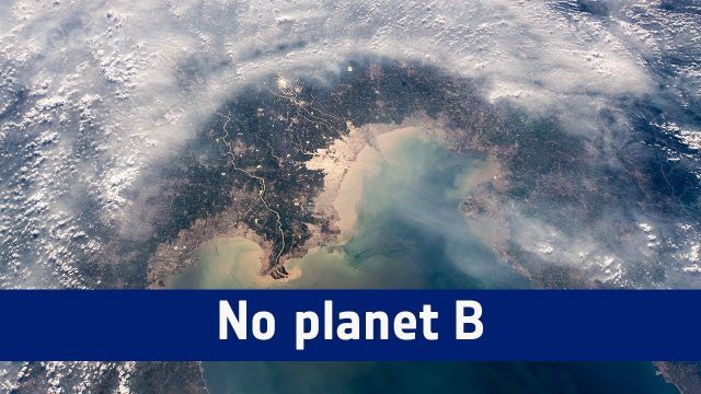
No Planet B
0 Views0 Comments0 Likes
A message from ESA astronaut Alexander Gerst from on board the International Space Station to mark the start COP24, the UN Climate Change Conference taking place in Katowice, Poland.
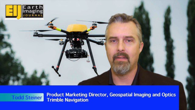
Trimble Expands UAS Fleet with Multirotor and High-Precision Systems
0 Views0 Comments0 Likes
The V1 Video team spoke to Todd Steiner, product marketing director for Trimble’s geospatial imaging and optics products (including UAVs). We talked about the new Trimble ZX5 multirotor system, which is complementary to the fixed-wing UAVs. Their new Trimble UX5-HP introduces a high-precision RTK system with reduced need for ground control.
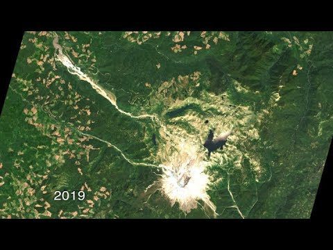
40 Years of Watching Mount St. Helens
0 Views0 Comments0 Likes
Both before and after the eruption, Landsat satellites were taking regular observations of the area, and their data is being used to study how forests recover from a very large disturbance.

3_26 Climate Broadcast (Melting Ice, Deadly Air Pollution, Food Maps and More)
0 Views0 Comments0 Likes
This GeoSpatial Stream broadcast discusses the world's melting ice and rising seas, a WHO report stating that air pollution kills one in eight worldwide, "Cash for Clunker Maps," Food Maps, a GIS rap, and more.
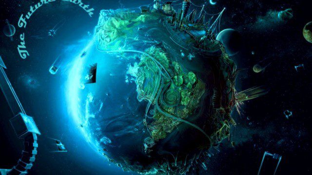
Planet Earth 100 Million Years In The Future – What will happen to our world?
0 Views0 Comments0 Likes
Planet Earth 100 Million Years In The Future - What will happen to our world? This is an HD documentary from WORLD GEOGRAPHIC CHANNEL.

A Trip Through Time With Landsat 9
0 Views0 Comments0 Likes
For half a century, the Landsat mission has shown us Earth from space. Now, come along with us on a "roadtrip" through the decades to see how the technology on this NASA and U.S. Geological Survey partnership has evo...
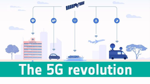
Space’s Part in the 5G Revolution
0 Views0 Comments0 Likes
We need satellites to ensure businesses and citizens can benefit smoothly from 5G.


