
Browse Archives

Software Aids Stormwater and Sewage Infrastructure Design
0 Views0 Comments0 Likes
Urbano software is used for the design of sewage and water distribution networks. Urbano Canalis is the module used for design of storm and sanitary sewage systems. You can create complete storm and sanitary sewage system designs, starting from the initial network definition to the analysis of hydraulic results.
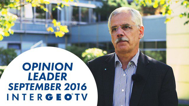
Dr. Joachim Rix – INTERGEO Opinion Leader Talk
0 Views0 Comments0 Likes
Dr. Joachim Rix, Competence Center Spatial Information Management at Fraunhofer IGD, speaks about the project “Smarticipiate” and his congress block at INTERGEO in Hamburg.
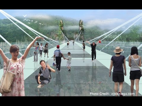
Safety Test of World’s Longest Glass Bridge
0 Views0 Comments0 Likes
The world's highest and longest glass bridge, Zhangjiajie Grand Canyon Glass Bridge, opened to the public on Aug. 20, 2016. It offers a way to enjoy a panoramic view of the stunning Zhangjiajie Grand Canyon — if you dare to walk on it!
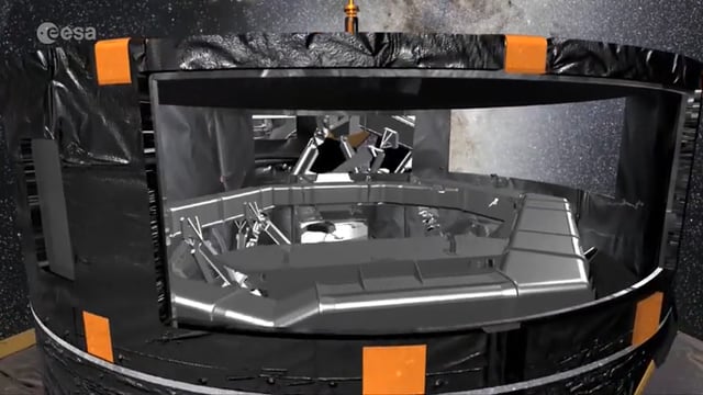
First Data from ESA’s Gaia Mission
0 Views0 Comments0 Likes
The first intermediate data release, containing, among other things, three-dimensional positions and two dimensional motions of a subset of two million stars, demonstrates that Gaia’s measurements are as precise as planned, paving the way to create the full map of one billion stars to be released towards the end of 2017.

9_27 Climate Change Broadcast (Latest Data, Satellite Launches and More)
0 Views0 Comments0 Likes
This GeoSpatial Stream looks at the latest data on climate change from NOAA and NASA, including more record temperatures, flooding and shrinking sea ice; new satellites from Google's Terra Bella and Peru; Esri's new way of measuring oceans: the EMU; industry news from Phase One Industrial, TerraGo, Datumate and Satlab Geosolutions; a video of drone imaging for ESA's deep-space tracking system; and more.
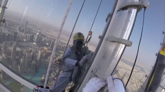
The LED Exterior Facade of Burj Khalifa Uncovered
0 Views0 Comments0 Likes
Facts uncovered by a dedicated team of specialized engineers. All you need to know about the largest LED screen in the world covering the world's tallest tower's facade.
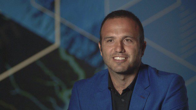
Esri Business Summit: Axel Bedikyan, Cirque du Soleil
0 Views0 Comments0 Likes
Cirque du Soleil turned to ArcGIS when they needed to drive business results. This vibrant company known for its high quality entertainment feels the same care and attention to detail they put into their business is mirrored in Esri’s solutions.
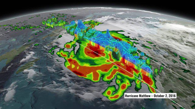
NASA’s 3D View Shows Hurricane Matthew’s Intensity
0 Views0 Comments0 Likes
NASA scientists used satellite data to peer into Hurricane Matthew, learning how and why the massive storm changed throughout its course.
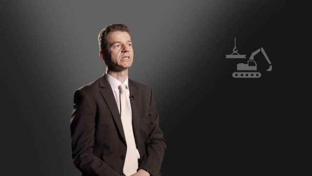
Construction Climate Talks (Episode 6 – Roland Hunker)
0 Views0 Comments0 Likes
Roland Hunziker, director of the Sustainable Buildings and Cities programme at the WBCSD, discusses how to redefine value and get businesses to understand how to drive sustainable outcomes.
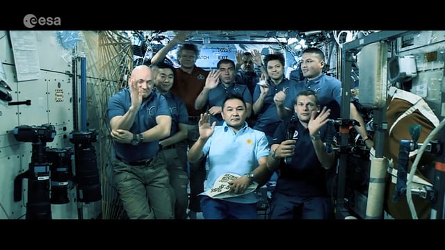
Destination Low Earth Orbit
0 Views0 Comments0 Likes
ESA astronaut Andreas Mogensen narrates this video on the inspiring endeavours of human spaceflight and how it changes our daily lives.


