
Browse Archives
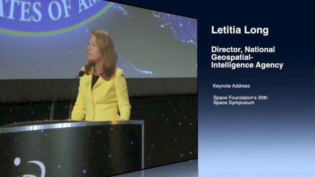
Letitia Long (Director, NGA) Keynote at 30th Space Symposium
0 Views0 Comments0 Likes
Letitia A. Long, Director of the National Geospatial-Intelligence Agency (NGA), delivered an important and powerful keynote address at the 30th Space Symposium in Colorado Springs, Colo., on May 20, 2014. Topics include the future of space programs and the space industry, their roles in intelligence, the changing nature of worldwide threats, and how space-based platforms can help predict new challenges.
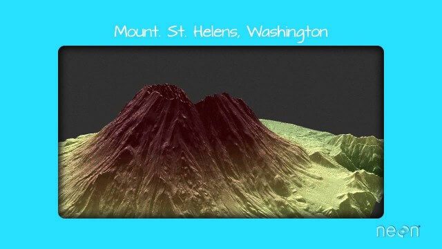
LiDAR – Introduction to Light Detection and Ranging
0 Views0 Comments0 Likes
This video presents LiDAR of light detection and ranging, an active remote sensing system that uses laser energy, to measure the heights of objects like trees and buildings and even the ground. This video was developed by the National Ecological Observatory Network (www.neoninc.org).
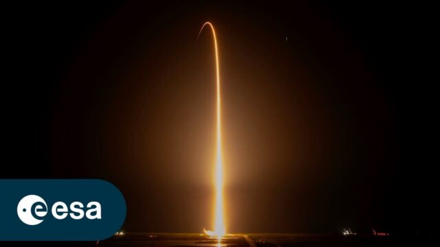
Liftoff for Crew-7 Aboard Crew Dragon Spacecraft Endurance
0 Views0 Comments0 Likes
On Aug. 26, 2023, Crew-7 aboard the Crew Dragon spacecraft Endurance embarked on a journey to the International Space Station. Watch the full coverage of their launch from pad 39A at Kennedy Space Center in Florida. ...
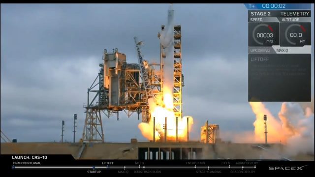
Liftoff of SpaceX CRS-10
0 Views0 Comments0 Likes
The SpaceX Falcon 9 rocket launches from Launch Complex 39A at Kennedy Space Center in Florida. The launch vehicle is carrying a Dragon spacecraft on SpaceX CRS-10, the company's tenth commercial resupply services mission to deliver cargo to the International Space Station.
Linking Project Delivery with Asset Management
0 Views0 Comments0 Likes
The V1 Video team interviewed Bill Pratt at the 2015 Bentley Year in Infrastructure Conference in London in early November. Pratt is principal engineer, AEC Applications, Connecticut DOT, and he discussed how he and his fellow engineers are looking to improve project delivery, asset management and project tracking by using new technology.
Listening to the Amazon: Tracking Deforestation Through Sound
0 Views0 Comments0 Likes
From space, parts of the Amazon rainforest that have previously been logged or burned may look lush and green, like a place buzzing with activity and full of sounds. But inside the rainforest, the animal life may tell...
Live Planes in ViziCities using Plane Finder
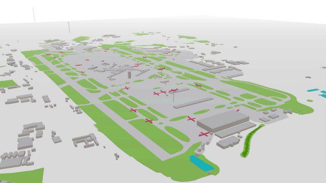
0 Views0 Comments0 Likes

Living History: The John Feathers Map Collection
0 Views0 Comments0 Likes
LAPL Map Librarian Glen Creason tells the tale of an amazing hidden map collection that doubled the library's archive in a single day. http://lareviewofbooks.org/av/
LizardTech Combining LiDAR Point Cloud and Image Compression
0 Views0 Comments0 Likes
The V1 Video team interviewed Jeff Young, Manager of Regional and International Sales for LizardTech, at the 2015 Esri User Conference in San Diego. The company launched the 9.5 release of its GeoExpress software, which combines image and LiDAR compression technology. The latest tools add automation for color balancing and indexing images.


