
Browse Archives
Working from Reality Capture to Modeling to Consumption
0 Views0 Comments0 Likes
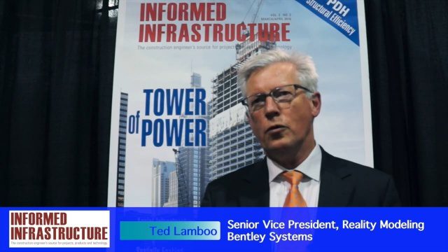
The V1 Video team interviewed Ted Lamboo, Senior Vice President of Reality Modeling for Bentley Systems, at the 2016 SPAR 3D Expo and Conference, held April 11-14 in The Woodlands, Texas. He discusses reality modeling and the full cycle from capture to modeling to consumption, Bentley products used in that cycle such as ContextCapture, and examples of such use in highway design and substation modeling.
The Challenges and Benefits of Interoperability
0 Views0 Comments0 Likes
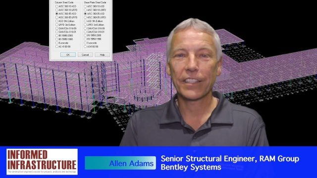
The V1 Video team interviewed Allen Adams, Senior Structural Engineer, RAM Group, Bentley Systems, at the 2016 NASCC: The Steel Conference, held April 13-15 in Orlando, Fla. He discusses the major challenges of interoperability in the infrastructure industry, Bentley Systems' approach to these difficulties, what it looks like when data isn't open to others within an organization, and how Bentley software saves its clients time and money.
OpenBridge Modeler Saves Time, Money throughout Lifecycle
0 Views0 Comments0 Likes
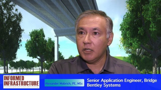
The V1 Video team interviewed Alexander Mabrich, Senior Engineering Consultant with Bentley Systems, at the 2016 NASCC: The Steel Conference, held April 13-15 in Orlando, Fla. He discusses the gap between concept and design in bridge construction, Bentley's OpenBridge Modeler product and how it can help throughout the process, and how a model can continue to be used after construction in maintenance and rehabilitation.
Software Interoperability Leads to Engineering Productivity
0 Views0 Comments0 Likes
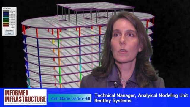
The V1 Video team interviewed Anne Marie Garko-Hill, Technical Manger, Analytical Modeling Unit, Bentley Systems, at the 2016 NASCC: The Steel Conference, held April 13-15 in Orlando, Fla. She discusses engineers' desire for maximum productivity, Bentley Systems' affinity for developers with design experience, the benefits of Bentley software for its users, and how interoperability leads to greater productivity.

5_12 Infrastructure Broadcast (Earthquakes, Streetcars and More)
0 Views0 Comments0 Likes
This Infrastructure-themed GeoSpatial Stream broadcast covers the devastating earthquake in Ecuador on April 16, 2016, and relief efforts from Miyamoto International to help rebuild the city's hard-hit infrastructure; a recently opened $100-million-dollar streetcar project in Kansas City; industry news from Trimble, Bentley Systems, Transoft Solutions and Autodesk; a video interview clip about Chicago's famed 150 N. Riverside Building; and more.
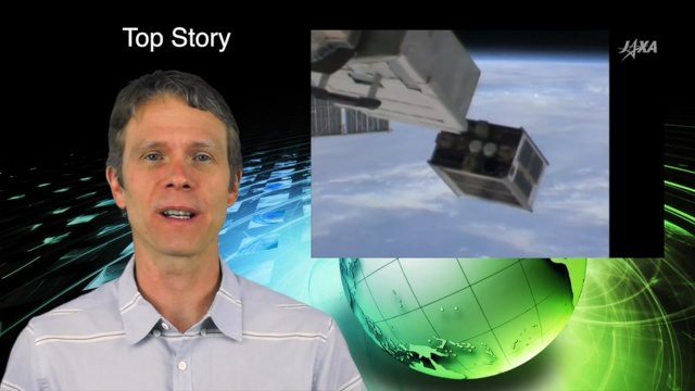
5_26 Asia Pacific Broadcast (DIWATA-1, Apple Maps and More)
0 Views0 Comments0 Likes
This Asia Pacific-themed GeoSpatial Stream broadcast covers the recent launch of DIWATA-1, The Philippines' first microsatellite; Australia's move toward more-accurate GNSS navigation at its airports; Apple opening a technical and support center in Hyderabad, India, for its Maps and navigation services; industry news from NTT Data, LizardTech, BJ Open Tide BoGan, Ozius Spatial and U-blox; a video clip from JAXA (in Japanese) about weather monitoring; and more.
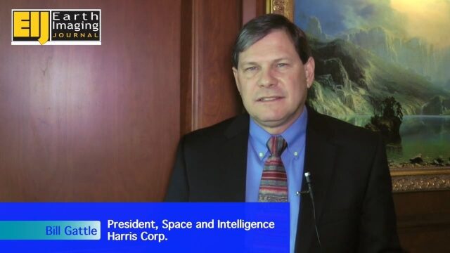
A Revolution in the Value of Remote Sensing
0 Views0 Comments0 Likes
The V1 Video team interviewed Bill Gattle, President of Space and Intelligence at Harris Corp., at the 32nd Space Symposium held April 11-14, 2016, in Colorado Springs, Colo. He discusses the worldwide value transformation seen in remote sensing, the company's doubling in size with its acquisition of Exelis and the efforts to make that an effective transition, and the growing importance of the GEOINT space.

Harris Sensors Monitor Urban Environments
0 Views0 Comments0 Likes
The V1 Video team interviewed Eric Webster, Vice President and General Manager of Environmental Solutions at Harris Corp., at the 32nd Space Symposium held April 11-14, 2016, in Colorado Springs, Colo. He discusses the company's GreenLITE carbon dioxide monitoring system and how it can monitor an entire city, an example of the technology being used in Paris, and the benefits of a multi-sensor platform for environmental analysis.

Hurricane Forecasts Rely on Modeling the Past
0 Views0 Comments0 Likes
Improving hurricane forecasts means testing historical storms with today's sophisticated models and supercomputers. NASA and NOAA work together in gathering ground and satellite observations, as well as experimenting with research forecast models. As a result of this collaboration, model resolution has increased, and scientists are discovering more about the processes that occur within these powerful storms. The Global Precipitation Measurement (GPM) Mission is a joint NASA and Japan Aerospace Exploration Agency (JAXA) mission that measures all forms of precipitation around the globe. GPMs Microwave Imager, or GMI, has proven useful in seeing beneath the swirling clouds and into the structure of tropical cyclones. The information gathered by GPM and other missions will be used to improve forecast models.

6_9 Earth Imaging Broadcast (Satellite Success, Asteroid Mining and More)
0 Views0 Comments0 Likes
This Earth Imaging-themed GeoSpatial Stream broadcast discusses the recent streak of success at the European Space Agency, including its Sentinel and Galileo launches as well as a demonstration of the SpaceDataHighway; a NASA video about its North Atlantic Aerosols and Marine Ecosystems Study (NAAMES) mission; industry news from Merrick-Surdex Joint Venture, TerraGo, Earth-i, Teledyne Optech and Siteco Informatica; thoughts on asteroid mining and related benefits to Earth sensing; and more.


